
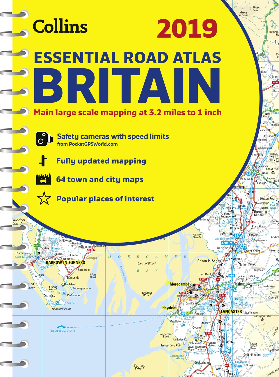
Title
2019 Collins Essential Road Atlas Britain,Used
Sold by Ergodebooks, an authorized reseller.
Returns accepted within 30 days | support@ergodebooks.com
Shipping Information
- Free Standard Shipping — United States only
- Processing Time: 3–5 business days
- Estimated Delivery: 6–10 business days after dispatch
- Double-boxed, fully insured & discreetly packaged
- Tracking number sent via email once dispatched
Returns & Refund
Returns accepted within 30 days of delivery.
Damaged or Defective Item
Free return shipping + replacement or full refund
Wrong Item Received
Free return shipping + replacement or full refund
Change of Mind
Return shipping at customer's expense · 25% restocking fee applies
Payment Option

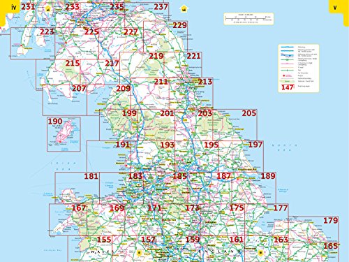
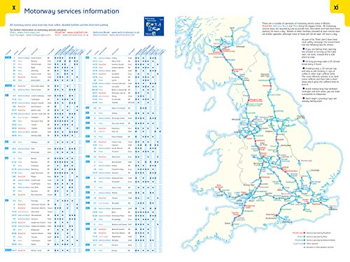
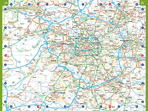
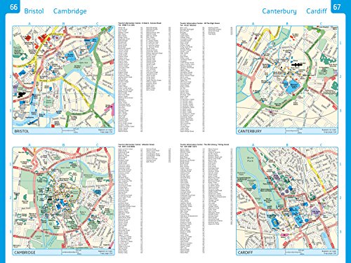
This A4 road atlas with popular lieflat spiral binding features clear, detailed road mapping, at a scale of 3.2 miles to 1 inch (1:200,000) for England, Wales and Southern Scotland and at 4.2 miles to 1 inch (1:266,000) in Northern Scotland, with land height shown by attractive layer colouring.The atlas includes: Route planning section including maps at a scale of 22 miles to 1 inch for long distance route planning, motorway services information and a handy distance calculator chart. 26 urban area approach maps at a larger scale which clearly show the best routes through and into the busiest builtupareas. 64 street maps focused on town centres showing places of interest, car park locations and oneway streets. All the street maps are fully indexed. Fully updated fixed speed camera sites with average speed camera locations clearly highlighted. All speed cameras show the speed limit. Over 30 categories of places of interest including castles, theme parks, sports venues, universities, mountain bike trails and surfing beaches. The top 1000 most visited places of interest are indexed with full postcodes to aid integration with satnav systems. Easy to use, clear road maps at a scale of 3.2 miles to 1 inch (1:200,000) for England, Wales and Southern Scotland and at 4.2 miles to 1 inch (1:266,000) in Northern Scotland.This the ideal purchase for drivers, navigators and route planners who want the very best road atlas of Britain in an A4 format.
⚠️ WARNING (California Proposition 65):
This product may contain chemicals known to the State of California to cause cancer, birth defects, or other reproductive harm.
For more information, please visit www.P65Warnings.ca.gov.