
Title
A History Of The Second World War In 100 Maps
Sold by Ergodebooks, an authorized reseller.
Returns accepted within 30 days | support@ergodebooks.com
Shipping Information
- Free Standard Shipping — United States only
- Processing Time: 3–5 business days
- Estimated Delivery: 6–10 business days after dispatch
- Double-boxed, fully insured & discreetly packaged
- Tracking number sent via email once dispatched
Returns & Refund
Returns accepted within 30 days of delivery.
Damaged or Defective Item
Free return shipping + replacement or full refund
Wrong Item Received
Free return shipping + replacement or full refund
Change of Mind
Return shipping at customer's expense · 25% restocking fee applies
Payment Option

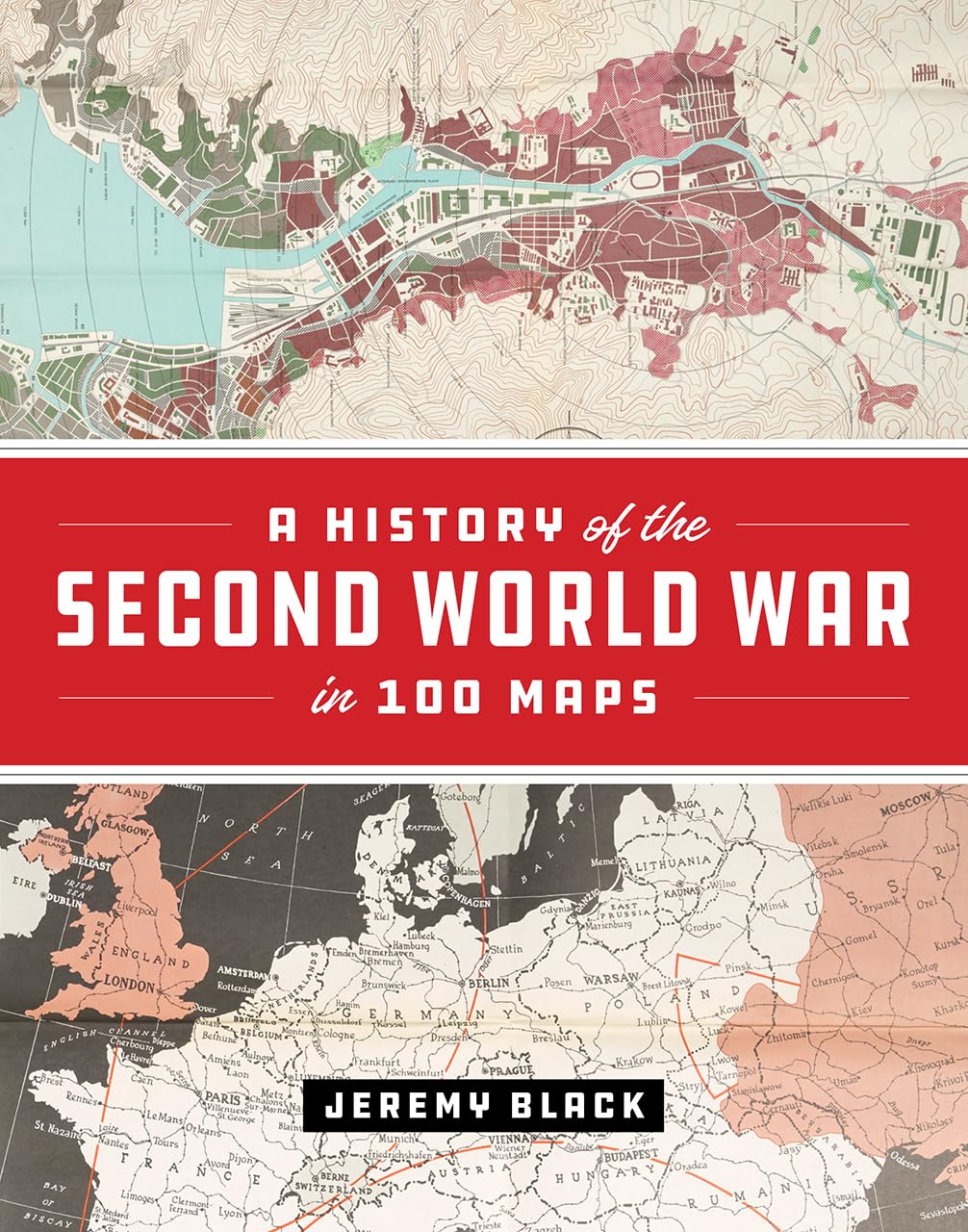
The First World War Was Marked By An Exceptional Expansion In The Use And Production Of Military Cartography. But World War Ii Took Things Even Further, Employing Maps, Charts, Reconnaissance, And The Systematic Recording And Processing Of Geographical And Topographical Information On An Unprecedented Scale. As Jeremy Blackone Of The Worlds Leading Military And Cartographic Historiansconvincingly Shows In This Lavish Fullcolor Book, It Is Impossible To Understand The Events And Outcomes Of The Second World War Without Deep Reference To Mapping At All Levels. In World War Ii, Maps Themselves Became The Weapons.A History Of The Second World War In 100 Maps Traces How Military Cartography Developed From Simply Recording And Reflecting History To Having A Decisive Impact On Events Of A Global Scale. Drawing On One Hundred Key Maps From The Unparalleled Collections Of The British Library And Other Sourcesmany Of Which Have Never Been Published In Book Form Beforejeremy Black Takes Us From The Prewar Mapping Programs Undertaken By Both Germany And The United Kingdom In The Mid1930S Through The Conflicts End A Decade Later. Black Shows How The Development Of Maps Led Directly To The Planning Of The Complex And Fluid Maneuvers That Defined The European Theater In World War Ii: For Example, Aerial Reconnaissance Photography Allowed For The Charting Of Beach Gradients And Ocean Depths In The Runup To The Dday Landings, And The Subsequent Troop Movements At Normandy Would Have Been Impossible Without The Help Of Situation Maps And Photos. In The Course Of The Conflict, Both In Europe And The Pacific, The Realities Of Climate, Terrain, And Logisticsrecorded On Mapsovercame The Axis Powers. Maps Also Became Propaganda Tools As The Pages Of Time Outlined The Directions Of The Campaigns And The Allies Dropped Maps From Their Aircraft.In This Thrilling And Unique Book, Jeremy Black Blends His Singular Cartographic And Military Expertise Into A Captivating Overview Of World War Ii From The Air, Sea, And Sky, Making Clear How Fundamental Maps Were To Every Aspect Of This Unforgettable Global Conflict.
⚠️ WARNING (California Proposition 65):
This product may contain chemicals known to the State of California to cause cancer, birth defects, or other reproductive harm.
For more information, please visit www.P65Warnings.ca.gov.
- Q: How many pages does this book have? A: This book has two hundred fifty-six pages. It provides a comprehensive overview of World War II through maps.
- Q: What is the binding type of this book? A: The binding type is hardcover. This makes it durable and suitable for extensive use.
- Q: What are the dimensions of this book? A: The book measures eight and a half inches in length, one inch in width, and eleven inches in height. These dimensions make it a substantial yet manageable size.
- Q: Who is the author of this book? A: The author is Jeremy Black. He is a renowned military and cartographic historian.
- Q: What is the genre of this book? A: The genre is historical non-fiction. It focuses on military history and cartography.
- Q: How do I read this book? A: You can read this book like any standard hardcover book. It’s suitable for anyone interested in history and maps.
- Q: Is this book suitable for children? A: Yes, this book can be suitable for older children with an interest in history. It contains detailed information about World War II.
- Q: What themes are covered in this book? A: The book covers themes of military strategy, cartography, and the impact of maps on World War II events. It provides a unique perspective on history.
- Q: How should I store this book? A: Store this book in a cool, dry place away from direct sunlight. This will help preserve its condition.
- Q: Can I clean this book? A: Yes, you can gently wipe the cover with a soft, dry cloth. Avoid using liquids that may damage the binding.
- Q: What if the book arrives damaged? A: If the book arrives damaged, you should contact the seller for a replacement or return. Most sellers have a return policy in place.
- Q: Is there a warranty on this book? A: No, books typically do not come with a warranty. However, check with the seller for any return options.
- Q: How do I care for this book? A: Care for this book by keeping it clean and storing it properly. Avoid bending the pages or exposing it to moisture.
- Q: Is this book a good gift for history buffs? A: Yes, this book makes an excellent gift for history buffs. It offers unique insights into World War II through maps.
- Q: What is the publication date of this book? A: The book was published by the University of Chicago Press. Specific publication dates can vary, so check the details.