
Title
A Military Atlas of the First World War,Used
Sold by Ergodebooks, an authorized reseller.
Returns accepted within 30 days | support@ergodebooks.com
Shipping Information
- Free Standard Shipping — United States only
- Processing Time: 3–5 business days
- Estimated Delivery: 6–10 business days after dispatch
- Double-boxed, fully insured & discreetly packaged
- Tracking number sent via email once dispatched
Returns & Refund
Returns accepted within 30 days of delivery.
Damaged or Defective Item
Free return shipping + replacement or full refund
Wrong Item Received
Free return shipping + replacement or full refund
Change of Mind
Return shipping at customer's expense · 25% restocking fee applies
Payment Option

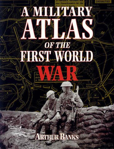
A comprehensive atlas based on the Arthur Banks atlas first published in 1975. The maps in the original were all painstakingly handdrawn in black and white, covering every aspect of the first truly global war. The book covers the main reasons why the major powers entered the conflict, the individual battles fought along the Western Front as well as in depth coverage of the war in the east of Europe. The War at sea is mapped in great detail, including the clashes at Dogger Bank and Jutland as well as the German submarine campaigns and the first major sea borne landing at Gallipoli. The First World War saw the first extensive use of air power, maps show the routes taken by the German Zeppelin raids on eastern England as well as the Allied strategic bombing effort at the end of the war.In Arthur Banks own words:I hope that the book will be a convenient reference work which deals with those areas where a more detailed examination in cartographical terms has long been demanded.
⚠️ WARNING (California Proposition 65):
This product may contain chemicals known to the State of California to cause cancer, birth defects, or other reproductive harm.
For more information, please visit www.P65Warnings.ca.gov.