
Title
An Introduction To Using GIS In Marine Biology: Supplementary Workbook One: Creating Maps Of Species Distribution (Psls),Used
Sold by Ergodebooks, an authorized reseller.
Returns accepted within 30 days | support@ergodebooks.com
Shipping Information
- Free Standard Shipping — United States only
- Processing Time: 3–5 business days
- Estimated Delivery: 6–10 business days after dispatch
- Double-boxed, fully insured & discreetly packaged
- Tracking number sent via email once dispatched
Returns & Refund
Returns accepted within 30 days of delivery.
Damaged or Defective Item
Free return shipping + replacement or full refund
Wrong Item Received
Free return shipping + replacement or full refund
Change of Mind
Return shipping at customer's expense · 25% restocking fee applies
Payment Option

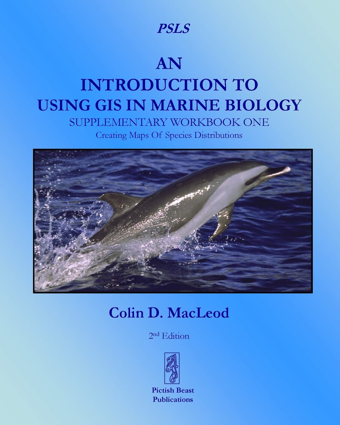
This is the first supplementary workbook produced to accompany 'An Introduction To Using GIS In Marine Biology' by the same author. It is designed to augment the information on using GIS in marine biology provided in that book, and indeed, to be used alongside it rather than to be used independently as a standalone volume.This second edition has been updated for ArcGIS 10.1 software and it contains five exercises covering the practical use of GIS in marine biology. These exercises are based around mapping species distribution and range from making a simple map of the locations where a species has been recorded to creating grids of species presenceabsence, species richness and abundance.Working through these five exercises will help the novice GIS user obtain experience in working with GIS and so develop their GIS skills. Unlike most other GIS tutorials, this information is specifically presented in a marine biological context and all the exercises use real data from a marine biological study. Therefore, these exercises are more likely to provide the kind of experience in using GIS that marine biologists will find useful and applicable to their own research.These exercises are presented in the same easytofollow flow diagrambased format first introduced in the 'How To...' section of 'An Introduction To Using GIS In Marine Biology'. They are accompanied by images which show the user how their GIS project should look as they progress through the exercises, allowing them to compare their own work to the expected results.This is part of the PSLS series of books which use TaskOriented Learning (TOL) to teach the practical application of research skills to the life sciences. This involves demonstrating how these skills can be used in the specific circumstances in which they are likely to be required rather than concentrating on teaching theoretical frameworks or on teaching skills in a generic or abstract manner. By seeing how the similar processes are used to achieve a variety of different goals within a specific field, it becomes easier for the reader to identify the general rules behind the practical application of these processes and, therefore, to transfer them to novel situations they may encounter in the future.Table Of Contents:Preface1. Introduction2. How To Use The ArcGIS 10.2 Software User Interface .3. Exercise One: Creating A Map Of Species Distribution For A Publication.4. Exercise Two: Creating A PresenceAbsence Raster Data Layer For A Species From Survey Data.5. Exercise Three: Creating A Species Richness Raster Data Layer From Survey Data.6. Exercise Four: Creating A Polygon Grid Data Layer Of Abundance Per Unit Effort From Survey Data.7. Exercise Five: Creating A Polygon Grid Data Layer Of Species Richness Per Unit Effort From Survey Data.
⚠️ WARNING (California Proposition 65):
This product may contain chemicals known to the State of California to cause cancer, birth defects, or other reproductive harm.
For more information, please visit www.P65Warnings.ca.gov.