
Title

Ancient Landscapes Of The Colorado Plateau
Sold by Ergodebooks, an authorized reseller.
Returns accepted within 30 days | support@ergodebooks.com
Shipping Information
- Free Standard Shipping — United States only
- Processing Time: 3–5 business days
- Estimated Delivery: 6–10 business days after dispatch
- Double-boxed, fully insured & discreetly packaged
- Tracking number sent via email once dispatched
Returns & Refund
Returns accepted within 30 days of delivery.
Damaged or Defective Item
Free return shipping + replacement or full refund
Wrong Item Received
Free return shipping + replacement or full refund
Change of Mind
Return shipping at customer's expense · 25% restocking fee applies
Payment Option

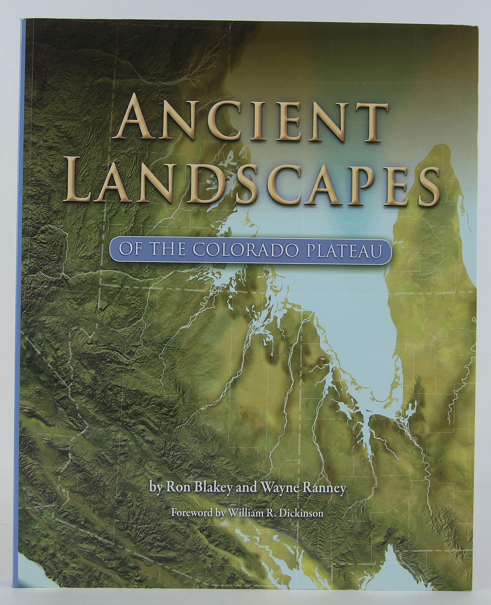
Imagine Seeing The Varied Landscapes Of The Earth As They Used To Look Throughout Hundreds Of Millions Of Years Of Earth History. Tropical Seas Lap On The Shores Of An Arizona Beach. Immense Sand Dunes Shift And Swirl In Saharalike Deserts In Utah And New Mexico. Ancient Rivers Spill From A Mountain Range In Colorado That Was A Precursor To The Modern Rockies. Such Flights Of Geologic Fancy Are Now Tangible Through The Thoughtprovoking And Beautiful Paleogeographic Maps, Reminiscent Of The Maps In World Atlases We All Paged Through As Children, Of Ancient Landscapes Of The Colorado Plateau. Ron Blakey Of Northern Arizona University Is One Of The Worlds Foremost Authorities On The Geologic History Of The Colorado Plateau. For More Than Fifteen Years, He Has Meticulously Created Maps That Show How Numerous Past Landscapes Gave Rise To The Regions Stunning Geologic Formations. Ancient Landscapes Of The Colorado Plateau Is The First Book To Showcase Blakeys Remarkable Work. His Maps Are Accompanied By Text By Wayne Ranney, Geologist And Awardwinning Author Of Carving Grand Canyon. Ranney Takes Readers On A Fascinating Tour Of The Many Landscapes Depicted In The Maps, And Blakey And Ranneys Fruitful Collaboration Brings The Past Alive Like Never Before.Features:More Than 70 Stateoftheart Paleogeographic Maps Of The Region And Of The World, Developed Over Many Years Of Geologic Researchdetailed Yet Accessible Text That Covers The Geology Of The Plateau In A Way Nongeologists Can Appreciatemore Than 100 Fullcolor Photographs, Diagrams, And Illustrationsa Detailed Guide Of Where To Go To See The Spectacular Rocks Of The Region
⚠️ WARNING (California Proposition 65):
This product may contain chemicals known to the State of California to cause cancer, birth defects, or other reproductive harm.
For more information, please visit www.P65Warnings.ca.gov.
- Q: What is the page count of this book? A: This book has one hundred fifty-six pages. It features a combination of paleogeographic maps and detailed geological descriptions.
- Q: What are the dimensions of the book? A: The book measures nine point zero two inches in length, zero point six inches in width, and twelve point zero one inches in height.
- Q: What type of binding does this book have? A: This book is a paperback. The binding ensures it's lightweight and easy to handle.
- Q: Who is the author of this book? A: The author of this book is Ron Blakey. He is a renowned expert on the geologic history of the Colorado Plateau.
- Q: What genre does this book belong to? A: This book falls under the genre of geology. It explores the ancient landscapes and geological formations of the Colorado Plateau.
- Q: How do I use the maps provided in the book? A: You can use the maps as educational tools to understand geological history. They are also great for planning trips to view the landscapes.
- Q: Is this book suitable for beginners in geology? A: Yes, this book is suitable for beginners. The text is detailed yet accessible for non-geologists.
- Q: Can I use this book for academic purposes? A: Yes, this book is appropriate for academic studies. It provides valuable insights into geological history and paleogeographic mapping.
- Q: What should I do to keep the book in good condition? A: To keep the book in good condition, store it in a cool, dry place away from direct sunlight, and handle it gently.
- Q: Are there any specific care instructions for this book? A: Yes, avoid bending the spine and keep it away from moisture. This will help preserve the quality of the pages and binding.
- Q: What if the book arrives damaged? A: If the book arrives damaged, you should contact the seller immediately for a return or exchange. Make sure to keep the original packaging.
- Q: Is there a warranty for this book? A: No, this book does not typically come with a warranty. However, check with the retailer for their specific return policy.
- Q: How can I find specific landscapes featured in the book? A: You can find specific landscapes by referring to the detailed guide included in the book. It outlines where to see the featured geological formations.
- Q: Does this book include photographs and illustrations? A: Yes, the book includes more than one hundred full-color photographs, diagrams, and illustrations that enhance the text.
- Q: Is this book appropriate for children? A: While the book is not specifically targeted at children, the accessible text may engage older children interested in geology.
- Q: What makes this book unique? A: This book is unique because it showcases Ron Blakey's paleogeographic maps, combining scientific research with beautiful visual representations.