If you have any questions, you are always welcome to contact us. We'll get back to you as soon as possible, withing 24 hours on weekdays.
Customer service
All questions about your order, return and delivery must be sent to our customer service team by e-mail at yourstore@yourdomain.com
Sale & Press
If you are interested in selling our products, need more information about our brand or wish to make a collaboration, please contact us at press@yourdomain.com
Help
If you have any questions, you are always welcome to contact us. We'll get back to you as soon as possible, withing 24 hours on weekdays.
Customer service
All questions about your order, return and delivery must be sent to our customer service team by e-mail at yourstore@yourdomain.com
Sale & Press
If you are interested in selling our products, need more information about our brand or wish to make a collaboration, please contact us at press@yourdomain.com
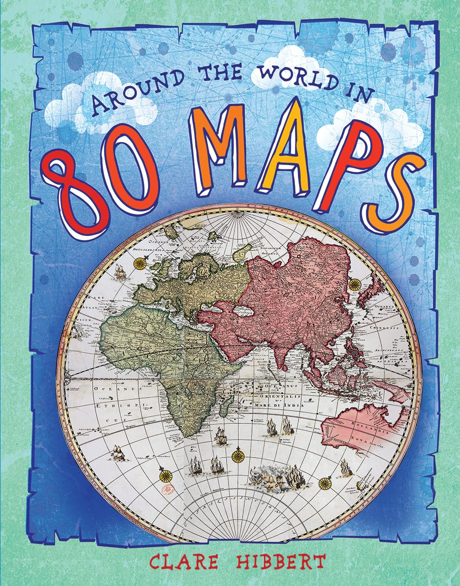
An eyeopening journey that will broaden children's knowledge about the world.The British Library has one of the largest collections of maps, plans and topographical views in the world, numbering some 4.5 million and with a chronological spread of over 2,000 years. This book compiles eighty maps to take readers on a fabulous journey around the globe. With a nod to Jules Verne's Around the World in 80 Days, the trip starts and ends in London, crossing the oceans and stopping at some of the world's most fascinating places.Maps are marvelous documents. Not only colorful and revealing, they are a record of a place at a particular time. Here, the maps exploit children's preferences for visuals while educating and entertaining.There are details to pore over as well as stories about how and why these maps were made and by whom. Concise and informative text explores each place in more depth, revealing its history, famous people, landmarks, wildlife, culture and customs. Helpful fact files provide ataglance information to broaden geographical knowledge.Maps include:World, 1623 Europe, 1851 Corsica, 1489 Venice, 1720 Zurich (aerial), 1576 Moscow, 1575 Egypt, 1600's Istanbul, 1422 California, 1777 St. Louis (aerial), 1764 Virginia, 1590 Arctic, 1595.Children will enjoy browsing the maps, learning along the way and sparking interest in the world and dreams of adventures. An ideal gift book.
⚠️ WARNING (California Proposition 65):
This product may contain chemicals known to the State of California to cause cancer,
birth defects, or other reproductive harm.
For MAP (Minimum Advertised Price) violations and Intellectual Property (IP) or Trademark concerns, please contact:
support@ergodebooks.com
⚠️ California Proposition 65 Warning: Some products sold on this website may expose you to chemicals known to the State of California to cause cancer, birth defects, or other reproductive harm. For more information, visit www.P65Warnings.ca.gov.