
Title
Atlas of Great Lakes Indian History (Volume 174) (The Civilization of the American Indian Series),New
Sold by Ergodebooks, an authorized reseller.
Returns accepted within 30 days | support@ergodebooks.com
Shipping Information
- Free Standard Shipping — United States only
- Processing Time: 3–5 business days
- Estimated Delivery: 6–10 business days after dispatch
- Double-boxed, fully insured & discreetly packaged
- Tracking number sent via email once dispatched
Returns & Refund
Returns accepted within 30 days of delivery.
Damaged or Defective Item
Free return shipping + replacement or full refund
Wrong Item Received
Free return shipping + replacement or full refund
Change of Mind
Return shipping at customer's expense · 25% restocking fee applies
Payment Option

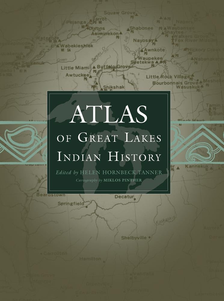
The Indian history of the Great Lakes region of the United States and Canada, and particularly of the Ohio Valley, is so complex that it can be properly clarified only with the visual aid of maps. The Atlas of Great Lakes Indian History, in a sequence of thirtythree newly researched maps printed in as many as five colors, graphically displays the movement of Indian communities from 1640 to about 1871, when treaty making between Indian tribes and the United States government came to an end.History was shaped in this part of North America by intertribal warfare, refugee movements, epidemics of Europeanintroduced diseases, French and English wars and trade rivalry, white population advances, Indian resistance, Indian treaties deeding land to state and national governments, and imperfect arrangements for reservations, removal, and allotment of land. The changing pattern of Indian village locations as a result of all these factors is shown on the maps. Each map is highlighted by accompanying text, written as if the author were pointing out specific places on the map. Eightyone illustrations convey a realistic impression of the land and its people.
⚠️ WARNING (California Proposition 65):
This product may contain chemicals known to the State of California to cause cancer, birth defects, or other reproductive harm.
For more information, please visit www.P65Warnings.ca.gov.