
Title

Charting Louisiana: Five Hundred Years of Maps,Used
Sold by Ergodebooks, an authorized reseller.
Returns accepted within 30 days | support@ergodebooks.com
Shipping Information
- Free Standard Shipping — United States only
- Processing Time: 3–5 business days
- Estimated Delivery: 6–10 business days after dispatch
- Double-boxed, fully insured & discreetly packaged
- Tracking number sent via email once dispatched
Returns & Refund
Returns accepted within 30 days of delivery.
Damaged or Defective Item
Free return shipping + replacement or full refund
Wrong Item Received
Free return shipping + replacement or full refund
Change of Mind
Return shipping at customer's expense · 25% restocking fee applies
Payment Option

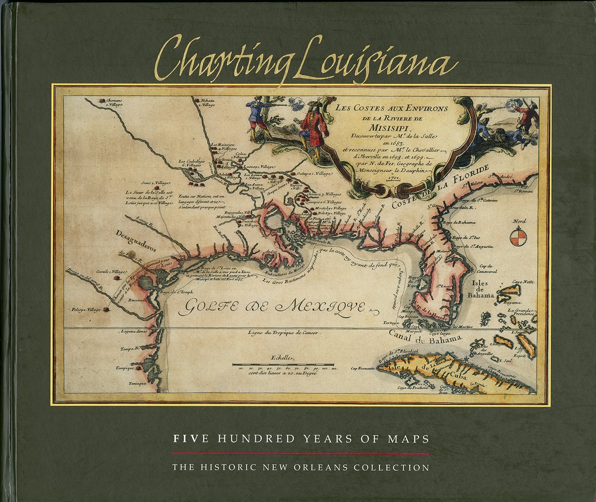
Winner of the Louisiana Endowment for the Humanities 2004 Humanities Book of the Year Award, the Louisiana Library Associations 2004 Louisiana Literary Award, and the Gulf South Historical Associations 2004 Best Book on the Gulf South Award.The name Louisiana has always held a special allure, calling forth images of a rich colonial past, a land filled with exotic flora and fauna, and a territory that once extended across stretches of North America. Tracing the discovery, colonization, and development of the region, Charting Louisiana: Five Hundred Years of Maps relates the epic history of Louisiana. From the earliest appearance of the Gulf Coast on a 16thcentury woodcut to a colorenhanced satellite view of the state, the atlas presents an extraordinary gathering of 193 manuscripts and printed maps (all fullcolor plates), many of them rarely made available to the public. Six essays lead the reader across the historical panorama of Louisiana as found in its cartography.Distributed for The Historic New Orleans Collection
⚠️ WARNING (California Proposition 65):
This product may contain chemicals known to the State of California to cause cancer, birth defects, or other reproductive harm.
For more information, please visit www.P65Warnings.ca.gov.