
Title


Children'S Illustrated Atlas
Sold by Ergodebooks, an authorized reseller.
Returns accepted within 30 days | support@ergodebooks.com
Shipping Information
- Free Standard Shipping — United States only
- Processing Time: 3–5 business days
- Estimated Delivery: 6–10 business days after dispatch
- Double-boxed, fully insured & discreetly packaged
- Tracking number sent via email once dispatched
Returns & Refund
Returns accepted within 30 days of delivery.
Damaged or Defective Item
Free return shipping + replacement or full refund
Wrong Item Received
Free return shipping + replacement or full refund
Change of Mind
Return shipping at customer's expense · 25% restocking fee applies
Payment Option

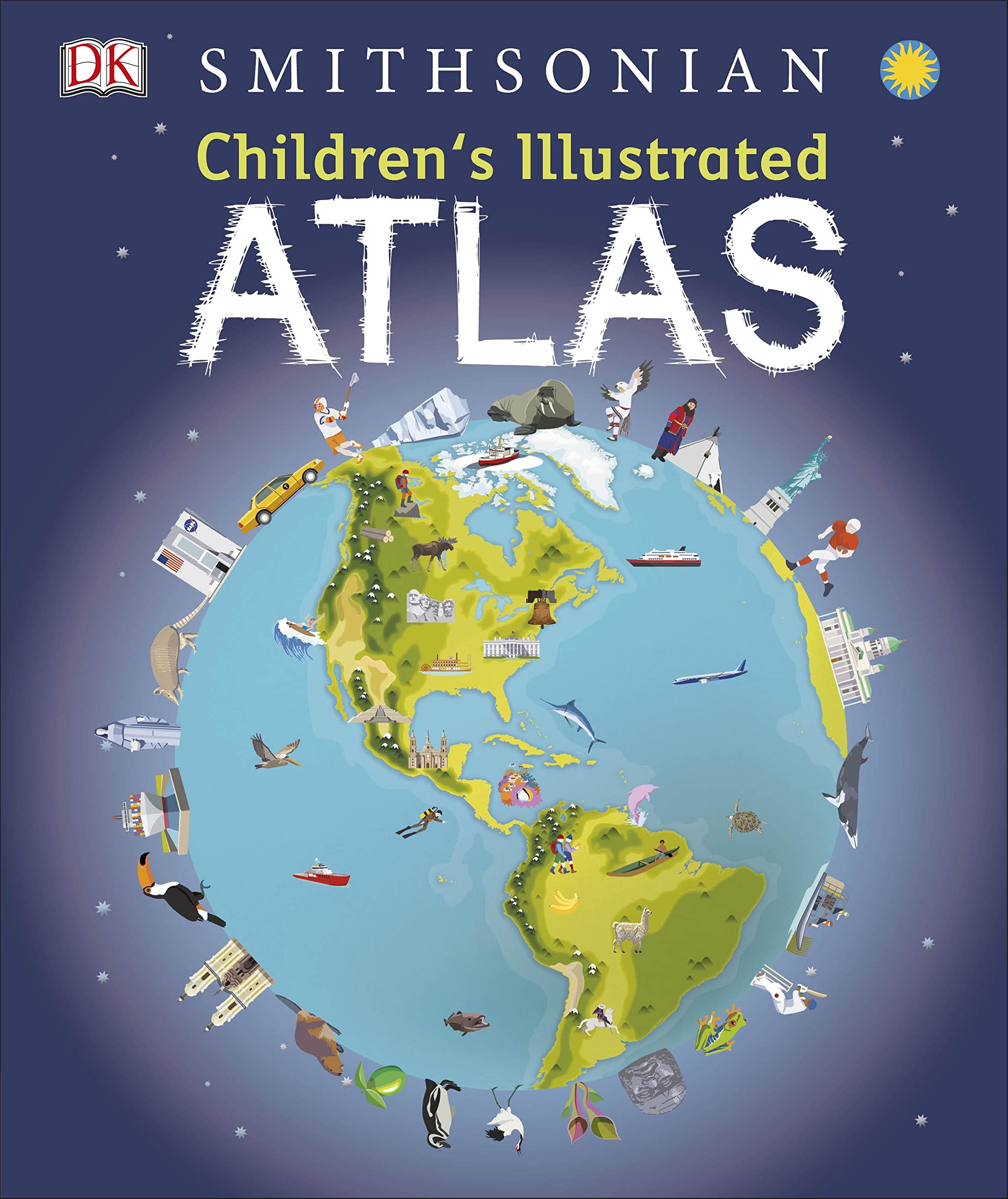
A Picture Atlas That Takes Young Readers On A Visual Journey Around The World, From Spain And Portugal To China And Mongolia.Continents And Countries Are Brought To Life Through Stunning Photography And Eyecatching Illustrations. Uncover Incredible Geographical Features, Wildlife, Culture, History, And Landmarks In Unprecedented Detail.This Incredible And Inspiring Visual Atlas Takes You On A Factfilled, Continentbycontinent Tour Of The World. Throughout The Pages Of This Adventure Book, Youll Discover More Than 50 Fascinating Maps Packed With Fun Facts And Fresh Images. Your Child Will Learn All About The Climate, Populations, Places, And Industries Of Our World.Picture Stories Complement The Maps, From The Giant Amazon River Flowing Through The Rainforest To The Frozen Icebergs Of The Glacial Arctic. Discover The Richness And Diversity Of Human And Animal Life Around The Globe. Each Map Shows Countries With Their Capitals, Famous Landmarks, Longest Rivers, And Highest Mountains.This Educational Book Is More Than An Atlas! It Also Shows Young Explorers How To Read A Map And Use A Key, Compass, And Scale. Its The Ideal Resource For Classroom Use, Home Learning, And Armchair Exploration.The Ultimate Roundtheworld Trip.Children'S Illustrated Atlas Is The Perfect Reference Book For Kids To Learn About Lands Close To Home Or Oceans Far Away! Its Also A Fantastic Gift For Children With An Interest In The World Around Them And A Taste For Adventure.Without Even Leaving Your Home, This Childrens Atlas Book Allows You To: Explore More Than 50 Stunning World Maps And Incredible Geographical Features. Learn How To Read A Map And Use A Key, Compass, And Scale. Travel The World'S Cities And Landmarks Through Beautiful Photography And Illustrations. Dive Into Intriguing Facts About The World'S Population.Complete The Series:Charming And Informative, The Children'S Illustrated Atlas Series From Dk Books Is A Delightful Addition To Every Child'S Library. Bring The Amazing World Of Wildlife Right Into Your Home With The Children'S Illustrated Animal Atlas And Reach Into The Past With The Children'S Illustrated History Atlas.
⚠️ WARNING (California Proposition 65):
This product may contain chemicals known to the State of California to cause cancer, birth defects, or other reproductive harm.
For more information, please visit www.P65Warnings.ca.gov.
- Q: What are the dimensions of the Children's Illustrated Atlas? A: The book measures ten point twenty-five inches in length, zero point sixty-three inches in width, and twelve point thirteen inches in height.
- Q: How many pages does the Children's Illustrated Atlas have? A: The atlas contains one hundred twenty-eight pages filled with captivating maps and illustrations.
- Q: What type of binding does the Children's Illustrated Atlas have? A: The book features a hardcover binding, providing durability for young readers.
- Q: What age group is the Children's Illustrated Atlas suitable for? A: The atlas is designed for children, making it suitable for young readers interested in geography.
- Q: How can children use the maps in the Children's Illustrated Atlas? A: Children can explore more than fifty maps, learn to read them, and discover key geographical features.
- Q: Is the Children's Illustrated Atlas suitable for classroom use? A: Yes, this atlas is ideal for classroom use, offering an educational resource for teachers and students.
- Q: How should I clean the Children's Illustrated Atlas? A: To keep the atlas in good condition, wipe the cover gently with a dry cloth to remove dust.
- Q: Can the Children's Illustrated Atlas be used as a gift? A: Yes, it makes a fantastic gift for children with an interest in adventure and the world.
- Q: What is the best way to store the Children's Illustrated Atlas? A: Store the atlas upright on a shelf to prevent bending and ensure it stays in good condition.
- Q: How does the Children's Illustrated Atlas compare to other atlases for kids? A: This atlas stands out with its stunning photography and engaging illustrations that bring geography to life.
- Q: What features make the Children's Illustrated Atlas unique? A: It includes over fifty maps, picture stories, and educational tools for learning about geography.
- Q: Is the Children's Illustrated Atlas a good resource for home learning? A: Yes, it is an excellent resource for home learning, helping children explore the world from home.
- Q: What if I receive a damaged Children's Illustrated Atlas? A: If the atlas arrives damaged, you should contact customer service for assistance with returns or exchanges.
- Q: Does the Children's Illustrated Atlas contain any hazardous materials? A: No, the atlas does not contain any hazardous materials, making it safe for children.
- Q: What topics are covered in the Children's Illustrated Atlas? A: The atlas covers geography, wildlife, culture, history, and landmarks from around the world.
- Q: Can the Children's Illustrated Atlas help with map reading skills? A: Yes, it teaches young readers how to read maps, use keys, compasses, and scales effectively.