
Title
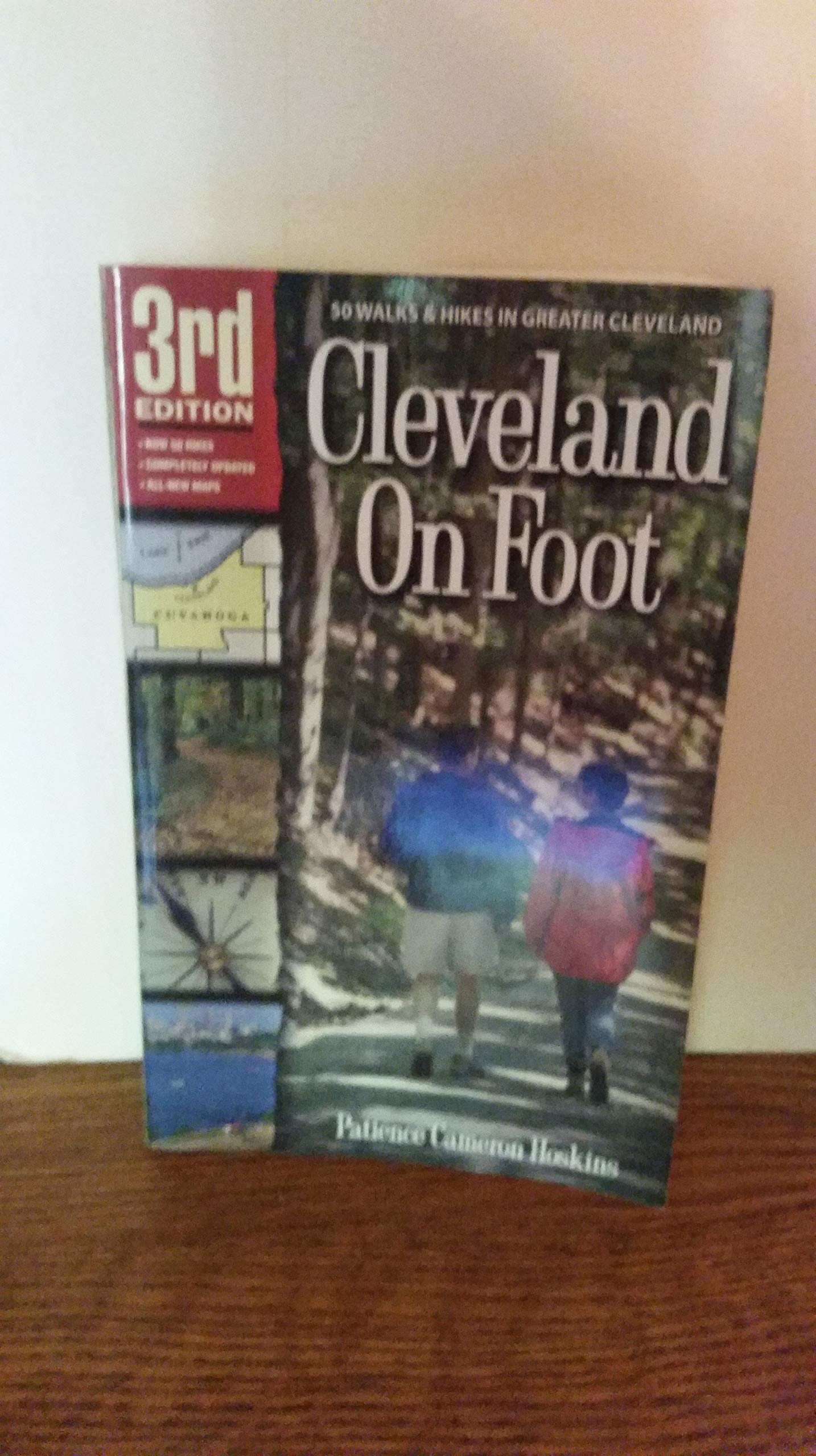
Cleveland On Foot 3rd Edition,Used
Sold by Ergodebooks, an authorized reseller.
Returns accepted within 30 days | support@ergodebooks.com
Shipping Information
- Free Standard Shipping — United States only
- Processing Time: 3–5 business days
- Estimated Delivery: 6–10 business days after dispatch
- Double-boxed, fully insured & discreetly packaged
- Tracking number sent via email once dispatched
Returns & Refund
Returns accepted within 30 days of delivery.
Damaged or Defective Item
Free return shipping + replacement or full refund
Wrong Item Received
Free return shipping + replacement or full refund
Change of Mind
Return shipping at customer's expense · 25% restocking fee applies
Payment Option

: Do not stray too close to the edge of this cliff. Erosion here has created uneven footing and unstable soil.5.(0.8 mile). As you pass the Bridle Trail sign (hanging by one bolt at this writing!), turn right toward Tinkers Creek gorge and continue on the trail. The road on the left is the north portion of Button Rd., which no longer connects to the southern part. Button Rd. is of interest because it is one of the oldest roads in northern Ohio. It was laid out in 1801 and enabled early settlers living in the highlands to the east of here to reach the Ohio & Erie Canal lying to the west.6.Continue on this flat, winding, woodland path high above Tinkers Creek. Several short side trails veer over closer to the cliff edge, but always return to the main trail. (Use CAUTION if you take these side paths for more views of the gorge below.) At about 1.2 miles the trail begins a gradual descent.7.Reach a trail intersection after another 0.2 mile. Turn right (east) toward the gorge. In another 0.1 mile reach the top of a small hill and another beautiful view of the gorge. Step to the edge for another view amidst the hemlocks.This is the turnaround point for this hike. Beyond this point, the former trail is closed due to neglect and is barely used. You will return to Hemlock Creek Picnic Area by following the trail in reverse.This chapter was reviewed and rewalked by Jim Sprague, statewide trail coordinator of the Buckeye Trail Association.Copyright Patience Cameron. All rights reserved. This text may not be reproduced in any form or manner without written permission of Gray & Company, Publishers
⚠️ WARNING (California Proposition 65):
This product may contain chemicals known to the State of California to cause cancer, birth defects, or other reproductive harm.
For more information, please visit www.P65Warnings.ca.gov.