
Title
Collins Primary World Atlas,Used
Sold by Ergodebooks, an authorized reseller.
Returns accepted within 30 days | support@ergodebooks.com
Shipping Information
- Free Standard Shipping — United States only
- Processing Time: 3–5 business days
- Estimated Delivery: 6–10 business days after dispatch
- Double-boxed, fully insured & discreetly packaged
- Tracking number sent via email once dispatched
Returns & Refund
Returns accepted within 30 days of delivery.
Damaged or Defective Item
Free return shipping + replacement or full refund
Wrong Item Received
Free return shipping + replacement or full refund
Change of Mind
Return shipping at customer's expense · 25% restocking fee applies
Payment Option

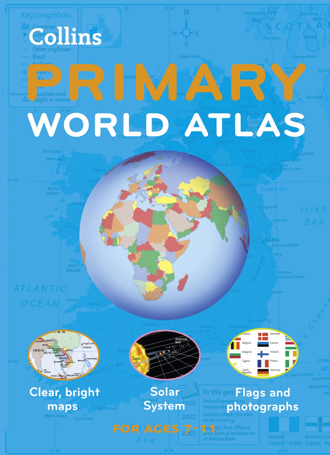
Designed For Use In The Classroom Or At Home, This Revised Edition Includes Informative, Politically Colored Reference Mapping Of All Major World Regionsproviding An Introduction To Mapping Of All Major Regions Of The World, This Atlas Includes Information On Map Reading Skills, The Meaning Of Scale, And Measuring Distances. The Reference Maps Are Easy To Read With National Capitals And Major Cities Easily Identifiable, And Are Supported With National Flags And Basic National Statistics. Continental Maps Are Linked To The Regional Mapping And Are Supported By A Selection Of Satellite, Aerial, And Terrestrial Photographs. Continental Relief Maps Show Layer Coloring, And Major Physical Features Are Highlighted. The Index Uses A Simple Grid Reference System And A Selection Of Web Addresses Is Included To Help With Further Study. A Full Range Of Interactive Flip Charts To Support This Atlas Are Available As Downloadable Files. These Charts Are Easy To Use And Allow Teachers And Learners To Further Develop Atlas Skills.
⚠️ WARNING (California Proposition 65):
This product may contain chemicals known to the State of California to cause cancer, birth defects, or other reproductive harm.
For more information, please visit www.P65Warnings.ca.gov.