If you have any questions, you are always welcome to contact us. We'll get back to you as soon as possible, withing 24 hours on weekdays.
Customer service
All questions about your order, return and delivery must be sent to our customer service team by e-mail at yourstore@yourdomain.com
Sale & Press
If you are interested in selling our products, need more information about our brand or wish to make a collaboration, please contact us at press@yourdomain.com
Help
If you have any questions, you are always welcome to contact us. We'll get back to you as soon as possible, withing 24 hours on weekdays.
Customer service
All questions about your order, return and delivery must be sent to our customer service team by e-mail at yourstore@yourdomain.com
Sale & Press
If you are interested in selling our products, need more information about our brand or wish to make a collaboration, please contact us at press@yourdomain.com
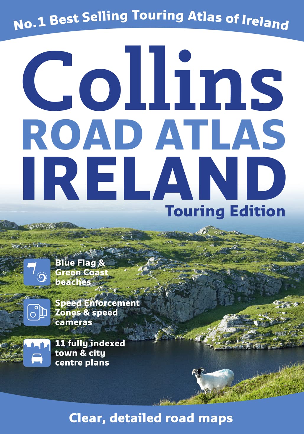
A wealth of tourist information, extremely clear and attractive mapping, and detailed town center plans make this an essential purchase for visitors With attractive road mapping of the whole of Ireland at a scale of 5.2 miles to 1 inch, these maps feature layer colors to show land height and have a wide range of places of tourist interest plotted. The revised atlas also includes fully indexed large scale town and city center street plans of Dublin, Belfast, Cork, Limerick, Londonderry (Derry), Galway, Bangor, Waterford, Dun Laoghaire, Drogheda, and Killarney. There is also a places of interest section with descriptions and photographs. Other features include a route planning map of the whole of Ireland at 15.8 miles to 1 inch; clearly marked locations of fixed speed cameras and speed enforcement zones; information on traveling in Ireland; tourist information centers referenced to the map, complete with addresses and telephone numbers; a distanc
⚠️ WARNING (California Proposition 65):
This product may contain chemicals known to the State of California to cause cancer,
birth defects, or other reproductive harm.
For MAP (Minimum Advertised Price) violations and Intellectual Property (IP) or Trademark concerns, please contact:
support@ergodebooks.com
⚠️ California Proposition 65 Warning: Some products sold on this website may expose you to chemicals known to the State of California to cause cancer, birth defects, or other reproductive harm. For more information, visit www.P65Warnings.ca.gov.