
Title
Concise Historical Atlas Of World War Two: The Geography Of Conflict
Sold by Ergodebooks, an authorized reseller.
Returns accepted within 30 days | support@ergodebooks.com
Shipping Information
- Free Standard Shipping — United States only
- Processing Time: 3–5 business days
- Estimated Delivery: 6–10 business days after dispatch
- Double-boxed, fully insured & discreetly packaged
- Tracking number sent via email once dispatched
Returns & Refund
Returns accepted within 30 days of delivery.
Damaged or Defective Item
Free return shipping + replacement or full refund
Wrong Item Received
Free return shipping + replacement or full refund
Change of Mind
Return shipping at customer's expense · 25% restocking fee applies
Payment Option

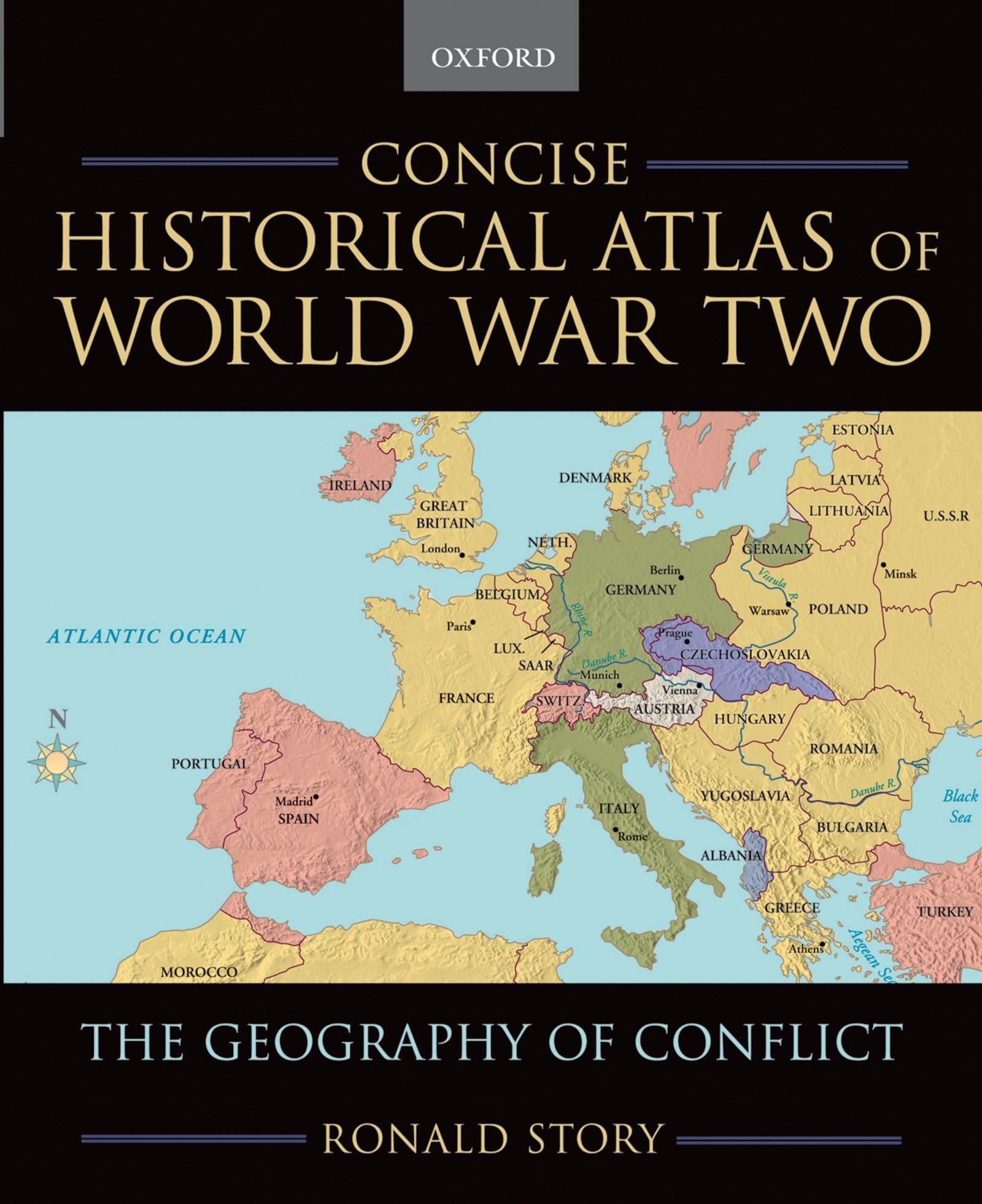
World War Two Was A War Of Rapid And Farreaching Conquest And Movement, And A Good Sense Of World Geography Is Essential To Grasping Its Magnitude And Sweep. The Concise Historical Atlas Of World War Two: The Geography Of Conflict Consists Of 50 Fullcolor Maps That Vividly Convey Not Only The Key Military Battles And Campaigns But Also The Cultural And Political Geography Of The War. Each Map Covers A Significant Phase Of World War Two And Is Accompanied By An Adjacent Page Of Explanatory Text That Clarifies The Shifting Frontiers And Populations Of The Region Represented. These Descriptions Explain Features Of The Conflict In Question, Describe Changes In Circumstances And The Movements Of Battles, Contextualize The Events, And Suggest Longerterm Consequences Of Campaigns. Offering A Vivid Summary Of The War Over Space And Time, This Unique, Fullcolor Atlas Covers All Theatres Of The War. It Is Ideal For Courses On World War Two, American And European History In The Twentieth Century, U.S. Political And Military History, And World History. It Is Also A Fascinating Resource For Anyone Interested In The Sprawling Landscape Of The Second World War.
⚠️ WARNING (California Proposition 65):
This product may contain chemicals known to the State of California to cause cancer, birth defects, or other reproductive harm.
For more information, please visit www.P65Warnings.ca.gov.
- Q: How many pages does the book have? A: This book has one hundred nineteen pages. It provides a concise overview of World War Two through maps and descriptive text.
- Q: What are the dimensions of the atlas? A: The atlas measures seven point five two inches in length, nine point one eight inches in height, and zero point two eight inches in width. These dimensions make it a compact and portable resource.
- Q: What type of binding does this atlas have? A: The atlas is paperback bound. This type of binding is flexible and allows for easy handling and storage.
- Q: Who is the author of the atlas? A: The author of this atlas is Ronald Story. He presents a detailed geographical perspective on World War Two.
- Q: What is the main focus of the atlas? A: The main focus of the atlas is the geography of World War Two. It uses maps to illustrate significant battles and political changes during the conflict.
- Q: How can I use this atlas for studying? A: You can use this atlas as a visual aid for understanding World War Two. Each map is accompanied by explanatory text that contextualizes the military events.
- Q: Is this book suitable for all ages? A: Yes, this book is suitable for a general audience, including students and history enthusiasts. Its content is educational and informative.
- Q: What types of courses is this atlas ideal for? A: This atlas is ideal for courses on World War Two, American and European history, and world history. It offers a comprehensive view of the conflict.
- Q: How should I store the atlas to keep it in good condition? A: Store the atlas in a cool, dry place to prevent any damage. Keeping it upright on a shelf can help maintain its shape.
- Q: Can I clean the atlas if it gets dirty? A: Yes, you can gently wipe the cover with a soft, dry cloth. Avoid using water or cleaning solutions to prevent damage.
- Q: What if I receive a damaged copy of the atlas? A: If you receive a damaged copy, contact the retailer for a return or exchange. Most retailers have policies in place for such issues.
- Q: How does this atlas compare to other history books? A: This atlas uniquely combines maps with descriptive text, offering a visual representation of World War Two. It differs from traditional history books that may focus solely on textual narratives.
- Q: Is the atlas focused on specific battles or the entire war? A: The atlas covers significant phases of the entire war. It provides insights into multiple battles and their geographical impacts.
- Q: What features make this atlas unique? A: The atlas contains fifty full-color maps that illustrate not just battles, but also cultural and political changes during World War Two. This comprehensive approach enhances understanding.
- Q: Where is this atlas published? A: This atlas is published by Oxford University Press, USA. The publisher is known for high-quality educational resources.