
Title
Cornwall Coast Path: SouthWest Coast Path Part 2 Includes 142 LargeScale Walking Maps & Guides to 81 Towns and Villages Plan,Used
Sold by Ergodebooks, an authorized reseller.
Returns accepted within 30 days | support@ergodebooks.com
Shipping Information
- Free Standard Shipping — United States only
- Processing Time: 3–5 business days
- Estimated Delivery: 6–10 business days after dispatch
- Double-boxed, fully insured & discreetly packaged
- Tracking number sent via email once dispatched
Returns & Refund
Returns accepted within 30 days of delivery.
Damaged or Defective Item
Free return shipping + replacement or full refund
Wrong Item Received
Free return shipping + replacement or full refund
Change of Mind
Return shipping at customer's expense · 25% restocking fee applies
Payment Option

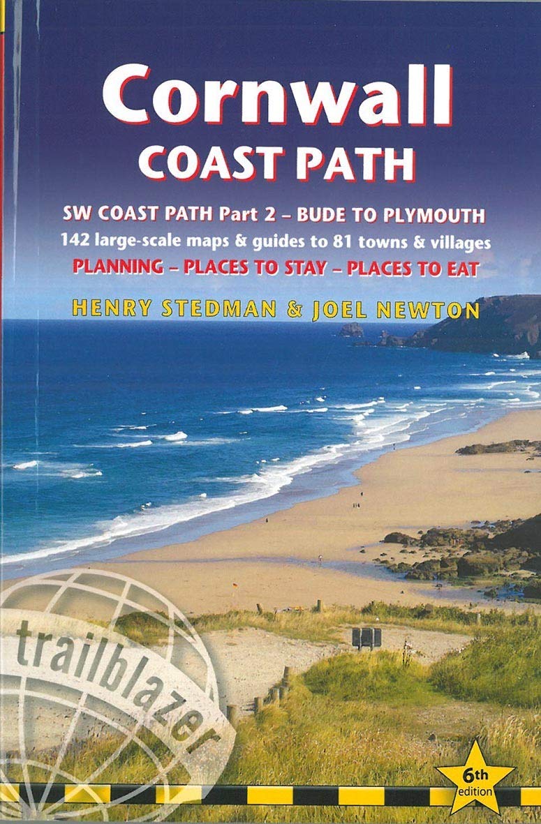
Allinone hiking route guide, maps and accommodations for the 288mile footpath that runs around the entire coastline of Cornwall: from Bude to Plymouth. Part 2 of the South West Coast Path, a 630mile national trail from Minehead to Poole. Includes 142 largescale maps (3 1/8 inches to 1 mile); 24 town plans and 16 overview maps. Full details of all accommodations and campsites, restaurants and pubs; plus full public transport information. Includes daywalks.This second part of the South West Coast Path around the southwestern tip of Britain includes some of the best coastal walking in Europe. With constantly changing scenery, the footpath takes in secluded coves, tiny fishing villages, rocky headlands, bustling resorts, wooded estuaries and golden surfwashed beaches. It is an area rich in wildlife with seabirds, wild flowers, dolphins and seals. 24 town plans, 16 overview maps and 142 largescale walking maps at just under 1:20,000 showing route times, places to stay, places to eat, points of interest and much more. These are not generalpurpose maps but fullyedited maps drawn by walkers for walkers. Itineraries for all walkers whether walking the route in its entirety over a week to 10 days or sampling the highlights on day walks and short breaks Practical information for all budgets camping, bunkhouses, hostels, B&Bs, pubs and hotels; where to stay, where to eat, what to see, plus detailed street plans Comprehensive public transport information for all access points on the coast path Flora and fauna four page full color flower guide, plus an illustrated section on local wildlife Green hiking understanding the local environment and minimizing our impact on it Includes downloadable gps waypoints Plus extra colour sections: 16pp colour introduction and 16pp of colour mapping for stage sections (one stage per page) with trail profiles.
⚠️ WARNING (California Proposition 65):
This product may contain chemicals known to the State of California to cause cancer, birth defects, or other reproductive harm.
For more information, please visit www.P65Warnings.ca.gov.