
Title
DeLorme Atlas & Gazetteer - North Carolina Map Book for Outdoor Adventures
Sold by Ergodebooks, an authorized reseller.
Returns accepted within 30 days | support@ergodebooks.com
Shipping Information
- Free Standard Shipping — United States only
- Processing Time: 3–5 business days
- Estimated Delivery: 6–10 business days after dispatch
- Double-boxed, fully insured & discreetly packaged
- Tracking number sent via email once dispatched
Returns & Refund
Returns accepted within 30 days of delivery.
Damaged or Defective Item
Free return shipping + replacement or full refund
Wrong Item Received
Free return shipping + replacement or full refund
Change of Mind
Return shipping at customer's expense · 25% restocking fee applies
Payment Option

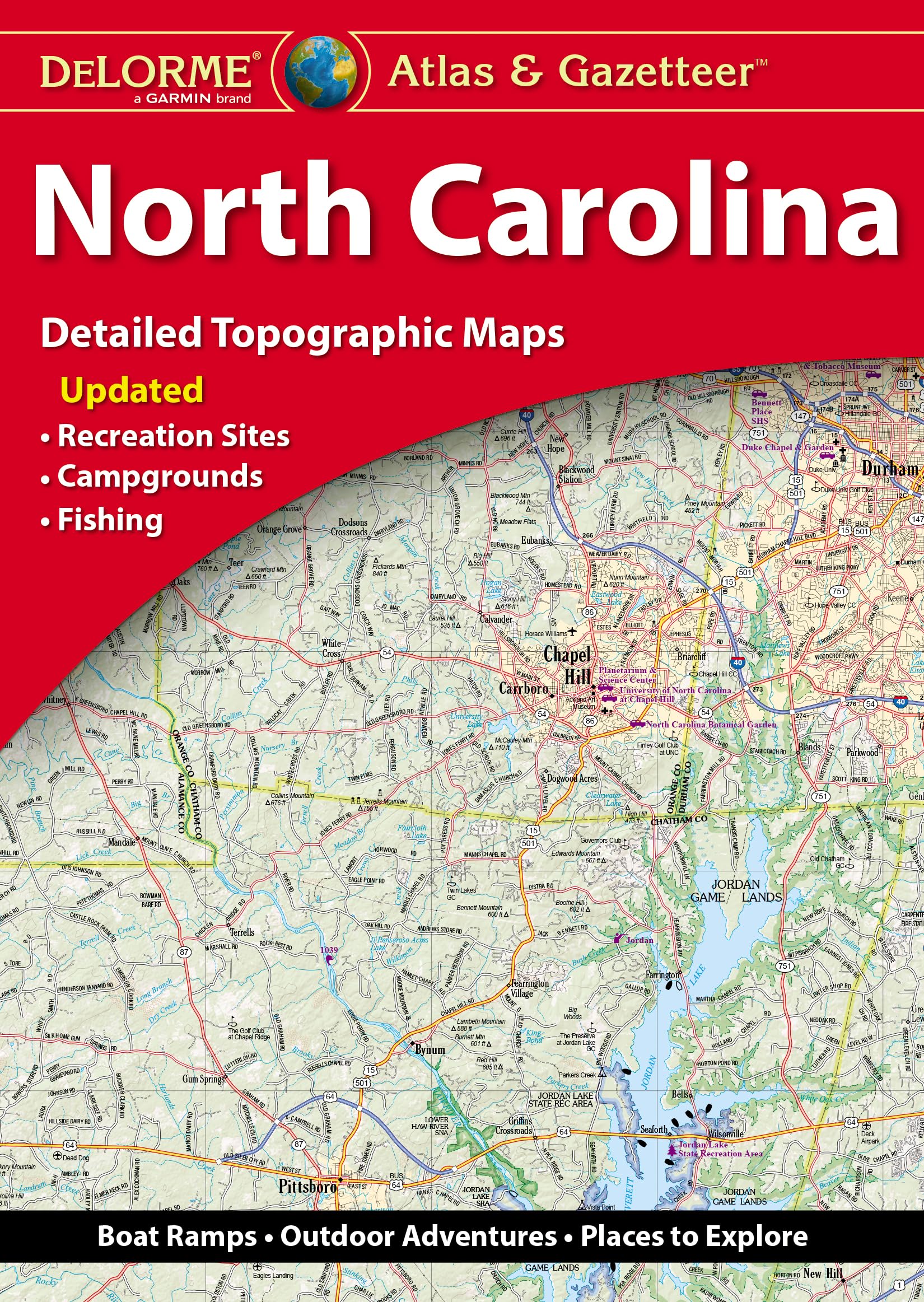
The DeLorme Atlas & Gazetteer is an essential navigation tool designed for exploring the vast and scenic landscapes of North Carolina. This detailed atlas provides comprehensive topographic maps, making it an invaluable resource for outdoor enthusiasts, travelers, and anyone seeking to discover the beauty of North Carolina's backcountry.
This atlas features full-color, extensively indexed topographic maps that highlight various points of interest, including cities, towns, historic sites, scenic drives, recreation areas, trailheads, boat ramps, and prime fishing spots. The convenient book format allows easy access to the information you need while on the go. With dimensions of 15.5 x 11, it is designed for practicality and usability in outdoor settings. The atlas is available for all 50 states, making it a versatile addition to any adventurer's toolkit.
Key Features:- Full-color topographic maps that provide detailed information on cities, towns, and natural landmarks.
- Extensively indexed for quick reference and easy navigation.
- Handy latitude/longitude overlay grid on each map to facilitate GPS navigation.
- Inset maps available for major cities and all state lands for comprehensive coverage.
- Copyright 2022 ensures the content is up-to-date and reliable.
- Convenient book format for easy transport and accessibility in the field.
The DeLorme Atlas & Gazetteer is ideal for hikers, campers, and outdoor enthusiasts looking to explore North Carolina's diverse landscapes. Its detailed maps and practical features provide a reliable navigation resource for both seasoned adventurers and casual travelers. With this atlas, you can confidently navigate the backcountry, discover hidden gems, and enjoy the natural beauty that North Carolina has to offer.
⚠️ WARNING (California Proposition 65):
This product may contain chemicals known to the State of California to cause cancer, birth defects, or other reproductive harm.
For more information, please visit www.P65Warnings.ca.gov.
- Q: What are the dimensions of the DeLorme Atlas & Gazetteer North Carolina? A: The dimensions are fifteen and a half inches by eleven inches. This size makes it easy to handle while providing detailed maps.
- Q: How many pages does the atlas contain? A: The atlas contains eighty-eight pages. These pages are filled with comprehensive maps and guides for exploring North Carolina.
- Q: What type of binding does this atlas have? A: The binding is paperback. This makes it lightweight and easy to carry during your travels.
- Q: Is this atlas suitable for GPS navigation? A: Yes, it includes a handy latitude and longitude overlay grid. This feature allows you to navigate using GPS devices.
- Q: Are there inset maps for major cities? A: Yes, inset maps are provided for major cities and all state lands. This helps in locating key areas quickly.
- Q: What information can I find in the topographic maps? A: The topographic maps provide details on cities, towns, historic sites, scenic drives, and recreation areas. They also include trailheads, boat ramps, and prime fishing spots.
- Q: How can I use the atlas to explore North Carolina? A: You can use the atlas to plan your trips by identifying scenic drives and recreation areas. It serves as a comprehensive guide to navigate the backcountry.
- Q: Is this atlas suitable for beginners in outdoor exploration? A: Yes, it is suitable for beginners. The detailed maps and extensive indexing make it easy to understand and use.
- Q: Can I use this atlas for hiking and fishing trips? A: Yes, it is perfect for hiking and fishing trips. The atlas highlights trailheads and prime fishing spots across North Carolina.
- Q: How should I store the atlas to keep it in good condition? A: Store the atlas in a cool, dry place. Keeping it away from direct sunlight will help preserve the maps and binding.
- Q: What do I do if the atlas arrives damaged? A: If it arrives damaged, contact customer support for return instructions. Most retailers will offer a replacement or refund.
- Q: Is this atlas indexed for easy navigation? A: Yes, it is extensively indexed. This allows for quick reference to specific locations and features.
- Q: What kind of outdoor activities does the atlas cover? A: The atlas covers a variety of outdoor activities including hiking, fishing, and scenic drives. You can find information on recreation areas as well.
- Q: Is the DeLorme Atlas & Gazetteer North Carolina suitable for all ages? A: Yes, it is suitable for all ages. The informative maps make it a great resource for families and outdoor enthusiasts.
- Q: What year was this atlas published? A: It was published in the year 2022. This ensures that the information is relatively up-to-date.
- Q: How does this atlas compare to digital maps? A: This atlas offers detailed topographic maps, which can be more reliable in remote areas where digital signals may be weak or unavailable.