
Delorme Atlas & Gazetteer Utah
$41.00
Title
Delorme Atlas & Gazetteer Utah
Free Standard Shipping Across USA
Quantity
Sold by Ergodebooks, an authorized reseller.
Returns accepted within 30 days | support@ergodebooks.com
Shipping Information
- Free Standard Shipping — United States only
- Processing Time: 3–5 business days
- Estimated Delivery: 6–10 business days after dispatch
- Double-boxed, fully insured & discreetly packaged
- Tracking number sent via email once dispatched
Returns & Refund
Returns accepted within 30 days of delivery.
Damaged or Defective Item
Free return shipping + replacement or full refund
Wrong Item Received
Free return shipping + replacement or full refund
Change of Mind
Return shipping at customer's expense · 25% restocking fee applies
All returns require a Return Authorization (RA) number before sending.
View Full Return & Refund Policy
Payment Option

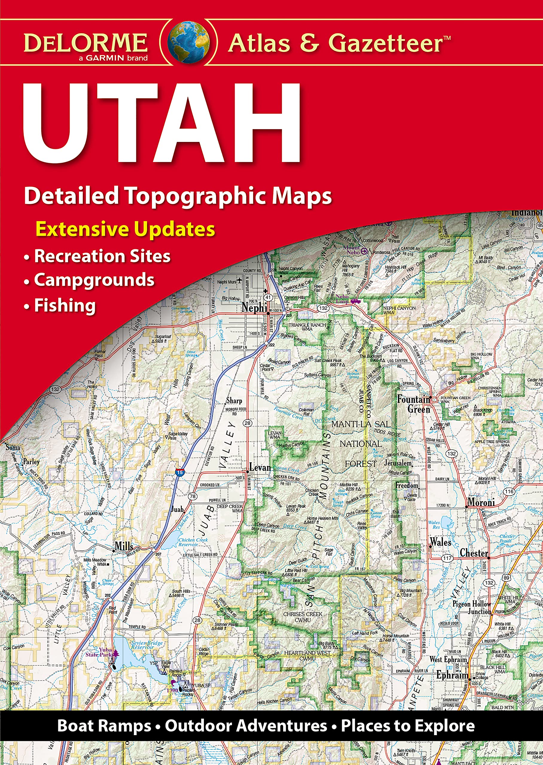
Boat Ramps, Outdoor Adventures, Places To Explore.Cover.
⚠️ WARNING (California Proposition 65):
This product may contain chemicals known to the State of California to cause cancer, birth defects, or other reproductive harm.
For more information, please visit www.P65Warnings.ca.gov.
- Q: What are the dimensions of the Delorme Atlas & Gazetteer Utah? A: The dimensions are fifteen and a half inches by eleven inches. This size makes it easy to handle while providing detailed maps.
- Q: How many pages does the Delorme Atlas & Gazetteer Utah have? A: This atlas contains sixty-four pages. It includes extensive maps and information for outdoor adventures.
- Q: What type of binding does the Delorme Atlas & Gazetteer Utah have? A: It has a paperback binding. This makes it lightweight and portable for outdoor use.
- Q: What information is included in the Delorme Atlas & Gazetteer Utah? A: The atlas provides topographic maps with details on cities, towns, recreation areas, and scenic drives. It is designed for outdoor exploration.
- Q: Is the Delorme Atlas & Gazetteer Utah suitable for GPS navigation? A: Yes, it includes a handy latitude and longitude overlay grid. This feature allows for easy navigation using GPS devices.
- Q: Can I use the Delorme Atlas & Gazetteer Utah for planning outdoor activities? A: Yes, it's perfect for planning outdoor adventures. The detailed maps highlight boat ramps, trails, and prime fishing spots.
- Q: How should I store the Delorme Atlas & Gazetteer Utah to keep it in good condition? A: Store it in a cool, dry place to avoid damage. Keeping it flat will also help maintain the integrity of the pages.
- Q: Is the Delorme Atlas & Gazetteer Utah waterproof? A: No, it is not waterproof. It is advisable to keep it protected from moisture during outdoor activities.
- Q: Can I easily navigate using the Delorme Atlas & Gazetteer Utah? A: Yes, the atlas features an overlay grid for latitude and longitude. This helps in navigating using GPS technology.
- Q: What types of recreational areas are shown in the Delorme Atlas & Gazetteer Utah? A: The atlas highlights various recreational areas including parks, fishing spots, and hiking trails. It's ideal for adventure seekers.
- Q: Is the Delorme Atlas & Gazetteer Utah suitable for children? A: Yes, it can be suitable for children with adult supervision. The maps encourage exploration of the outdoors.
- Q: Are there inset maps for major cities in the Delorme Atlas & Gazetteer Utah? A: Yes, inset maps are provided for major cities and state lands. This ensures better navigation in urban areas.
- Q: What is the primary use of the Delorme Atlas & Gazetteer Utah? A: Its primary use is for outdoor navigation and exploration. The full-color maps cater to adventurers and travelers.
- Q: Does the Delorme Atlas & Gazetteer Utah include historic sites? A: Yes, it includes information on historic sites. This makes it a valuable resource for those interested in history.
- Q: Who is the manufacturer of the Delorme Atlas & Gazetteer Utah? A: The manufacturer is Rand McNally. They are known for producing reliable maps and atlases.
- Q: What is the publication year of the Delorme Atlas & Gazetteer Utah? A: The publication year is two thousand twenty-two. This ensures that the maps are relatively up-to-date.