
Title
Delorme Missouri Atlas & Gazetteer,Used
Sold by Ergodebooks, an authorized reseller.
Returns accepted within 30 days | support@ergodebooks.com
Shipping Information
- Free Standard Shipping — United States only
- Processing Time: 3–5 business days
- Estimated Delivery: 6–10 business days after dispatch
- Double-boxed, fully insured & discreetly packaged
- Tracking number sent via email once dispatched
Returns & Refund
Returns accepted within 30 days of delivery.
Damaged or Defective Item
Free return shipping + replacement or full refund
Wrong Item Received
Free return shipping + replacement or full refund
Change of Mind
Return shipping at customer's expense · 25% restocking fee applies
Payment Option

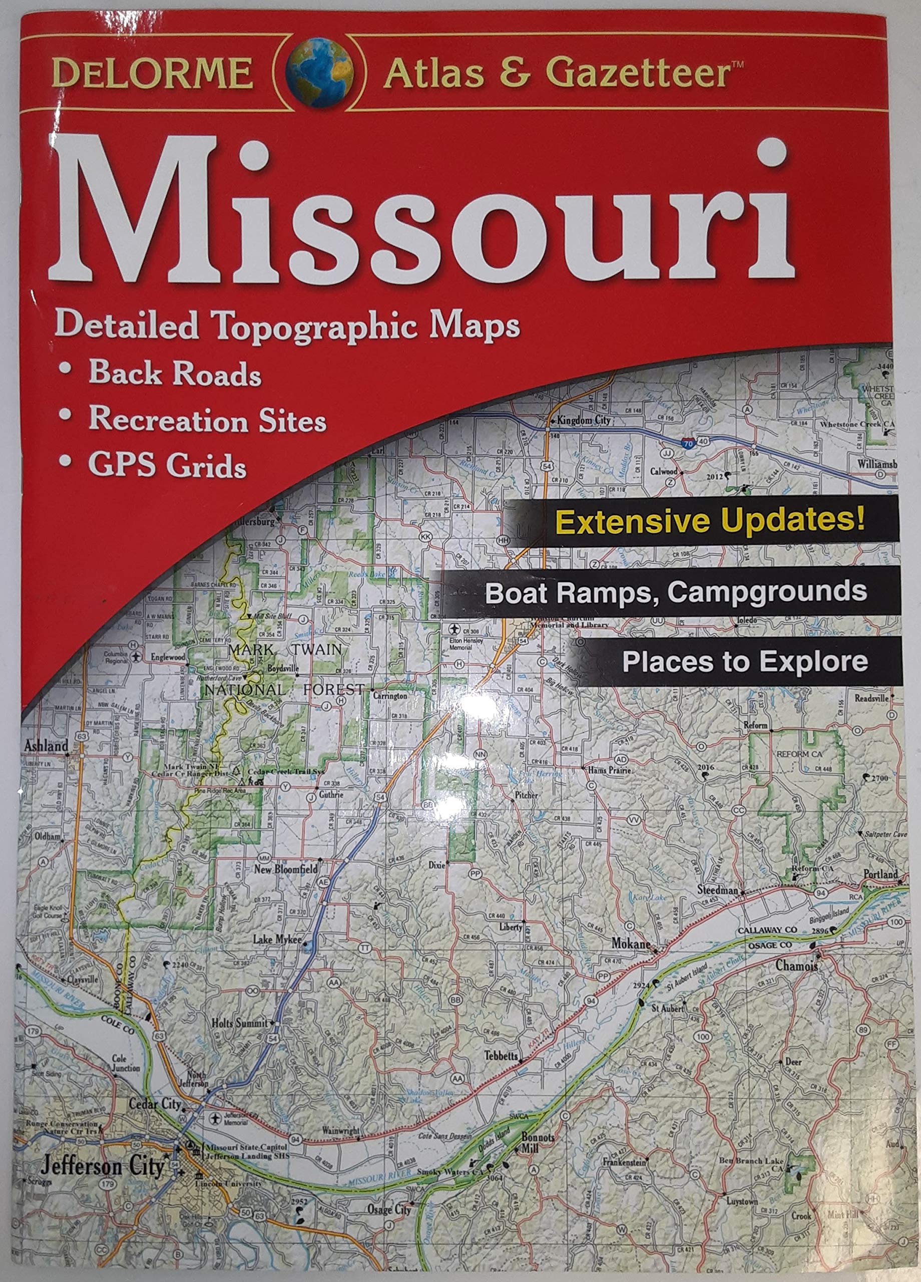
DeLorme Atlas & Gazetteers Are the Outdoor Enthusiasts' ChoiceAmazingly detailed and beautifully crafted, largeformat paper maps for all 50 statesTopographic maps with elevation contours, major highways and roads, dirt roads, trails and land use dataGazetteer section contains information essential for any outdoor enthusiast, such as points of interest, landmarks, state and national parks, campgrounds, boat launches, golf courses, historic sites, hunting zones, canoe trips, scenic drive recommendations and more (Note: available information varies by state)Perfect for sightseeing, exploring back roads, outdoor recreation and trip planningThe Perfect Companion for Outdoor Recreation and Trip PlanningRely on DeLorme Atlas & Gazetteer paper maps for the utmost in trip planning and backcountry access. It's available in paperback (11inches x 15.5inches) for all 50 states.
⚠️ WARNING (California Proposition 65):
This product may contain chemicals known to the State of California to cause cancer, birth defects, or other reproductive harm.
For more information, please visit www.P65Warnings.ca.gov.
- Q: What is the size of the Delorme Missouri Atlas & Gazetteer? A: The Delorme Missouri Atlas & Gazetteer is available in a paperback format measuring 11 inches by 15.5 inches.
- Q: What type of maps does the Delorme Missouri Atlas & Gazetteer include? A: The atlas includes detailed topographic maps featuring elevation contours, major highways, dirt roads, trails, and land use data.
- Q: Is the Delorme Missouri Atlas & Gazetteer suitable for outdoor activities? A: Yes, it is designed for outdoor enthusiasts and includes information on points of interest, campgrounds, parks, and scenic drives, making it ideal for outdoor recreation.
- Q: How many pages does the Delorme Missouri Atlas & Gazetteer have? A: The Delorme Missouri Atlas & Gazetteer contains 72 pages.
- Q: When was the Delorme Missouri Atlas & Gazetteer published? A: The Delorme Missouri Atlas & Gazetteer was published on April 3, 2017.
- Q: What is included in the gazetteer section of the atlas? A: The gazetteer section contains essential information such as landmarks, campgrounds, boat launches, scenic drive recommendations, and hunting zones.
- Q: What edition is the Delorme Missouri Atlas & Gazetteer? A: This product is the 6th edition of the Delorme Missouri Atlas & Gazetteer.
- Q: Is the Delorme Missouri Atlas & Gazetteer a new or used product? A: The Delorme Missouri Atlas & Gazetteer is in new condition.
- Q: Who is the author of the Delorme Missouri Atlas & Gazetteer? A: The author of the Delorme Missouri Atlas & Gazetteer is Delorme.
- Q: What are some features of the maps in this atlas? A: Features commonly include back roads, dirt roads, elevation contours, public lands for recreation, and prime hunting and fishing spots.