
Title


DK World Atlas: Second Edition,Used
Sold by Ergodebooks, an authorized reseller.
Returns accepted within 30 days | support@ergodebooks.com
Shipping Information
- Free Standard Shipping — United States only
- Processing Time: 3–5 business days
- Estimated Delivery: 6–10 business days after dispatch
- Double-boxed, fully insured & discreetly packaged
- Tracking number sent via email once dispatched
Returns & Refund
Returns accepted within 30 days of delivery.
Damaged or Defective Item
Free return shipping + replacement or full refund
Wrong Item Received
Free return shipping + replacement or full refund
Change of Mind
Return shipping at customer's expense · 25% restocking fee applies
Payment Option

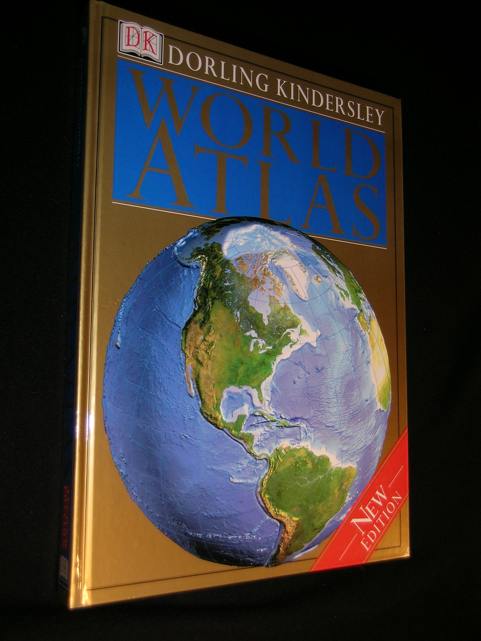
Unrivaled in its clarity, accuracy, and comprehensiveness, the Dorling Kindersley World Atlas is the ultimate atlas for homes, businesses, schools, and libraries.The Dorling Kindersley World Atlas takes you on an unparalleled journey around the globe. More than 450 maps created especially for this book show you exactly what the world really looks like today. The Second Edition of this bestselling atlas includes complete revision and updating of all the maps and a new geographical comparisons section Authoritative and easy to use, the Dorling Kindersley World Atlas opens with twelve magnificent doublepage spreads that give a global overview of the physical and human world as it is today. Each continent is then surveyed in detail, with maps describing the continent's physical landscape, political and cultural makeup, and the distribution of resources and economic activity. Maps with Unmatched Detail: At the heart of the atlas are the regional pages, which combine highquality mapping with photography, diagrams and landscape models all fully explained in detailed text and captions to provide an encyclopedic guide to the world in which we live. Major areas of the world are shown in unprecedented detail on eight foldout maps. Computergenerated models of the landscape give an enhanced view of the physical structure of each region. Ataglance maps spotlight interesting aspects of the area covered, such as regional divisions, key economic activities, land use, and agriculture. The stunning color photographs on each spread convey the essence of landscape and nature of each region. Comprehensive IndexGazetteer: All 80,000 geographical names on the maps are listed in the IndexGazetteer, complete with page and grid reference. Each place name and geographical feature is defined and located with a brief description, easytoread symbols, and alternative names and spellings. Essential information on all the world's countries is provided in the Countries Gazetteer, while the glossary provides explanations and definitions of the technical geographical terms that are used in the atlas.
⚠️ WARNING (California Proposition 65):
This product may contain chemicals known to the State of California to cause cancer, birth defects, or other reproductive harm.
For more information, please visit www.P65Warnings.ca.gov.