
Title
Easy To Read: Connecticut, Rhode Island,New
Sold by Ergodebooks, an authorized reseller.
Returns accepted within 30 days | support@ergodebooks.com
Shipping Information
- Free Standard Shipping — United States only
- Processing Time: 3–5 business days
- Estimated Delivery: 6–10 business days after dispatch
- Double-boxed, fully insured & discreetly packaged
- Tracking number sent via email once dispatched
Returns & Refund
Returns accepted within 30 days of delivery.
Damaged or Defective Item
Free return shipping + replacement or full refund
Wrong Item Received
Free return shipping + replacement or full refund
Change of Mind
Return shipping at customer's expense · 25% restocking fee applies
Payment Option

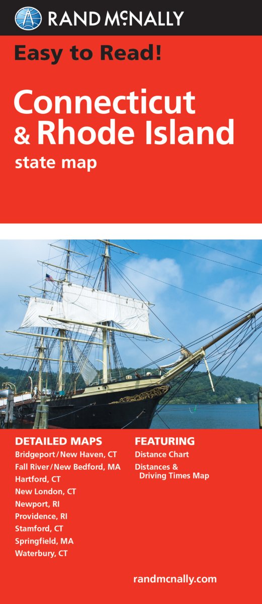
Rand McNally's Easy To Read State Folded Map is a musthave for anyone traveling in and around Connecticut and Rhode Island, offering unbeatable accuracy and reliability at a great price. Our trusted cartography shows all Interstate, U.S., state, and county highways, along with clearly indicated parks, points of interest, airports, county boundaries, and streets.The easytouse legend and detailed index make for quick and easy location of destinations. You'll see why Rand McNally folded maps have been the trusted standard for years.Regularly updated, fullcolor maps77% larger map with a bigger type size than the Rand McNally Folded MapClearly labeled Interstate, U.S., state, and county highwaysIndications of parks, points of interest, airports, county boundaries, and moreMileage and driving times mapDetailed indexConvenient folded sizeCoverage AreaDetailed maps of: Bridgeport/New Haven, CT; Fall River, MA; Hartford, CT; New London, CT; Newport, RI; Providence, RI; Stamford, CT; Springfield, MA; Waterbury, CT
⚠️ WARNING (California Proposition 65):
This product may contain chemicals known to the State of California to cause cancer, birth defects, or other reproductive harm.
For more information, please visit www.P65Warnings.ca.gov.