
Title
Easy To Read: Texas State Map,Used
Sold by Ergodebooks, an authorized reseller.
Returns accepted within 30 days | support@ergodebooks.com
Shipping Information
- Free Standard Shipping — United States only
- Processing Time: 3–5 business days
- Estimated Delivery: 6–10 business days after dispatch
- Double-boxed, fully insured & discreetly packaged
- Tracking number sent via email once dispatched
Returns & Refund
Returns accepted within 30 days of delivery.
Damaged or Defective Item
Free return shipping + replacement or full refund
Wrong Item Received
Free return shipping + replacement or full refund
Change of Mind
Return shipping at customer's expense · 25% restocking fee applies
Payment Option

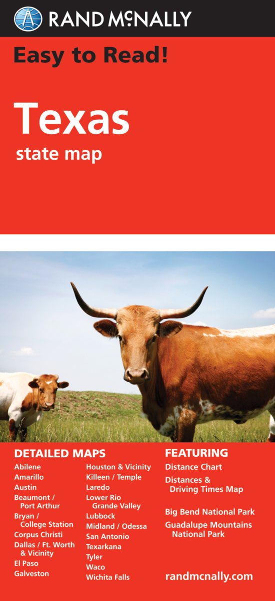
Rand McNallyx27s Easy To Read State Folded Map is a musthave for anyone traveling in and around Texas, offering unbeatable accuracy and reliability at a great price. Our trusted cartography shows all Interstate, U.S., state, and county highways, along with clearly indicated parks, points of interest, airports, county boundaries, and streets.The easytouse legend and detailed index make for quick and easy location of destinations. Youx27ll see why Rand McNally folded maps have been the trusted standard for years.Regularly updated, fullcolor maps40% larger map with a bigger type size than the Rand McNally Folded MapClearly labeled Interstate, U.S., state, and county highwaysIndications of parks, points of interest, airports, county boundaries, and moreMileage and driving times mapDetailed indexConvenient folded sizeCoverage AreaDetailed maps of: Abilene, Amarillo, Austin, Beaumont, Big Bend National Park, Bryan/College Station, Corpus Christi, Dallas/Fort Worth x26 Vicinity, El Paso, Galveston, Houston x26 Vicinity, Laredo, Lower Rio Grande Valley, Lubbock, Midland/Odessa, Port Arthur
⚠️ WARNING (California Proposition 65):
This product may contain chemicals known to the State of California to cause cancer, birth defects, or other reproductive harm.
For more information, please visit www.P65Warnings.ca.gov.
- Q: What is the size of the Texas State Map? A: The Texas State Map is conveniently folded, making it easy to carry and store. It is designed to be larger than standard maps with forty percent more coverage area.
- Q: How many pages does the Texas State Map have? A: The Texas State Map has zero pages as it is a folded map. It provides clear, full-color mapping without the need for pages.
- Q: What type of binding does the Texas State Map use? A: The Texas State Map uses a folded binding. This design allows for easy handling and storage during travel.
- Q: How do I use the Texas State Map? A: You unfold the map to view detailed routes and locations. The easy-to-use legend and index help in quickly finding destinations.
- Q: Is the Texas State Map suitable for navigating cities? A: Yes, the Texas State Map is suitable for navigating cities like Dallas and Houston. It clearly marks streets, highways, and points of interest.
- Q: Can children use the Texas State Map for learning? A: Yes, children can use the Texas State Map for learning about Texas geography. Its clear labeling and detailed information make it educational.
- Q: How should I store the Texas State Map? A: Store the Texas State Map in a dry place, preferably folded, to maintain its condition. Avoid exposure to moisture to prevent damage.
- Q: Is the Texas State Map waterproof? A: No, the Texas State Map is not waterproof. It's advisable to keep it away from water to avoid damage.
- Q: How do I keep the Texas State Map in good condition? A: To keep the Texas State Map in good condition, avoid folding it excessively and store it flat or in a protective sleeve.
- Q: What if the Texas State Map arrives damaged? A: If the Texas State Map arrives damaged, contact customer support for a replacement or return options. Ensure to keep the original packaging.
- Q: Can I compare the Texas State Map to GPS navigation? A: Yes, the Texas State Map can be compared to GPS navigation as a reliable backup. It provides accurate routes and mileage information.
- Q: Is the Texas State Map suitable for long-distance travelers? A: Yes, the Texas State Map is suitable for long-distance travelers. It includes mileage and driving times for better planning.
- Q: Is there a specific age group the Texas State Map is designed for? A: The Texas State Map is designed for all age groups. Its clarity and detail make it accessible for both adults and children.
- Q: How does the Texas State Map compare to digital maps? A: The Texas State Map offers a tangible and reliable alternative to digital maps, especially in areas with limited cell service.
- Q: Are there any parks featured on the Texas State Map? A: Yes, the Texas State Map features parks and points of interest throughout Texas. This includes national parks and local attractions.
- Q: What types of roads does the Texas State Map display? A: The Texas State Map displays Interstate, U.S., state, and county highways for comprehensive navigation across Texas.