If you have any questions, you are always welcome to contact us. We'll get back to you as soon as possible, withing 24 hours on weekdays.
Customer service
All questions about your order, return and delivery must be sent to our customer service team by e-mail at yourstore@yourdomain.com
Sale & Press
If you are interested in selling our products, need more information about our brand or wish to make a collaboration, please contact us at press@yourdomain.com
Help
If you have any questions, you are always welcome to contact us. We'll get back to you as soon as possible, withing 24 hours on weekdays.
Customer service
All questions about your order, return and delivery must be sent to our customer service team by e-mail at yourstore@yourdomain.com
Sale & Press
If you are interested in selling our products, need more information about our brand or wish to make a collaboration, please contact us at press@yourdomain.com
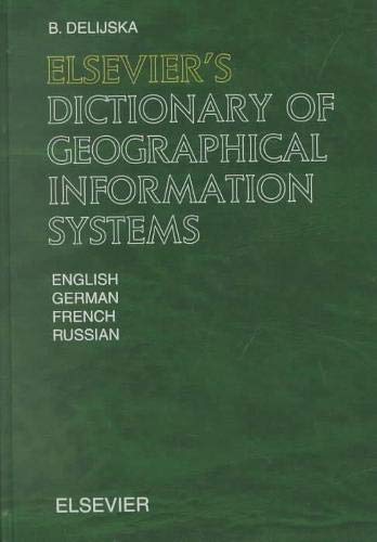
Elsevier's Dictionary of Geographical Information Systems contains 4,040 terms with about 1,700 crossreferences that are commonly used in the theory and practice of geographical information systems. The terms were selected according to their significance or frequency of use. The terminology covers the areas of geoinformatics, geostatistics, computer cartography, geospatial databases, computer graphics, geodesy, photogrammetry, remote sensing, hardware and software for introduction, processing and visualization of geospatial data, etc. Geographical information systems are modern, widely distributed and strategic tools in many human activities (land survey and regulation, ecology, forestry, agronomy, demography, hydrology, urban planning, transport, etc.).Elsevier's Dictionary of Geographical Information Systems will be a valuable tool for specialists, scientists and students and for everyone who is interested in this area.
⚠️ WARNING (California Proposition 65):
This product may contain chemicals known to the State of California to cause cancer,
birth defects, or other reproductive harm.
For MAP (Minimum Advertised Price) violations and Intellectual Property (IP) or Trademark concerns, please contact:
support@ergodebooks.com
⚠️ California Proposition 65 Warning: Some products sold on this website may expose you to chemicals known to the State of California to cause cancer, birth defects, or other reproductive harm. For more information, visit www.P65Warnings.ca.gov.