Title

Essential Earth Imaging for GIS,New
Delivery time: 8-12 business days (International)
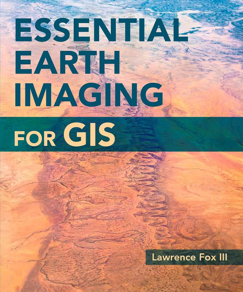
A guide to imaging technology and management, Essential Earth Imaging for GIS discusses characteristics of images obtained from aircraft and spacecraft, and how to enhance, register, and visually interpret multispectral imagery and point clouds. Geographic information system (GIS) professionals can use this book to learn about basic imaging technology. Students can use this book as a reference for introductory GIS courses that include multispectral image display and analysis.
By changing our most important processes and
products, we have already made a big leap forward. This ranges from the
increased use of more sustainable fibers to the use of more
environmentally friendly printing processes to the development of
efficient waste management in our value chain.
⚠️ WARNING (California Proposition 65):
This product may contain chemicals known to the State of California to cause cancer, birth defects, or other reproductive harm.
For more information, please visit www.P65Warnings.ca.gov.
Shipping & Returns
Shipping
We ship your order within 2–3 business days for USA deliveries and 5–8 business days for international shipments. Once your package has been dispatched from our warehouse, you'll receive an email confirmation with a tracking number, allowing you to track the status of your delivery.
Returns
To facilitate a smooth return process, a Return Authorization (RA) Number is required for all returns. Returns without a valid RA number will be declined and may incur additional fees. You can request an RA number within 15 days of the original delivery date. For more details, please refer to our Return & Refund Policy page.
Warranty
We provide a 2-year limited warranty, from the date of purchase for all our products.
If you believe you have received a defective product, or are experiencing any problems with your product, please contact us.
This warranty strictly does not cover damages that arose from negligence, misuse, wear and tear, or not in accordance with product instructions (dropping the product, etc.).
Secure Payment
Your payment information is processed securely. We do not store credit card details nor have access to your credit card information.
We accept payments with :
Visa, MasterCard, American Express, Paypal, Shopify Payments, Shop Pay and more.
Secure Payment
Your payment information is processed securely. We do not store credit card details nor have access to your credit card information.
We accept payments with :
Visa, MasterCard, American Express, Paypal, Shopify Payments, Shop Pay and more.
Related Products
You may also like
Frequently Asked Questions
- Q: What is the primary focus of 'Essential Earth Imaging for GIS'? A: The book primarily focuses on imaging technology and management, specifically discussing characteristics of images obtained from aircraft and spacecraft.
- Q: Who is the author of 'Essential Earth Imaging for GIS'? A: The author of the book is Lawrence Fox III.
- Q: What topics are covered in the book? A: The book covers how to enhance, register, and visually interpret multispectral imagery and point clouds, making it suitable for GIS professionals and students.
- Q: Is this book suitable for beginners in GIS? A: Yes, it serves as a reference for introductory GIS courses, focusing on multispectral image display and analysis.
- Q: What is the binding type of 'Essential Earth Imaging for GIS'? A: The book is available in paperback binding.
- Q: How many pages does 'Essential Earth Imaging for GIS' have? A: The book contains 128 pages.
- Q: When was 'Essential Earth Imaging for GIS' published? A: The book was published on July 31, 2015.
- Q: What condition is the book in? A: The book is in new condition.
- Q: What category does this book fall under? A: The book falls under the category of Remote Sensing & GIS.
- Q: Can I use this book for advanced GIS studies? A: While it is primarily designed for beginners and introductory courses, advanced users may still find valuable insights into imaging technologies.
