If you have any questions, you are always welcome to contact us. We'll get back to you as soon as possible, withing 24 hours on weekdays.
Customer service
All questions about your order, return and delivery must be sent to our customer service team by e-mail at yourstore@yourdomain.com
Sale & Press
If you are interested in selling our products, need more information about our brand or wish to make a collaboration, please contact us at press@yourdomain.com
Help
If you have any questions, you are always welcome to contact us. We'll get back to you as soon as possible, withing 24 hours on weekdays.
Customer service
All questions about your order, return and delivery must be sent to our customer service team by e-mail at yourstore@yourdomain.com
Sale & Press
If you are interested in selling our products, need more information about our brand or wish to make a collaboration, please contact us at press@yourdomain.com
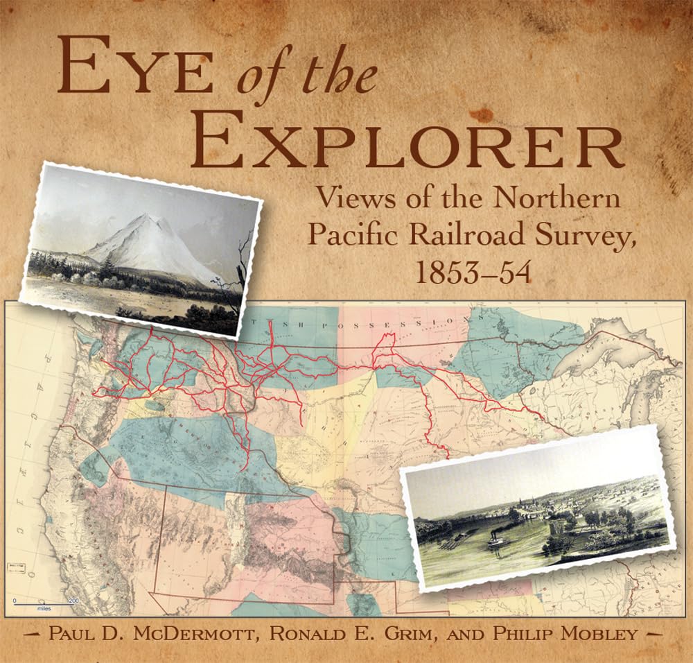
In the 1850s, Congress authorized and funded five railroad surveys to determine the most practical route for a transcontinental railroad through the western frontier. The northernmost survey, headed by Maj. Isaac Stevens, was the most successful, both scientifically and geographically. Along with the data assembled by numerous scientists and surveyors was the work of two artists, John Mix Stanley and Gustavus Sohon. Their illustrations graphically documented the physical and cultural geography of the northern Great Plains and Pacific Northwest, with a particular eye for Native American life. Eye of the Explorer: Views of the Northern Pacific Railroad Survey reproduces all seventy of the lithographs that appeared with Stevens?s final congressional report, published in 1860, as well as twelve of the lovely watercolor images from which the final prints were prepared.These views depict landscapes of undisturbed wilderness, scenes from the explorers? journey, and glimpses of settlements in the initial throes of development. The accompanying text tells the story of the survey party?s adventures, struggles, and daytoday activities, and describes each image?s historical, geographical, and geological importance. Liberally scattered throughout are quotations from the report. Dozens of detailed maps, illustrations, and historical photos further illuminate this engaging history.
⚠️ WARNING (California Proposition 65):
This product may contain chemicals known to the State of California to cause cancer,
birth defects, or other reproductive harm.
For MAP (Minimum Advertised Price) violations and Intellectual Property (IP) or Trademark concerns, please contact:
support@ergodebooks.com
⚠️ California Proposition 65 Warning: Some products sold on this website may expose you to chemicals known to the State of California to cause cancer, birth defects, or other reproductive harm. For more information, visit www.P65Warnings.ca.gov.