
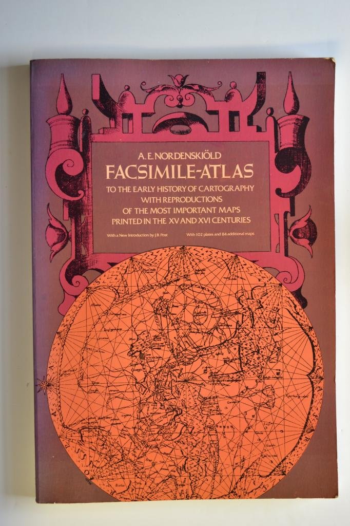
Facsimileatlas To The Early History Of Cartography With Reproductions Of The Most Important Maps Printed In The Xv And Xvi Cent
$31.34
Title
Facsimileatlas To The Early History Of Cartography With Reproductions Of The Most Important Maps Printed In The Xv And Xvi Cent
Free Standard Shipping Across USA
Quantity
Sold by Ergodebooks, an authorized reseller.
Returns accepted within 30 days | support@ergodebooks.com
Shipping Information
- Free Standard Shipping — United States only
- Processing Time: 3–5 business days
- Estimated Delivery: 6–10 business days after dispatch
- Double-boxed, fully insured & discreetly packaged
- Tracking number sent via email once dispatched
Returns & Refund
Returns accepted within 30 days of delivery.
Damaged or Defective Item
Free return shipping + replacement or full refund
Wrong Item Received
Free return shipping + replacement or full refund
Change of Mind
Return shipping at customer's expense · 25% restocking fee applies
All returns require a Return Authorization (RA) number before sending.
View Full Return & Refund Policy
Payment Option

English, Swedish (Translation)
⚠️ WARNING (California Proposition 65):
This product may contain chemicals known to the State of California to cause cancer, birth defects, or other reproductive harm.
For more information, please visit www.P65Warnings.ca.gov.
- Q: How many pages does this book have? A: This book has two hundred fifty-one pages. It provides a comprehensive look into early cartography.
- Q: What is the binding type of this book? A: The binding type is paperback. This makes it lightweight and easy to handle.
- Q: What languages is the text in? A: The text is in English and Swedish. This allows a broader audience to engage with the content.
- Q: Who is the author of the book? A: The author is A. E. Nordenskiold. He is known for his contributions to the study of cartography.
- Q: What category does this book fall under? A: This book falls under the Reference category. It is designed for scholarly research and educational purposes.
- Q: Is this book suitable for beginners in cartography? A: Yes, it is suitable for beginners. The book presents maps and historical context that are accessible to new learners.
- Q: How can I use this book for research? A: You can use this book as a reference for historical maps. It offers reproductions of significant maps from the fifteenth and sixteenth centuries.
- Q: Is this book appropriate for academic use? A: Yes, it is appropriate for academic use. It provides detailed insights into historical cartography, making it a valuable resource.
- Q: What is the best way to store this book? A: Store the book in a cool, dry place. Keeping it away from direct sunlight will help preserve its condition.
- Q: How do I clean this paperback book? A: To clean the book, gently wipe the cover with a dry cloth. Avoid using liquids that could damage the pages.
- Q: Does this book contain any hazardous materials? A: No, this book does not contain any hazardous materials. It is safe for general reading.
- Q: What if the book arrives damaged? A: If the book arrives damaged, you can contact customer support for a replacement. Ensure you have your order details ready.
- Q: Are there any illustrations in the book? A: Yes, the book includes reproductions of important historical maps. These illustrations enhance the understanding of cartography.
- Q: Can I use this book for a school project? A: Yes, you can use this book for a school project. It offers valuable information about the history of cartography.
- Q: Does this book include an index or bibliography? A: Yes, it includes an index and bibliography. This makes it easier to locate specific topics or references.
- Q: Is this book available in other formats? A: No, this book is currently only available in paperback format. There are no e-book or hardcover versions.