
Title
Family Maps of Kootenai County, Idaho,Used
Sold by Ergodebooks, an authorized reseller.
Returns accepted within 30 days | support@ergodebooks.com
Shipping Information
- Free Standard Shipping — United States only
- Processing Time: 3–5 business days
- Estimated Delivery: 6–10 business days after dispatch
- Double-boxed, fully insured & discreetly packaged
- Tracking number sent via email once dispatched
Returns & Refund
Returns accepted within 30 days of delivery.
Damaged or Defective Item
Free return shipping + replacement or full refund
Wrong Item Received
Free return shipping + replacement or full refund
Change of Mind
Return shipping at customer's expense · 25% restocking fee applies
Payment Option

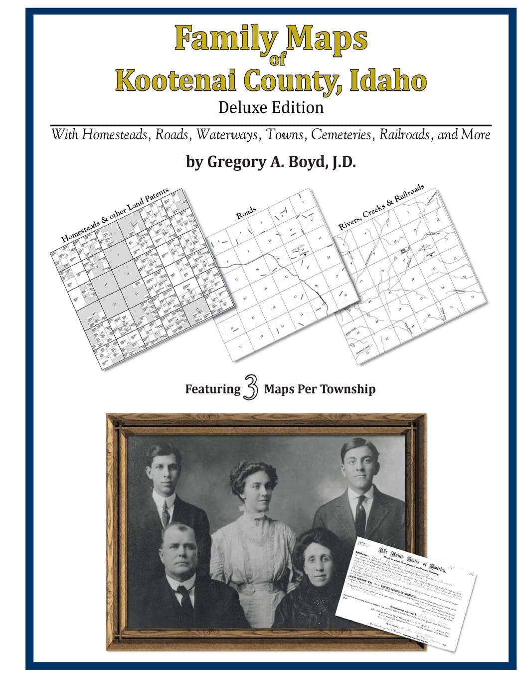
562 pages with 149 total maps Locating original landowners in maps has never been an easy taskuntil now. This volume in the Family Maps series contains newly created maps of original landowners (patent maps) in what is now Kootenai County, Idaho, gleaned from the indexes of the U.S. Bureau of Land Management. But it offers much more than that. For each township in the county, there are two additional maps accompanying the patent map: a road map and a map showing waterways, railroads, and both modern and many historical citycenters and cemeteries. Included are indexes to help you locate what you are looking for, whether you know a person's name, a last name, a placename, or a cemetery. The combination of maps and indexes are designed to aid researchers of American history or genealogy to explore frontier neighborhoods, examine family migrations, locate hardtofind cemeteries and towns, as well as locate land based on legal descriptions found in old documents or deeds. The patentmaps are essentially plat maps but instead of depicting owners for a particular year, these maps show original landowners, no matter when the transfer from the federal government was completed. Dates of patents typically begin near the time of statehood and run into the early 1900s. What's Mapped in this book (that you'll not likely find elsewhere) . . . 10646 Parcels of Land (with original landowner names and patentdates labeled in the relevant map) 16 Cemeteries plus . . . Roads, and existing Rivers, Creeks, Streams, Railroads, and Smalltowns (including some historical), etc. What YEARS are these maps for? Here are the counts for parcels of land mapped, by the decade in which the corresponding land patents were issued: Decade Parcelcount 1880s 114 1890s 506 1900s 4121 1910s 2603 1920s 288 1930s 513 1940s 212 1950s 12 1960s 52 1970s 124 1980s 262 1990s 61 What Cities and Towns are in Kootenai County, Idaho (and in this book)? Athol, Atlas, Bayview, Bellgrove, Belmont, Blackwell, Canyon, Ch+'ach'alqw Landing, Chilco, Clarksville, Coeur d'Alene, Coeur d'Alene Junction, Conkling Park, Corbin Junction, Dalton Gardens, Dudley, East Greenacres, Echo Beach, Eddyville, English point, Excelsior Beach, Fernan Lake Village, Fir Grove, Garwood, Gibbs, Grand Junction, Harris Landing, Harrison, Hauser, Haycrop, Hayden, Hayden Lake, Howelltown, Huetter, Lacon, Lane, Len Landing, Lyondale (historical), McGuire, Medimont, Mica, Mozart, North Pole, Pleasant View, Post Falls, Ramsey, Rathdrum, Rockaway Beach, Rockford Bay, Rose Lake, Setters, Silver Beach, Silver Sands Beach, Spirit Lake, Springston, State Line Village, Sturgeon, Twin Beaches, Twinlow, Wolf Lodge, Worley
⚠️ WARNING (California Proposition 65):
This product may contain chemicals known to the State of California to cause cancer, birth defects, or other reproductive harm.
For more information, please visit www.P65Warnings.ca.gov.