
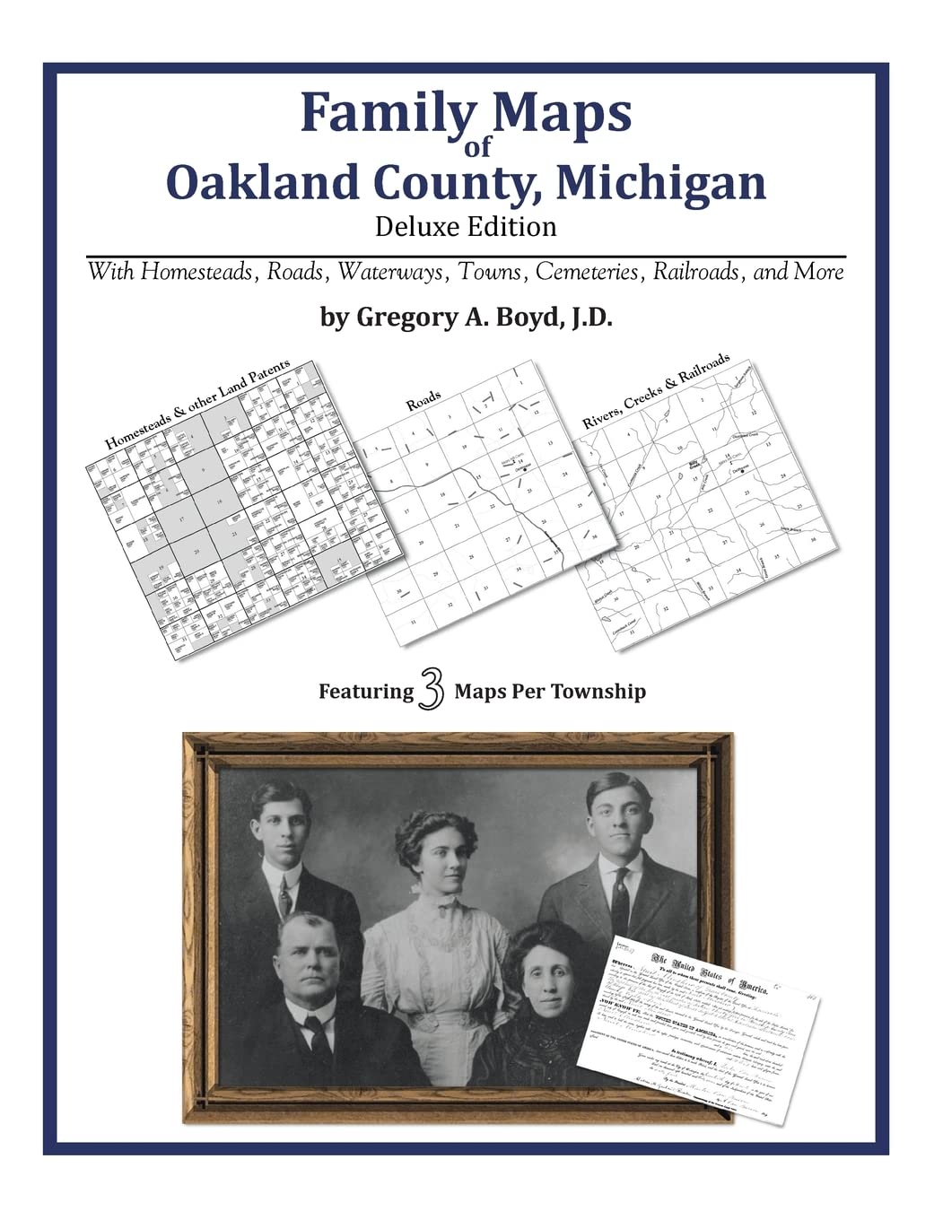
Title
Family Maps of Oakland County, Michigan,Used
Sold by Ergodebooks, an authorized reseller.
Returns accepted within 30 days | support@ergodebooks.com
Shipping Information
- Free Standard Shipping — United States only
- Processing Time: 3–5 business days
- Estimated Delivery: 6–10 business days after dispatch
- Double-boxed, fully insured & discreetly packaged
- Tracking number sent via email once dispatched
Returns & Refund
Returns accepted within 30 days of delivery.
Damaged or Defective Item
Free return shipping + replacement or full refund
Wrong Item Received
Free return shipping + replacement or full refund
Change of Mind
Return shipping at customer's expense · 25% restocking fee applies
Payment Option

394 pages with 80 total maps Locating original landowners in maps has never been an easy taskuntil now. This volume in the Family Maps series contains newly created maps of original landowners (patent maps) in what is now Oakland County, Michigan, gleaned from the indexes of the U.S. Bureau of Land Management. But it offers much more than that. For each township in the county, there are two additional maps accompanying the patent map: a road map and a map showing waterways, railroads, and both modern and many historical citycenters and cemeteries. Included are indexes to help you locate what you are looking for, whether you know a person's name, a last name, a placename, or a cemetery. The combination of maps and indexes are designed to aid researchers of American history or genealogy to explore frontier neighborhoods, examine family migrations, locate hardtofind cemeteries and towns, as well as locate land based on legal descriptions found in old documents or deeds. The patentmaps are essentially plat maps but instead of depicting owners for a particular year, these maps show original landowners, no matter when the transfer from the federal government was completed. Dates of patents typically begin near the time of statehood and run into the early 1900s. What's Mapped in this book (that you'll not likely find elsewhere) . . . 7427 Parcels of Land (with original landowner names and patentdates labeled in the relevant map) 63 Cemeteries plus . . . Roads, and existing Rivers, Creeks, Streams, Railroads, and Smalltowns (including some historical), etc. What YEARS are these maps for? Here are the counts for parcels of land mapped, by the decade in which the corresponding land patents were issued: Decade Parcelcount 1820s 1018 1830s 5744 1840s 277 1850s 215 1860s 15 1870s 9 1880s 13 1890s 7 1900s 7 1910s 43 1920s 59 1930s 4 1940s 9 1950s 5 1990s 1 What Cities and Towns are in Oakland County, Michigan (and in this book)? Andersonville, Auburn Heights, Auburn Hills, Austin Corners, Berkley, Beverly Hills, Big Beaver, Bingham Farms, Birmingham, Bloomfield, Bloomfield Hills, Brandon Gardens, Campbells Corner, Charing Cross, Clarenceville, Clarkston, Clarkston, Clawson, Clintonville, Clyde, Commerce, Davisburg, Drayton Plains, East Highland, Farmington, Farmington Acres, Farmington Hills, Ferndale, Five Points, Four Towns, Franklin, Gingellville, Glengary, Goodison, Groveland Corners, Hazel Park, Hickory Ridge, Highland, Holly, Huntington Woods, Jossman Acres, Keego Harbor, Lake Angelus, Lake Orion, Lake Orion Heights, Lakeville, Lathrup Village, Leonard, Madison Heights, Milford, New Hudson, Newark, North Farmington, Novi, Oak Grove, Oak Park, Oakley Park, Oakwood, Orchard Lake, Ortonville, Oxbow, Oxford, Perry Lake Heights, Pleasant Ridge, Pontiac, Quakertown, Rochester, Rochester Hills, Rose Corners, Royal Oak, Rudds Mill, Seven Harbors, South Lyon, Southfield, Springfield, Stony Creek, Sylvan Lake, Thomas, Troy, Union Lake, Walled Lake, Walters, Waterford, West Highland, Westacres, White Lake, Wixom, Wolverine Lake, Wood Creek Farms, Yates
⚠️ WARNING (California Proposition 65):
This product may contain chemicals known to the State of California to cause cancer, birth defects, or other reproductive harm.
For more information, please visit www.P65Warnings.ca.gov.