
Title
Geographic Information Systems (GIS) for Disaster Management,Used
Sold by Ergodebooks, an authorized reseller.
Returns accepted within 30 days | support@ergodebooks.com
Shipping Information
- Free Standard Shipping — United States only
- Processing Time: 3–5 business days
- Estimated Delivery: 6–10 business days after dispatch
- Double-boxed, fully insured & discreetly packaged
- Tracking number sent via email once dispatched
Returns & Refund
Returns accepted within 30 days of delivery.
Damaged or Defective Item
Free return shipping + replacement or full refund
Wrong Item Received
Free return shipping + replacement or full refund
Change of Mind
Return shipping at customer's expense · 25% restocking fee applies
Payment Option

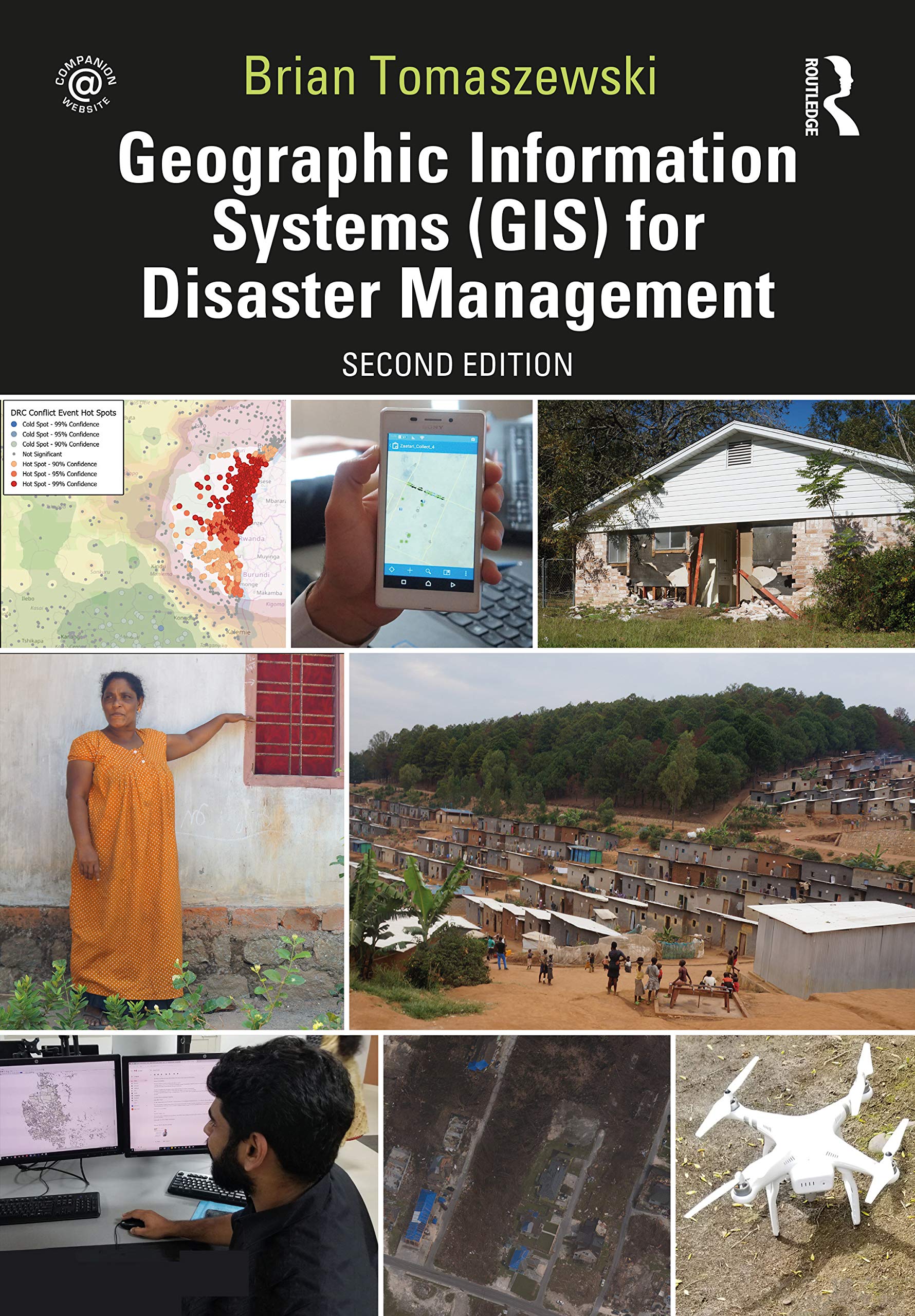
Now in its second edition, Geographic Information Systems (GIS) for Disaster Management has been completely updated to take account of new developments in the field.Using a handson approach grounded in relevant GIS and disaster management theory and practice, this textbook continues the tradition of the benchmark first edition, providing coverage of GIS fundamentals applied to disaster management. Reallife case studies demonstrate GIS concepts and their applicability to the full disaster management cycle. The learningbyexample approach helps readers see how GIS for disaster management operates at local, state, national, and international scales through government, the private sector, nongovernmental organizations, and volunteer groups.New in the second edition: a chapter on allied technologies that includes remote sensing, Global Positioning Systems (GPS), indoor navigation, and Unmanned Aerial Systems (UAS); thirteen new technical exercises that supplement theoretical and practical chapter discussions and fully reinforce concepts learned; enhanced boxed text and other pedagogical features to give readers even more practical advice; examination of new forms of worldwide disaster faced by society; discussion of new commercial and opensource GIS technology and techniques such as machine learning and the Internet of Things; new interviews with subjectmatter and industry experts on GIS for disaster management in the US and abroad; new career advice on getting a first job in the industry.Learned yet accessible, Geographic Information Systems (GIS) for Disaster Management continues to be a valuable teaching tool for undergraduate and graduate instructors in the disaster management and GIS fields, as well as disaster management and humanitarian professionals.Please visit http://gisfordisastermanagement.com to view supplemental material such as slides and handson exercise video walkthroughs. This companion website offers valuable handson experience applying concepts to practice.
⚠️ WARNING (California Proposition 65):
This product may contain chemicals known to the State of California to cause cancer, birth defects, or other reproductive harm.
For more information, please visit www.P65Warnings.ca.gov.