
Title
Georgia Recreation Atlas (National Geographic Recreation Atlas),Used
Sold by Ergodebooks, an authorized reseller.
Returns accepted within 30 days | support@ergodebooks.com
Shipping Information
- Free Standard Shipping — United States only
- Processing Time: 3–5 business days
- Estimated Delivery: 6–10 business days after dispatch
- Double-boxed, fully insured & discreetly packaged
- Tracking number sent via email once dispatched
Returns & Refund
Returns accepted within 30 days of delivery.
Damaged or Defective Item
Free return shipping + replacement or full refund
Wrong Item Received
Free return shipping + replacement or full refund
Change of Mind
Return shipping at customer's expense · 25% restocking fee applies
Payment Option

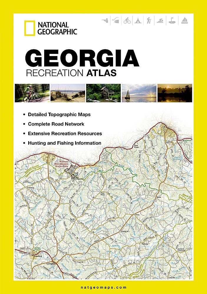
National Geographic's Georgia Recreation Atlas is the ideal resource for any recreation activity from hunting and fishing to camping, golfing, hiking, and more. This durable, easytouse atlas includes uptodate topographic maps, a comprehensive road network, informative recreation guides, and a detailed index. All road types are clearly identified, making each atlas a useful planning tool for motorcycle and offroad adventures. Maps include bold boundaries for parks and federal lands, and clearly labeled lakes, rivers, and streams. On each map page you will find a convenient map legend, easytoread page numbers, a latitude and longitude grid for use with GPS, and factchecked pointsofinterest. Also included are crossreferenced charts of fishing areas with species information, game management units, campgrounds and attractions charts, state park maps and facilities, hiking, golfing, skiing and paddling destinations, climate information, and more. Detailed topographic maps with shaded relief for the entire state. Map scale is 1:150,000 Each labeled feature is uptodate and verified by satellite image Comprehensive, easytoread road network Boundaries for parks and federal lands Clearlylabeled lakes, rivers and streams Durable laminated cover Size 11'x15' Robust travel and recreation information Crossreferenced chart of fishing areas with species information Game management units Campgrounds and attraction charts State Parks maps and facilities Hiking, golfing, skiing and paddling destinations Climate information Map Scale = 1:150,000 Folded Size = 10.75' x 15.5'
⚠️ WARNING (California Proposition 65):
This product may contain chemicals known to the State of California to cause cancer, birth defects, or other reproductive harm.
For more information, please visit www.P65Warnings.ca.gov.