If you have any questions, you are always welcome to contact us. We'll get back to you as soon as possible, withing 24 hours on weekdays.
Customer service
All questions about your order, return and delivery must be sent to our customer service team by e-mail at yourstore@yourdomain.com
Sale & Press
If you are interested in selling our products, need more information about our brand or wish to make a collaboration, please contact us at press@yourdomain.com
Help
If you have any questions, you are always welcome to contact us. We'll get back to you as soon as possible, withing 24 hours on weekdays.
Customer service
All questions about your order, return and delivery must be sent to our customer service team by e-mail at yourstore@yourdomain.com
Sale & Press
If you are interested in selling our products, need more information about our brand or wish to make a collaboration, please contact us at press@yourdomain.com
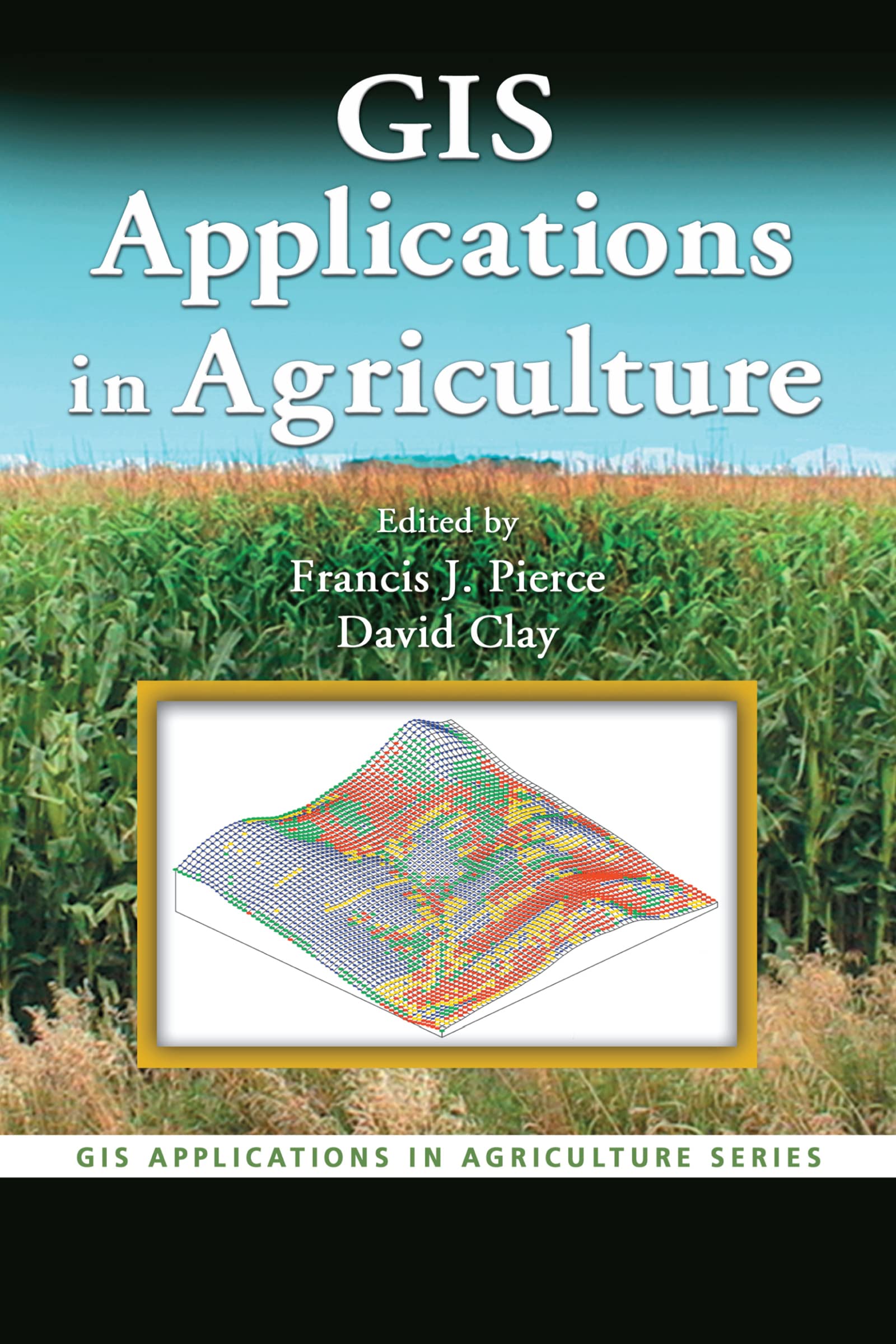
The increased efficiency and profitability that the proper application of technology can provide has made precision agriculture the hottest developing area within traditional agriculture. The first singlesource volume to cover GIS applications in agronomy, GIS Applications in Agriculture examines ways that this powerful technology can help farmers produce a greater abundance of crops with more efficiency and at lower costs.Each chapter describes the nature of a problem, examines the purpose and scope of a GIS application, presents the methods used to develop the application, and then goes on to provide results and offer a conclusion as well as supporting information. When appropriate, the chapters present the underlying statistical approach for the GIS software that is used. Applicable data sets and color maps produced by use of GIS are included for download at the CRC webiste.Concentrating more on the approach and less on the specific software, the authors describe the methods used to develop an application and discuss limitations to the algorithms and the programming code used. They then summarize the application in terms of what it does, how it works, its limitations, and its potential uses. The book provides a toolkit for the acquisition, management, and analysis of spatial data throughout the agriculture value chain.
⚠️ WARNING (California Proposition 65):
This product may contain chemicals known to the State of California to cause cancer,
birth defects, or other reproductive harm.
For MAP (Minimum Advertised Price) violations and Intellectual Property (IP) or Trademark concerns, please contact:
support@ergodebooks.com
⚠️ California Proposition 65 Warning: Some products sold on this website may expose you to chemicals known to the State of California to cause cancer, birth defects, or other reproductive harm. For more information, visit www.P65Warnings.ca.gov.