
Title
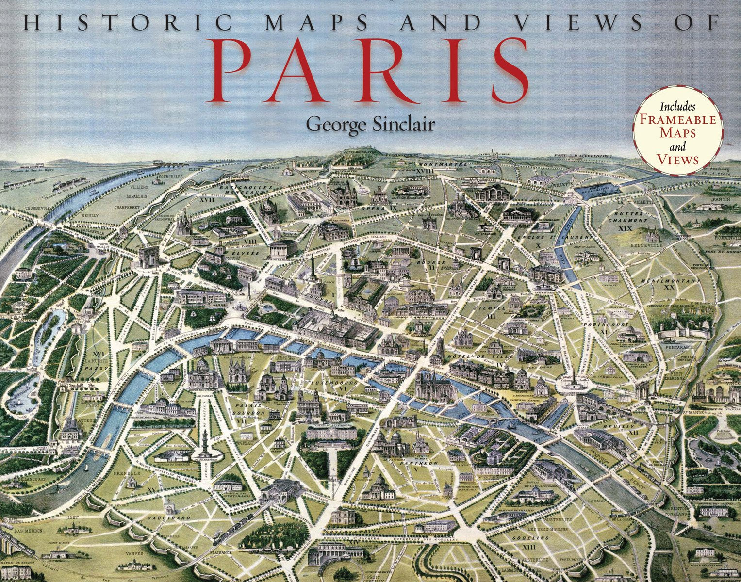
Historic Maps And Views Of Paris: 24 Frameable Maps
Sold by Ergodebooks, an authorized reseller.
Returns accepted within 30 days | support@ergodebooks.com
Shipping Information
- Free Standard Shipping — United States only
- Processing Time: 3–5 business days
- Estimated Delivery: 6–10 business days after dispatch
- Double-boxed, fully insured & discreetly packaged
- Tracking number sent via email once dispatched
Returns & Refund
Returns accepted within 30 days of delivery.
Damaged or Defective Item
Free return shipping + replacement or full refund
Wrong Item Received
Free return shipping + replacement or full refund
Change of Mind
Return shipping at customer's expense · 25% restocking fee applies
Payment Option

The 24 Unique, Fascinating, And Beautiful Maps And Views In This Book Date From The 12Th Century To The Present, Including Some Of The Earliest Known Maps Of Paris As Well As Topographical Maps, Views Of Iconic Locations And Monuments, Transit Maps, Maps Used For Advertising, Road And Bicycle Maps, And Much More.The Images Have Been Carefully Selected By Photographic Historian George Sinclair, Who Traveled Across Europe To Mine Some Of The Most Obscure Historical Collections For A Wide Variety Of Unique, Neverbeforepublished, And Visually And Historically Intriguing Images. Every Map Or View Includes The Original Printing Information On The Back And Is Accompanied By Brief Text That Places The Image In Its Historic Context And Further Illuminates Its Qualities. In Addition, Sinclair Provides A Thoughtful Introduction To The Collection Of Images. Printed On Highquality Matte Paper And Exquisitely Reproduced, These Images Are Perfect For Display In Any Home, Office, Library, Dorm Room, Or Classroom.
⚠️ WARNING (California Proposition 65):
This product may contain chemicals known to the State of California to cause cancer, birth defects, or other reproductive harm.
For more information, please visit www.P65Warnings.ca.gov.
- Q: How many maps are included in this book? A: There are twenty-four unique maps included in this book. Each map offers a fascinating view of Paris from various historical periods.
- Q: What size are the maps in this book? A: The maps are designed to be frameable, with dimensions of eleven inches in length and fourteen inches in height.
- Q: What type of binding does this book have? A: This book has a paperback binding. It is designed for easy handling and display.
- Q: Who is the author of this book? A: The author of this book is George Sinclair, a photographic historian known for his extensive research and collection of historical images.
- Q: How many pages does the book contain? A: The book contains fifty-six pages in total. Each page features a unique map or view along with historical context.
- Q: What is the historical time range of the maps? A: The maps date from the twelfth century to the present. This range includes some of the earliest known maps of Paris.
- Q: How should I display the maps from this book? A: The maps are perfect for framing and displaying in various settings such as homes, offices, and classrooms.
- Q: Are these maps suitable for educational purposes? A: Yes, these maps are suitable for educational purposes. They provide historical context and visual intrigue for students and educators.
- Q: Can I return the book if I'm not satisfied? A: Yes, there is a no-quibbles return policy. You can return the book if you are not satisfied with your purchase.
- Q: How should I care for this book to ensure it lasts? A: To care for this book, keep it in a dry place and avoid exposure to direct sunlight. This will help preserve the quality of the images.
- Q: Is the packaging for this book guaranteed? A: Yes, the packaging is guaranteed. The book will be dispatched with care to ensure it arrives in mint condition.
- Q: What materials are used for the pages in this book? A: The pages are printed on high-quality matte paper. This material enhances the visual appeal of the maps.
- Q: Are there any maps that highlight specific monuments in Paris? A: Yes, the book includes maps and views of iconic locations and monuments throughout Paris, showcasing its rich history.
- Q: Does the book include any introductory text? A: Yes, the book includes a thoughtful introduction by George Sinclair that provides context for the collection of images.
- Q: Are the images in this book unique? A: Yes, many images are unique and never-before-published, sourced from obscure historical collections across Europe.
- Q: What type of context is provided for each map? A: Each map is accompanied by brief text that places it in its historical context and highlights its qualities.