If you have any questions, you are always welcome to contact us. We'll get back to you as soon as possible, withing 24 hours on weekdays.
Customer service
All questions about your order, return and delivery must be sent to our customer service team by e-mail at yourstore@yourdomain.com
Sale & Press
If you are interested in selling our products, need more information about our brand or wish to make a collaboration, please contact us at press@yourdomain.com
Help
If you have any questions, you are always welcome to contact us. We'll get back to you as soon as possible, withing 24 hours on weekdays.
Customer service
All questions about your order, return and delivery must be sent to our customer service team by e-mail at yourstore@yourdomain.com
Sale & Press
If you are interested in selling our products, need more information about our brand or wish to make a collaboration, please contact us at press@yourdomain.com
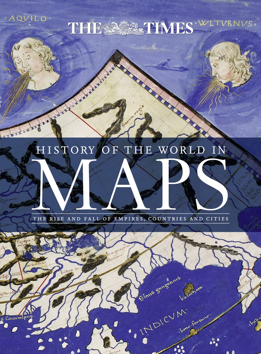
From Babylonian Tablets To Google Maps, The World Has Evolved Rapidly, Along With The Ways In Which We See It. In This Time, Cartography Has Not Only Kept Pace With These Changes, But Has Often Driven Them. Every Map Tells A Story And This Book Tells The Incredible History Of Our World Through Maps, And Includes Many Famous Examples Of Cartography, Along With Some That Deserve To Be Better Known. Key Maps Shown Include Babylonian Clay Tablets, C.2300 Bc And C.600 Bc (Some Of The Worlds Oldest Surviving Maps); Waldseemller World Map, 1507 (The First Map To Use The Name America For The New World), Waghenaer Chart, 1584 (A Forerunner To Modern Nautical Charts), Abel Buell Map Of North America, 1782 (The First Map Of The Newly Independent United States That Was Produced In America By An American), The Scramble For Africa, 1852/1898 (Maps Of New Colonies Being Created); Ypres, 1918 (Map Of The Aftermath Of World War I); And Cuban Missile Crisis, 1962 (Map Used By President John F. Kennedy During The Crisis).
⚠️ WARNING (California Proposition 65):
This product may contain chemicals known to the State of California to cause cancer,
birth defects, or other reproductive harm.
For MAP (Minimum Advertised Price) violations and Intellectual Property (IP) or Trademark concerns, please contact:
support@ergodebooks.com
⚠️ California Proposition 65 Warning: Some products sold on this website may expose you to chemicals known to the State of California to cause cancer, birth defects, or other reproductive harm. For more information, visit www.P65Warnings.ca.gov.