
Title
How The West Was Drawn: Mapping, Indians, And The Construction Of The Transmississippi West (Borderlands And Transcultural Stud,Used
Sold by Ergodebooks, an authorized reseller.
Returns accepted within 30 days | support@ergodebooks.com
Shipping Information
- Free Standard Shipping — United States only
- Processing Time: 3–5 business days
- Estimated Delivery: 6–10 business days after dispatch
- Double-boxed, fully insured & discreetly packaged
- Tracking number sent via email once dispatched
Returns & Refund
Returns accepted within 30 days of delivery.
Damaged or Defective Item
Free return shipping + replacement or full refund
Wrong Item Received
Free return shipping + replacement or full refund
Change of Mind
Return shipping at customer's expense · 25% restocking fee applies
Payment Option

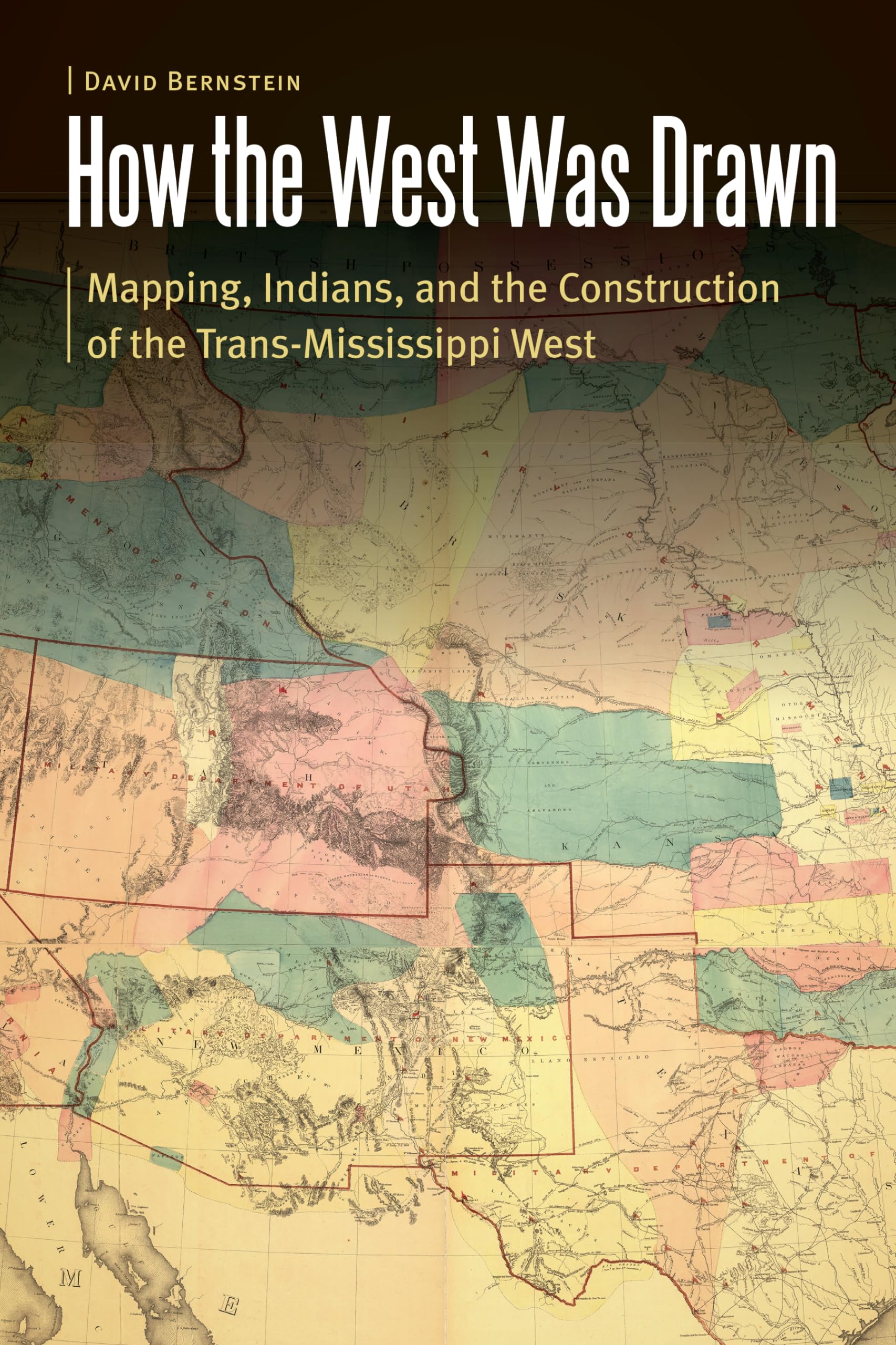
How the West Was Drawn explores the geographic and historical experiences of the Pawnees, the Iowas, and the Lakotas during the European and American contest for imperial control of the Great Plains during the eighteenth and nineteenth centuries. David Bernstein argues that the American West was a collaborative construction between Native peoples and EuroAmerican empires that developed cartographic processes and culturally specific maps, which in turn reflected encounter and conflict between settler states and indigenous peoples.Bernstein explores the cartographic creation of the TransMississippi West through an interdisciplinary methodology in geography and history. He shows how the Pawnees and the Iowaswedged between powerful Osages, Sioux, the horse and captiverich Comanche Empire, French fur traders, Spanish merchants, and American Indian agents and explorersdevised strategies of survivance and diplomacy to retain autonomy during this era. The Pawnees and the Iowas developed a strategy of cartographic resistance to predations by both EuroAmerican imperial powers and strong indigenous empires, navigating the volatile and rapidly changing world of the Great Plains by brokering their spatial and territorial knowledge either to stronger indigenous nations or to much weaker and conquerable American and European powers.How the West Was Drawn is a revisionist and interdisciplinary understanding of the global imperial contest for North Americas Great Plains that illuminates in fine detail the strategies of survival of the Pawnees, the Iowas, and the Lakotas amid accommodation to predatory EuroAmerican and Native empires.
⚠️ WARNING (California Proposition 65):
This product may contain chemicals known to the State of California to cause cancer, birth defects, or other reproductive harm.
For more information, please visit www.P65Warnings.ca.gov.