
Title
Illustrated Navigation: Traditional, Electronic & Celestial Navigation (Illustrated Nautical Manuals),Used
Sold by Ergodebooks, an authorized reseller.
Returns accepted within 30 days | support@ergodebooks.com
Shipping Information
- Free Standard Shipping — United States only
- Processing Time: 3–5 business days
- Estimated Delivery: 6–10 business days after dispatch
- Double-boxed, fully insured & discreetly packaged
- Tracking number sent via email once dispatched
Returns & Refund
Returns accepted within 30 days of delivery.
Damaged or Defective Item
Free return shipping + replacement or full refund
Wrong Item Received
Free return shipping + replacement or full refund
Change of Mind
Return shipping at customer's expense · 25% restocking fee applies
Payment Option

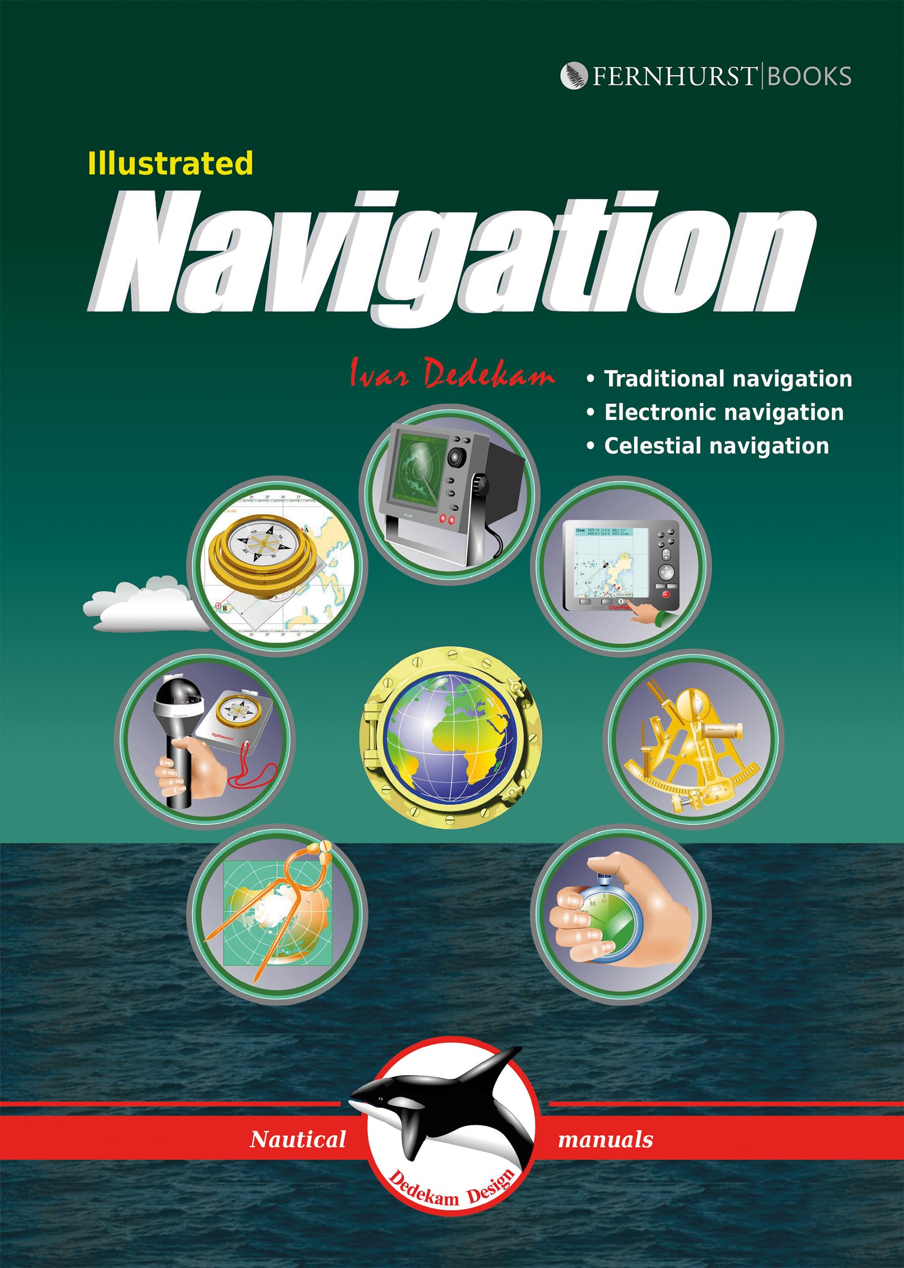
Today, yachts are often equipped with radar, GPS, chart plotters, AIS, etc. This equipment has also become much more reliable, making it possible to make long offshore passages without a great knowledge of navigation. However, such equipment can be set up wrongly, interpreted incorrectly, malfunction or lose power. In these circumstances, knowledge of traditional navigation can become extremely important. This book will teach you how to navigate in the traditional way using compass, log and plotter; and also how to navigate using electronic aids like GPS, radar and chart plotter. In addition, you will learn some basic celestial navigation using the sun and stars to obtain your position using sextant, almanacs, tables and a watch. Each method of navigation is explained alongside detailed illustrations and examples, combining to make a straightforward and easytofollow guide.Table of ContentsIntroductionContentsTRADITIONAL NAVIGATION: How charts are created, Latitude and longitude, Position, Using charts, Variation and deviation, Steering compass, Logs and echosounders, Plotting implements, Leeway and current, Handbearing compasses, Dead reckoning / bearings, Miscellaneous, Sailing at night, IALA buoyage system, Tide and tidal currents, Navigation lights, SummaryELECTRONIC NAVIGATION: GPS, GPS how does it work?, GPS receivers, Using the GPS receiver, Chart plotters, Using the chart plotter, Waypoints and routes, Display setup, Receiver setup, Radar, Range / bearing discrimination, Radar operation, Adjusting the radar, Radar problems, Display setup, Collision avoidance, AISCELESTIAL NAVIGATION: The suns geographic position, Astronomical model, Principles of celestial navigation, Hour angles, Noon sight, Measuring suns altitude, UTC, zone and standard time, Working a sight, Sight reduction sheet, Taking the noon sight, Plotting position lines, Finding lat. and long. directly, Corrections, Stars, Polaris (North Star), Using a calculatorAppendix: Tables & formulae.
⚠️ WARNING (California Proposition 65):
This product may contain chemicals known to the State of California to cause cancer, birth defects, or other reproductive harm.
For more information, please visit www.P65Warnings.ca.gov.