
Title
Inventing The Charles River (Mit Press),Used
Sold by Ergodebooks, an authorized reseller.
Returns accepted within 30 days | support@ergodebooks.com
Shipping Information
- Free Standard Shipping — United States only
- Processing Time: 3–5 business days
- Estimated Delivery: 6–10 business days after dispatch
- Double-boxed, fully insured & discreetly packaged
- Tracking number sent via email once dispatched
Returns & Refund
Returns accepted within 30 days of delivery.
Damaged or Defective Item
Free return shipping + replacement or full refund
Wrong Item Received
Free return shipping + replacement or full refund
Change of Mind
Return shipping at customer's expense · 25% restocking fee applies
Payment Option

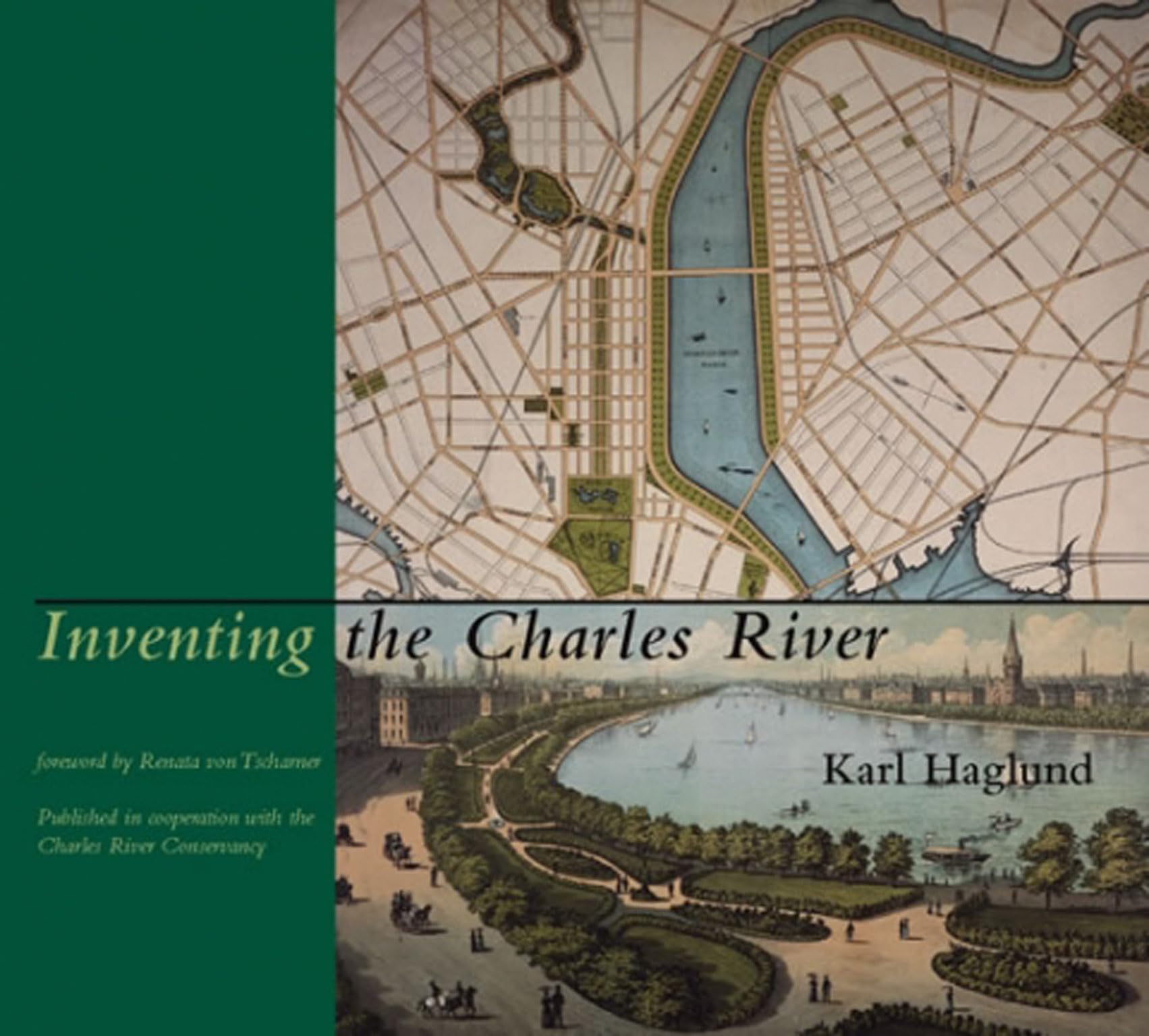
An Illustrated Account Of The Creation Of The Charles River Basin, Focusing On The Precarious Balance Between Transportation Planning And The Stewardship Of The Public Realm.The Charles River Basin, Extending Nine Miles Upstream From The Harbor, Has Been Called Boston'S 'Central Park.' Yet Few Realize That This Apparently Natural Landscape Is A Totally Fabricated Public Space. Two Hundred Years Ago The Charles Was A Tidal River, Edged By Hundreds Of Acres Of Salt Marshes And Mudflats. Inventing The Charles River Describes How, Before The Creation Of The Basin Could Begin, The River First Had To Be Imagined As A Single Public Space. The New Esplanades Along The River Changed The Way Bostonians Perceived Their City; And The Basin, With Its Expansive Views Of Boston And Cambridge, Became An Iconic Image Of The Metropolis.The Book Focuses On The Precarious Balance Between Transportation Planning And Stewardship Of The Public Realm. Long Before The Esplanades Were Realized, Great Swaths Of The River Were Given Over To Industrial Enterprises And Transportationmillponds, Bridges, Landfills, And A Complex Network Of Road And Railway Bridges. In 1929, Boston'S First Major Highway Controversy Erupted When A Fourlane Road Was Proposed As Part Of A New Esplanade. At Twentyyear Intervals, Three Riverfront Road Disputes Followed, Successively More Complex And Disputatious, Culminating In The Lawsuits Over 'Scheme Z,' The Big Dig'S Plan For Eighteen Lanes Of Highway Ramps And Bridges Over The River. More Than Four Hundred Photographs, Maps, And Drawings Illustrate Past And Future Visions For The Charles And Document The River'S Place In Boston'S History.
⚠️ WARNING (California Proposition 65):
This product may contain chemicals known to the State of California to cause cancer, birth defects, or other reproductive harm.
For more information, please visit www.P65Warnings.ca.gov.