
Title
Joan Blaeu Atlas Maior 1665 Gallia: France, Frankreich,Used
Sold by Ergodebooks, an authorized reseller.
Returns accepted within 30 days | support@ergodebooks.com
Shipping Information
- Free Standard Shipping — United States only
- Processing Time: 3–5 business days
- Estimated Delivery: 6–10 business days after dispatch
- Double-boxed, fully insured & discreetly packaged
- Tracking number sent via email once dispatched
Returns & Refund
Returns accepted within 30 days of delivery.
Damaged or Defective Item
Free return shipping + replacement or full refund
Wrong Item Received
Free return shipping + replacement or full refund
Change of Mind
Return shipping at customer's expense · 25% restocking fee applies
Payment Option

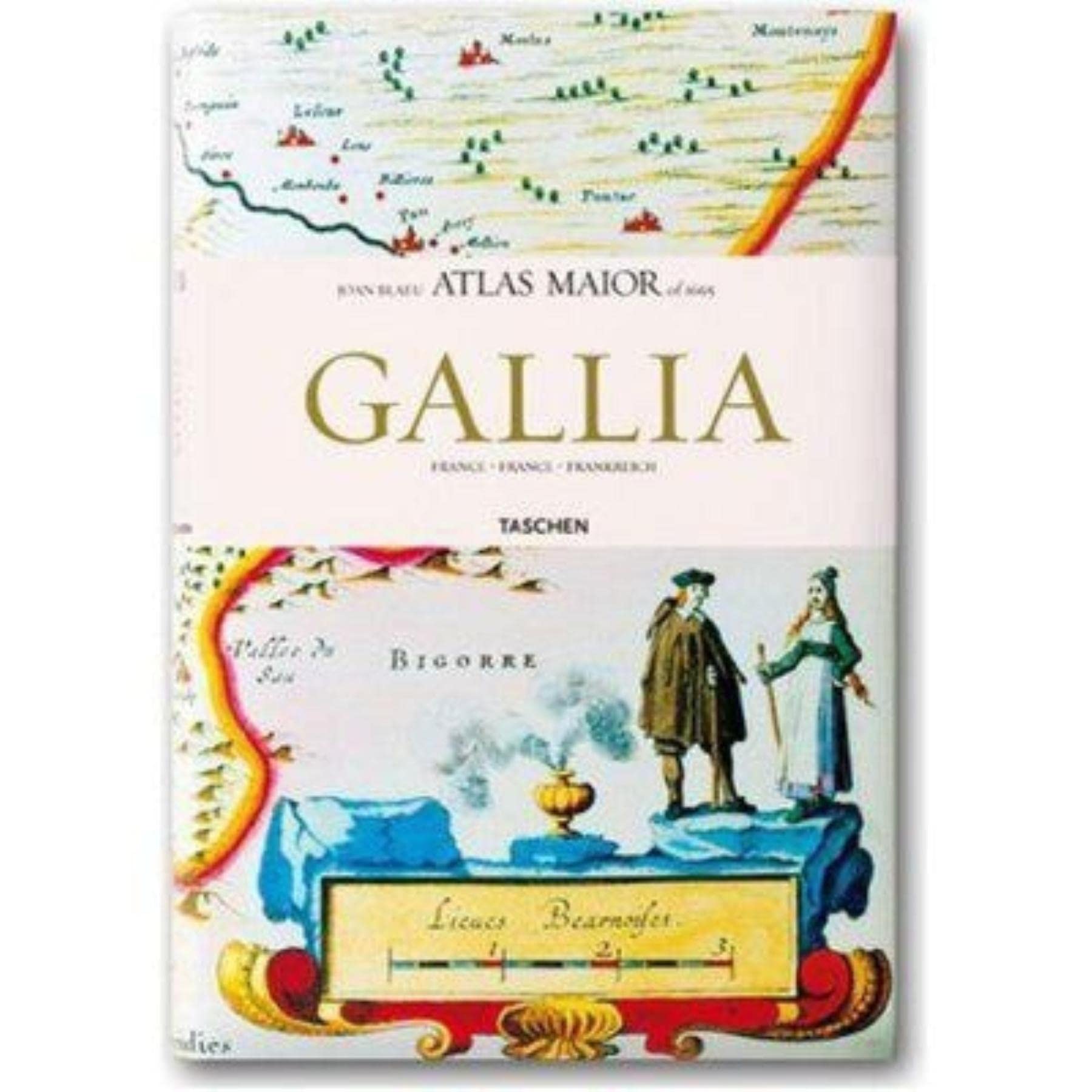
Maps of France from Joan Blaeu's exquisite world atlas of 1665 The finest and most comprehensive baroque atlas was Joan Blaeu's exceptional Atlas Maior, completed in 1665. The original elevenvolume Latin edition, containing 594 maps, put Blaeu ahead of his staunch competitor, mapmaker Joanes Janssonius, whose rivalry inspired Blaeu to produce a grandiose edition of the largest and most complete atlas to date. Covering Arctica, Europe, Africa, Asia, and America, Blaeu's Atlas Maior was a remarkable achievement and remains to this day one of history's finest examples of mapmaking. This reprint, including all 64 maps of France, is made from the National Library of Vienna's colored, goldheightened copy, thus assuring the best possible detail and quality. Alongside original quotes from Joan Blaeu relating to the individual maps, the new text by Peter van der Krogt explains the historical and cultural associations and introduces the reader into the fascinating world of early modern cartography. The text is in French, English and German. The author: Peter van der Krogt, the leading expert in the field of Dutch atlases, is a collaborator on the Explokart Research Program for the History of Cartography at the University of Utrecht's Faculty of Geosciences. Since 1990 he has been working on Koeman's Atlantes Neerlandici, the cartobibliography of atlases published in the Netherlands. His second project is the compilation, in cooperation with the Nijmegen University, of an illustrated and annotated catalogue of the Atlas BlaeuVan der Hem, the most important multivolume atlas preserved in the Austrian National Library, which was added to Unesco's ?Memory of the World? register in 2004.
⚠️ WARNING (California Proposition 65):
This product may contain chemicals known to the State of California to cause cancer, birth defects, or other reproductive harm.
For more information, please visit www.P65Warnings.ca.gov.