
Title
London Az Street Atlas Historical Edition
Sold by Ergodebooks, an authorized reseller.
Returns accepted within 30 days | support@ergodebooks.com
Shipping Information
- Free Standard Shipping — United States only
- Processing Time: 3–5 business days
- Estimated Delivery: 6–10 business days after dispatch
- Double-boxed, fully insured & discreetly packaged
- Tracking number sent via email once dispatched
Returns & Refund
Returns accepted within 30 days of delivery.
Damaged or Defective Item
Free return shipping + replacement or full refund
Wrong Item Received
Free return shipping + replacement or full refund
Change of Mind
Return shipping at customer's expense · 25% restocking fee applies
Payment Option

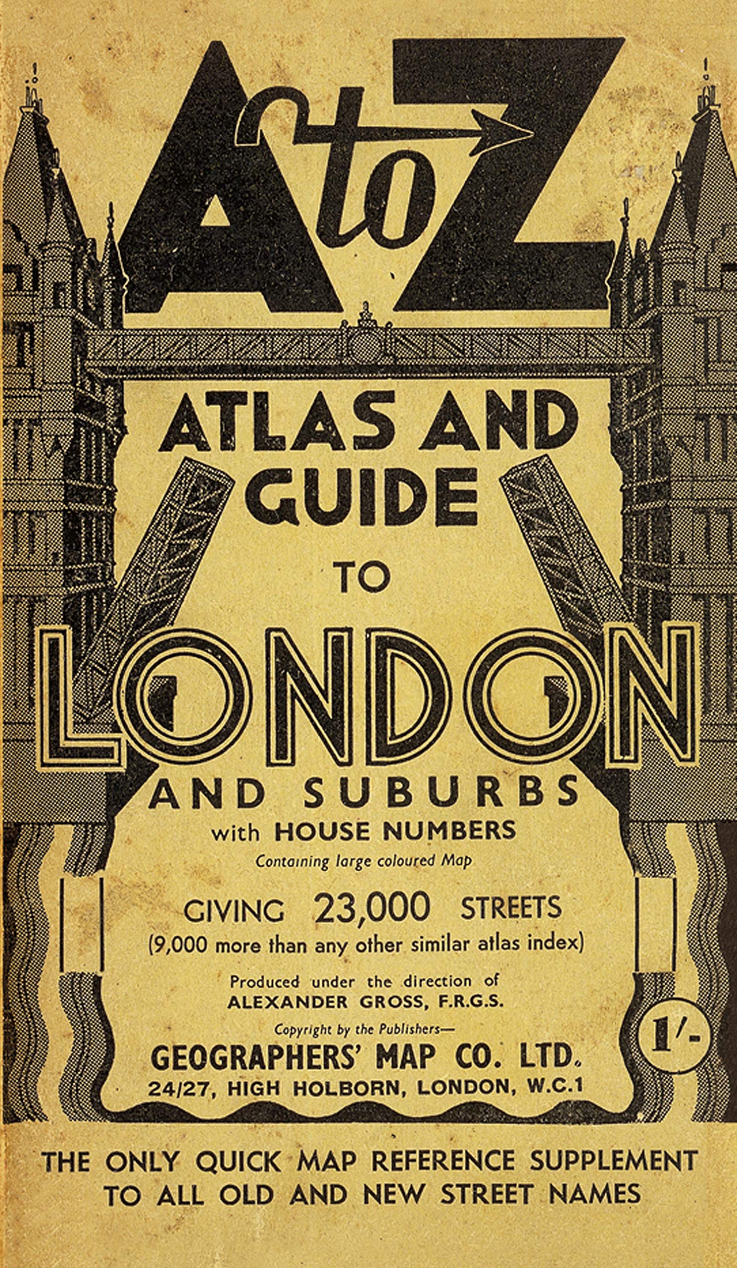
As A Facsimile Reproduction Of The A To Z London Street Atlas, Circa 1938/39, This Publication Shows Street Mapping Of London As It Was Before The Second World War Bombing And The Redevelopments That Followed And May Be Of Assistance In Tracing Family History For That Period.The Coverage Extends From Central London To Edgware, Whetstone, Palmers Green, Edmonton, Walthamstow, Snaresbrook, Seven Kings, Barking, Silvertown, Plumstead, Kidbrooke, Bellingham, South Sydenham, Croydon, Streatham Common, Morden, Wimbledon Common, Twickenham, Richmond, Kew, Hanwell, Ealing Broadway, Wembley, Harrow And Wealdstone. Included Within The Atlas Is A Map Of The Underground Railways Of London And Suburbs And Location Maps Of Theatreland, Cinemaland, Clubland And The Main Shopping Centres. The Guide To Places Of Interest Section Includes A Location Map And Text Giving A Summary Of Each Selected Place Of Interest With Opening Times And Admission Charges. The Index To Streets Section Includes A List Of The London County Council Street Name Changes Relevant At That Time.A Foldout Coloured Pictorial Map Of Central London Is Attached To The Inside Back Cover And This Map Features The Locations Of Principal Landmarks And Places Of Interest Using Three Dimensional Drawings.The Original Printing Of This Paperback Street Atlas Before The Second World War Was In Black Only; However, This Facsimile Reproduction Has Been Printed In Colours Which Simulate The Current Condition After Its Ageing Over Many Years.The Atlas Is Supplied In A Stout Protective Slipcase.Save 20% Off The Rrp When You Buy Our Special Offer Package Of The Bedsitter To Household Name Together With The 1938 Az Historical London, A Saving Of 3.98.The Beginninggeographers' Map Company Was Founded In 1936 By Phyllis Pearsall Mbe (19061996) Who, Encouraged By Her Father Alexander Gross, Took On The Ambitious Task Of Publishing Uptodate Street Mapping Of London. This Historical Edition Is A Facsimile Reproduction Of One Of Her First Publications Featuring The Now Renowned A To Z Logo On The Front Cover.
⚠️ WARNING (California Proposition 65):
This product may contain chemicals known to the State of California to cause cancer, birth defects, or other reproductive harm.
For more information, please visit www.P65Warnings.ca.gov.
- Q: What are the dimensions of the London A-Z Street Atlas? A: The dimensions of the London A-Z Street Atlas are four point two one inches in length, one inch in width, and seven point two four inches in height.
- Q: How many pages does the London A-Z Street Atlas have? A: The London A-Z Street Atlas contains two hundred forty-eight pages, providing extensive coverage of historical London.
- Q: What type of binding does the London A-Z Street Atlas have? A: The London A-Z Street Atlas is bound in paperback, making it lightweight and easy to handle.
- Q: Who is the author of the London A-Z Street Atlas? A: The author of the London A-Z Street Atlas is Geographers' A-Z Map Company, known for their detailed cartographic works.
- Q: Is the London A-Z Street Atlas suitable for tracing family history? A: Yes, the London A-Z Street Atlas is useful for tracing family history, showcasing street mapping from before the Second World War.
- Q: What additional features are included in the London A-Z Street Atlas? A: The atlas includes a foldout coloured Pictorial Map, an index of street name changes, and a Guide to Places of Interest.
- Q: How can I preserve the London A-Z Street Atlas in good condition? A: To keep the London A-Z Street Atlas in good condition, store it in a cool, dry place and protect it with the stout slipcase provided.
- Q: Can the London A-Z Street Atlas be used for educational purposes? A: Yes, the London A-Z Street Atlas can be used for educational purposes, especially for studies related to geography and history.
- Q: Is there a protective case included with the London A-Z Street Atlas? A: Yes, the London A-Z Street Atlas comes with a stout protective slipcase to ensure its longevity.
- Q: What is the historical significance of the London A-Z Street Atlas? A: The London A-Z Street Atlas is a facsimile reproduction of a map from nineteen thirty-eight and showcases pre-war London.
- Q: What makes the London A-Z Street Atlas different from modern maps? A: The London A-Z Street Atlas differs from modern maps by presenting historical street layouts and features that existed before redevelopment.
- Q: Does the London A-Z Street Atlas include public transport maps? A: Yes, the atlas includes a map of the Underground Railways of London and its suburbs for easy navigation.
- Q: What landmarks are highlighted in the London A-Z Street Atlas? A: The atlas highlights principal landmarks and places of interest using three-dimensional drawings on the foldout map.
- Q: Can I get a discount when purchasing the London A-Z Street Atlas? A: Yes, you can save twenty percent off the RRP by purchasing the special offer package that includes another book.
- Q: Is the London A-Z Street Atlas suitable for children? A: Yes, the London A-Z Street Atlas can be suitable for children, especially for educational exploration of historical geography.