
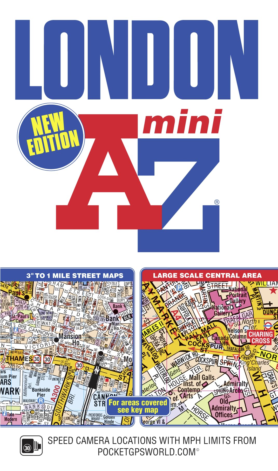
Title

London Mini AZ Street Atlas (paperback),Used
Sold by Ergodebooks, an authorized reseller.
Returns accepted within 30 days | support@ergodebooks.com
Shipping Information
- Free Standard Shipping — United States only
- Processing Time: 3–5 business days
- Estimated Delivery: 6–10 business days after dispatch
- Double-boxed, fully insured & discreetly packaged
- Tracking number sent via email once dispatched
Returns & Refund
Returns accepted within 30 days of delivery.
Damaged or Defective Item
Free return shipping + replacement or full refund
Wrong Item Received
Free return shipping + replacement or full refund
Change of Mind
Return shipping at customer's expense · 25% restocking fee applies
Payment Option

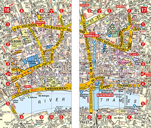
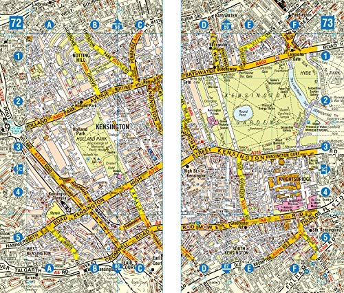
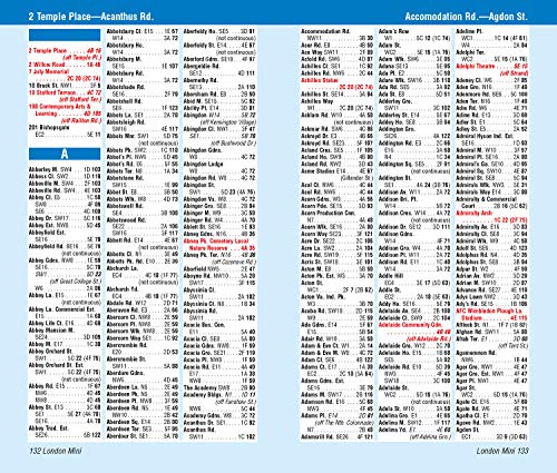
This pocket sized AZ Mini map of Central London is a full colour, paperback street atlas covering an area extending from the centre of London to:Brent CrossGolders GreenHighgateFinsbury ParkStoke NewingtonLeytonstoneWansteadWest HamThames Flood BarrierElthamGrove ParkCatfordStreathamWimbledonBarnes BridgeWillesden JunctionNeasdenIn addition, there is a largescale street map section of the inner London area which extends north to Regent's Park and Shoreditch, south to London Victoria station and Lambeth, west to Hyde Park and east to Tower Bridge.Oneway streets and safety camera locations with their maximum speed limit are featured on both scales of street mapping.The congestion charging zone boundary is shown on both scales of mapping and there is also an overview map of the congestion charging zone. The London Underground Map is featured within the atlas and on the outside back cover is a central London Underground Map.The comprehensive index lists streets, selected flats, walkways and places of interest, place, area and junction names. There are separate index listings for both hospitals, walkin centres and hospices and for the National Rail, London Tramlink, Docklands Light Railway, London Underground and Overground stations and River Bus piers covered by this atlas.
⚠️ WARNING (California Proposition 65):
This product may contain chemicals known to the State of California to cause cancer, birth defects, or other reproductive harm.
For more information, please visit www.P65Warnings.ca.gov.