
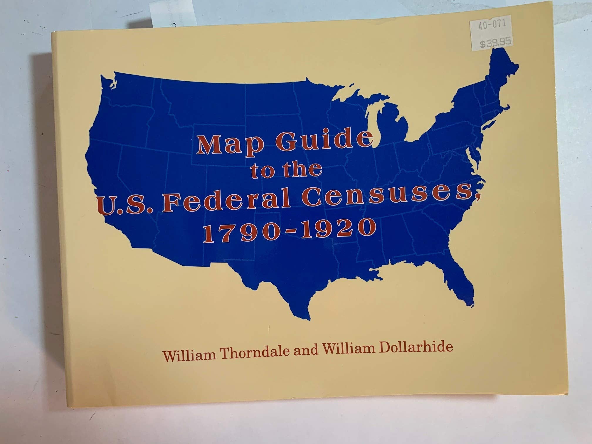
Title
Map Guide to the U.S. Federal Censuses, 17901920,New
Sold by Ergodebooks, an authorized reseller.
Returns accepted within 30 days | support@ergodebooks.com
Shipping Information
- Free Standard Shipping — United States only
- Processing Time: 3–5 business days
- Estimated Delivery: 6–10 business days after dispatch
- Double-boxed, fully insured & discreetly packaged
- Tracking number sent via email once dispatched
Returns & Refund
Returns accepted within 30 days of delivery.
Damaged or Defective Item
Free return shipping + replacement or full refund
Wrong Item Received
Free return shipping + replacement or full refund
Change of Mind
Return shipping at customer's expense · 25% restocking fee applies
Payment Option

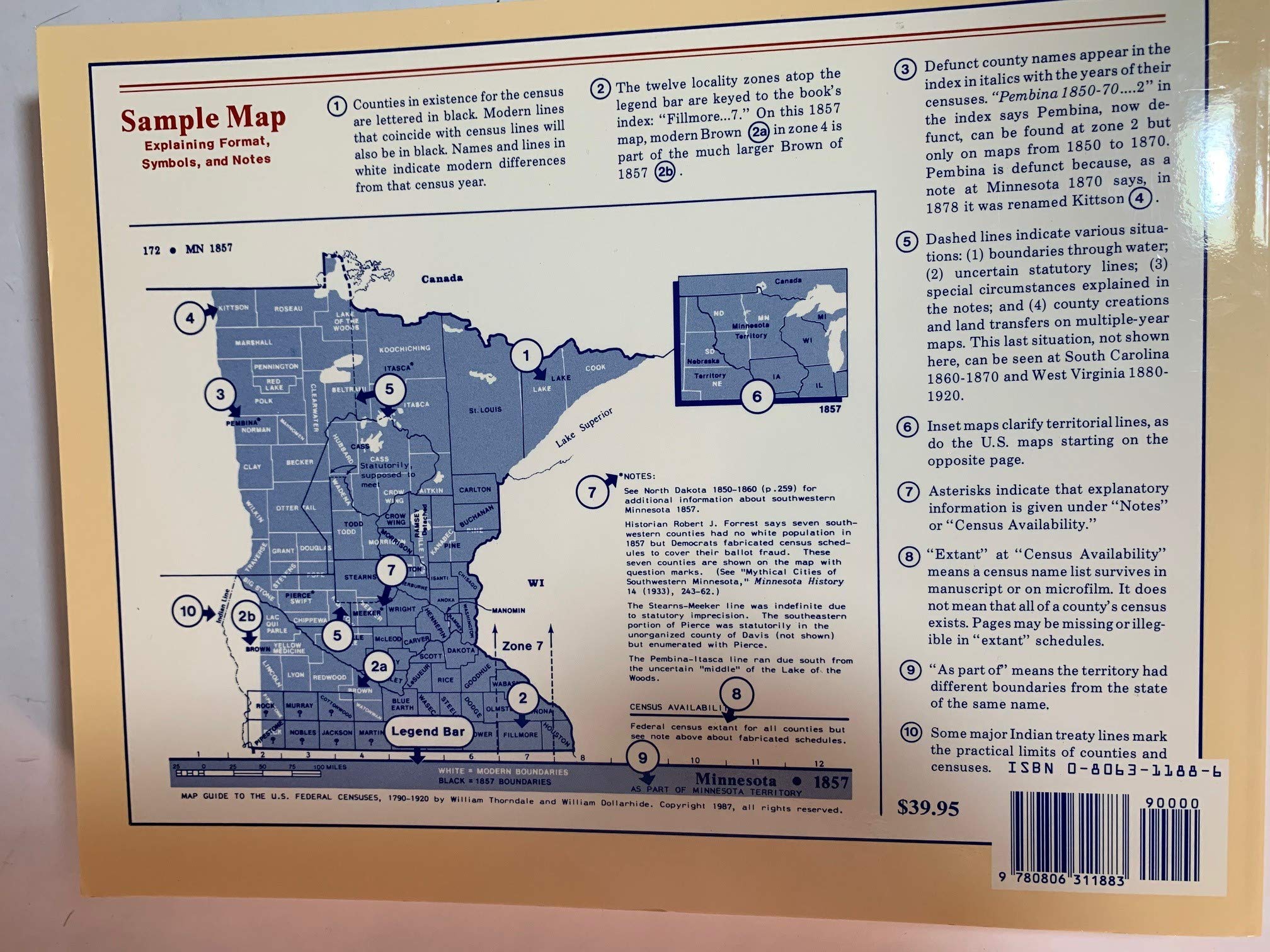
The county has always been used as the basic Federal census unit. Genealogical research in the census, therefore, begins with identifying the correct county jurisdictions. This work shows all U.S. county boundaries from 1790 to 1920. On each of the nearly 400 maps the old county lines are superimposed over the modern ones to highlight the boundary changes at tenyear intervals. Also included are (1) a history of census growth; (2) the technical facts about each census; (3) a discussion of census accuracy; (4) an essay on available sources for each state's old county lines; and (5) a statement with each map indicating which county census lines exist and which are lost. Then there is an index listing all presentday counties, plus nearly all defunct counties or counties later renamed. With each map there is data on boundary changes, notes about the census, and locality finding keys. There also are inset maps that clarify territorial lines, a statebystate bibliography of sources, and an appendix outlining pitfalls in mapping county boundaries. The detail in this work is exhaustive and of such impeccable standards that there is little wonder why this awardwinning publication is the number one tool in U.S. census research.
⚠️ WARNING (California Proposition 65):
This product may contain chemicals known to the State of California to cause cancer, birth defects, or other reproductive harm.
For more information, please visit www.P65Warnings.ca.gov.
- Q: What is the main focus of the book 'Map Guide to the U.S. Federal Censuses, 1790-1920'? A: The book focuses on U.S. county boundaries as they relate to Federal censuses from 1790 to 1920, providing historical context and detailed maps to assist genealogical research.
- Q: How many maps are included in this guide? A: The guide includes nearly 400 maps that show county boundaries and changes over the specified time period.
- Q: What additional information is provided alongside the maps? A: In addition to the maps, the book includes a history of census growth, technical facts about each census, discussions on census accuracy, and an index of present-day and defunct counties.
- Q: Is this book suitable for beginners in genealogy? A: Yes, the book is designed to assist both beginners and experienced genealogists by providing clear maps and comprehensive information about county boundaries.
- Q: What type of binding does the book have? A: The book is available in a paperback binding.
- Q: When was 'Map Guide to the U.S. Federal Censuses, 1790-1920' published? A: The book was published in January 1995.
- Q: Does this guide discuss lost county census lines? A: Yes, each map includes information on which county census lines exist and which are lost.
- Q: How many pages does the book have? A: The book contains 445 pages of detailed content.
- Q: Who is the author of this book? A: The author of the book is William Thorndale.
- Q: What is the edition of this book? A: This book is a reprint edition.