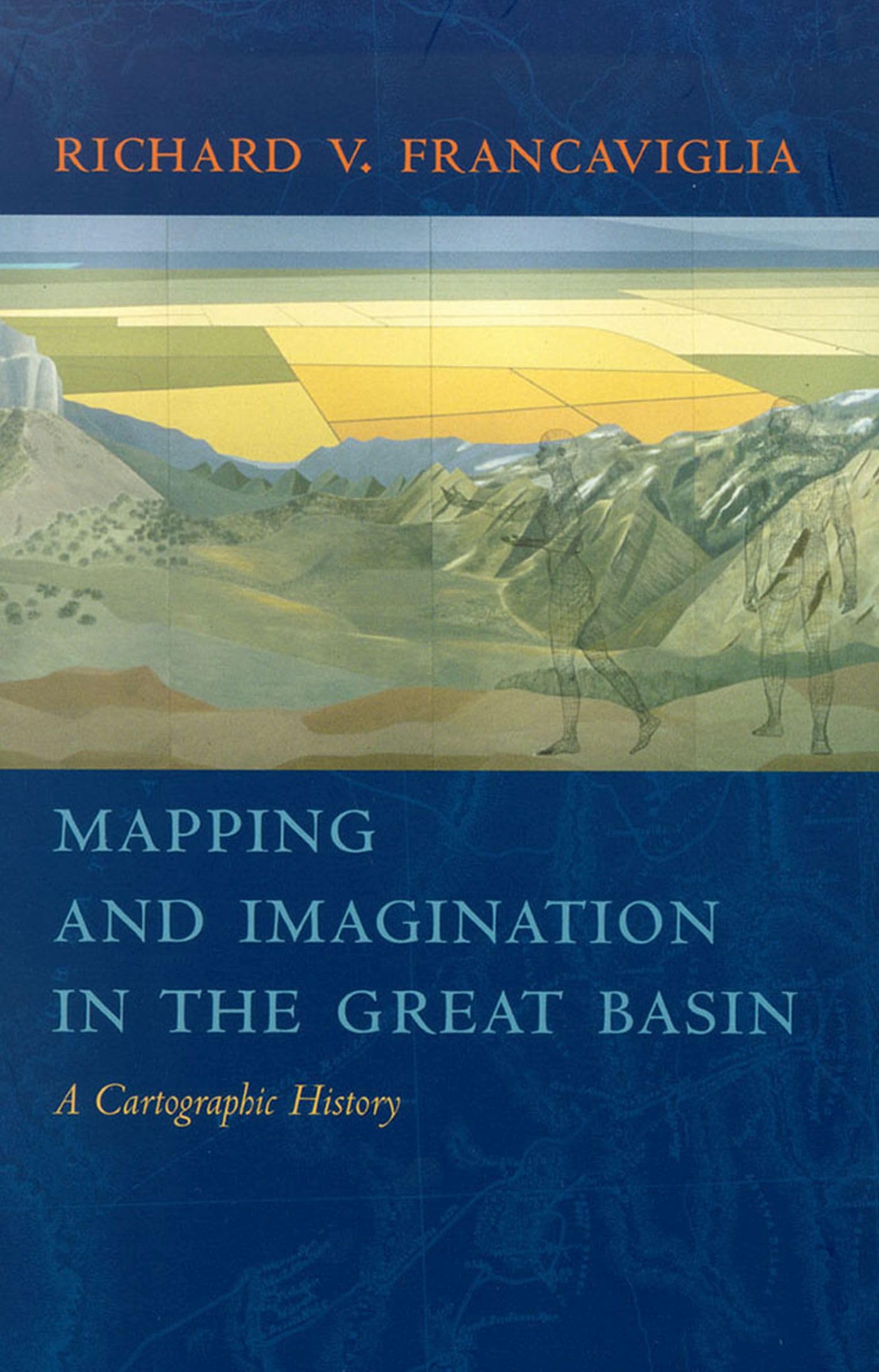
Title

Mapping And Imagination In The Great Basin: A Cartographic History
Processing time: 1-3 days
US Orders Ships in: 3-5 days
International Orders Ships in: 8-12 days
Return Policy: 15-days return on defective items
The Great Basin Was The Last Region Of Continental North America To Be Explored And Mapped, And It Remained Largely A Mystery To Europeanamericans Until Well Into The Nineteenth Century. In Mapping And Imagination In The Great Basin, Geographerhistorian Richard Francaviglia Shows How The Great Basin'S Gradual Emergence From Its Large Cartographic Silence Both Paralleled The Development Of The Sciences Of Surveying, Geology, Hydrology, And Cartography, And Reflected The Changing Geopolitical Aspirations Of The European Colonial Powers And The United States. Francaviglia'S Compelling, Wideranging Discussion Combines An Explanation Of The Physical Realities Of The Great Basin With A Cogent Examination Of The Ways Humans, From Early Native Americans To Nineteenthcentury Surveyors To Twentiethcentury Highway And Air Travelers, Have Understood, Defined, And Organized This Space, Psychologically And Through The Medium Of Maps. And Nations Spain, Mexico, France, England And The Americas And Shows How Their Maps Of The Great Basin Reflected Attitudes And Beliefs About What Lay In The Interior American West. These Maps Run The Gamut, From The Manuscript Maps Of Early Explorers To Printed Maps Used To Promote Rail And Air Travel Across The Great Basin, As Well As Satellite And Computerderived Maps Of The Very Recent Past. This Rich Interdisciplinary Account Of The Mapping Of The Great Basin Combines A Chronicle Of The Exploration Of The Region With A History Of The Art And Science Of Cartography And Of The Political, Economic, And Social Contexts In Which Maps Are Created. The Result Is An Impressive Contribution To The Canon Of American Western History And Of The Evolution And Multifarious Functions Of Maps, Ancient And Modern. Mapping And Imagination In The Great Basin Will Be Irresistible To Historians, Geographers, Lovers Of Maps, And Anyone Who Thrills To The Exploits Of Early Western Explorers.
⚠️ WARNING (California Proposition 65):
This product may contain chemicals known to the State of California to cause cancer, birth defects, or other reproductive harm.
For more information, please visit www.P65Warnings.ca.gov.
- Q: What is the main focus of 'Mapping and Imagination in the Great Basin'? A: The book explores the cartographic history of the Great Basin, detailing how this region was mapped and understood over time, particularly from the perspectives of various explorers and surveyors.
- Q: Who is the author of this book? A: The author is Richard V. Francaviglia, a geographer-historian known for his work on the history of cartography and exploration.
- Q: What are the key themes discussed in the book? A: Key themes include the evolution of cartographic practices, the interplay between exploration and geopolitical ambitions, and the cultural perceptions of the Great Basin throughout history.
- Q: How many pages does the book have? A: The book contains 256 pages.
- Q: What type of binding does this book have? A: This book is published in paperback binding.
- Q: When was 'Mapping and Imagination in the Great Basin' published? A: The book was published on March 7, 2005.
- Q: What can readers expect to learn from this book? A: Readers can expect to gain insights into the historical context of the Great Basin's mapping, the technological advancements in cartography, and a comprehensive understanding of how various cultures have interacted with this landscape.
- Q: Is the book suitable for casual readers or only for academics? A: While it offers in-depth historical and geographical analysis, the engaging writing style makes it accessible to both casual readers and academics interested in American Western history.
- Q: What unique perspectives does the author provide in the book? A: The author combines historical narratives with a critical examination of how maps reflect human understanding of geography, offering perspectives from early Native Americans to modern travelers.
- Q: Are there illustrations or maps included in the book? A: Yes, the book includes various illustrations and maps that support the textual analysis and enhance the reader's understanding of the cartographic history discussed.

