
Title
Mapping Latin America: A Cartographic Reader,Used
Sold by Ergodebooks, an authorized reseller.
Returns accepted within 30 days | support@ergodebooks.com
Shipping Information
- Free Standard Shipping — United States only
- Processing Time: 3–5 business days
- Estimated Delivery: 6–10 business days after dispatch
- Double-boxed, fully insured & discreetly packaged
- Tracking number sent via email once dispatched
Returns & Refund
Returns accepted within 30 days of delivery.
Damaged or Defective Item
Free return shipping + replacement or full refund
Wrong Item Received
Free return shipping + replacement or full refund
Change of Mind
Return shipping at customer's expense · 25% restocking fee applies
Payment Option

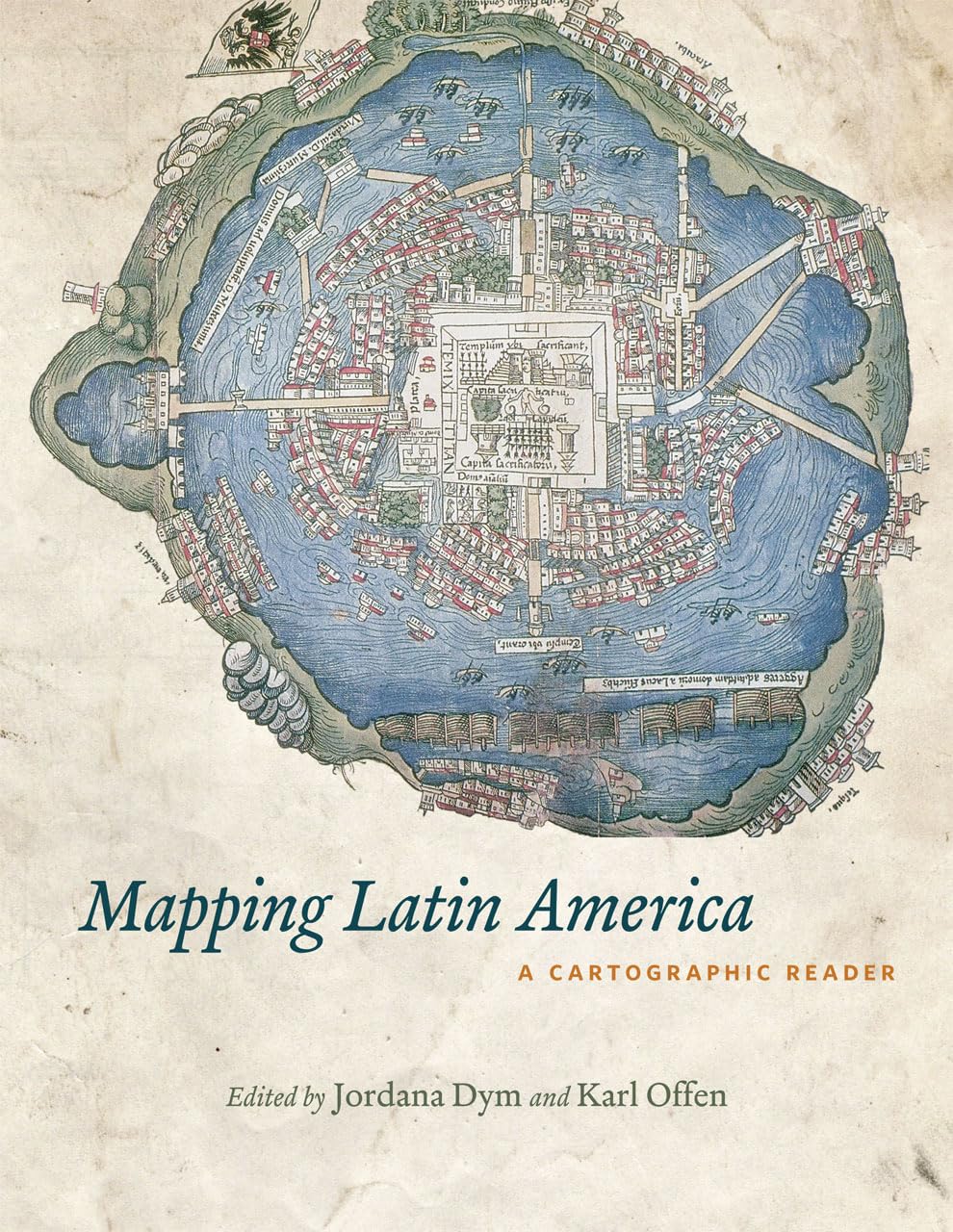
For many, a map is nothing more than a tool used to determine the location or distribution of somethinga country, a city, or a natural resource. But maps reveal much more: to really read a map means to examine what it shows and what it doesnt, and to ask who made it, why, and for whom. The contributors to this new volume ask these sorts of questions about maps of Latin America, and in doing so illuminate the ways cartography has helped to shape this region from the Rio Grande to Patagonia.In Mapping Latin America,Jordana Dym and Karl Offen bring together scholars from a wide range of disciplines to examine and interpret more than five centuries of Latin American maps.Individual chapters take on maps of every size and scale and from a wide variety of mapmakersfrom the handdrawn maps of Native Americans, to those by famed explorers such as Alexander von Humboldt, to those produced in todays newspapers and magazines for the general public. The maps collected here, and the interpretations that accompany them, provide an excellent source to help readers better understand how Latin American countries, regions, provinces, and municipalities came to be defined, measured, organized, occupied, settled, disputed, and understoodthat is, how they came to have specific meanings to specific people at specific moments in time.The first book to deal with the broad sweep of mapping activities across Latin America, this lavishly illustrated volume will be required reading for students and scholars of geography and Latin American history, and anyone interested in understanding the significance of maps in human cultures and societies.
⚠️ WARNING (California Proposition 65):
This product may contain chemicals known to the State of California to cause cancer, birth defects, or other reproductive harm.
For more information, please visit www.P65Warnings.ca.gov.
- Q: What is the main focus of 'Mapping Latin America: A Cartographic Reader'? A: The book examines the role of maps in shaping the understanding of Latin America over more than five centuries, discussing the implications of mapmaking and interpretation from various perspectives.
- Q: Who are the authors of this book? A: The book is authored by Jordana Dym and Karl Offen, who have gathered contributions from various scholars across different disciplines.
- Q: What type of maps does the book cover? A: It covers a wide range of maps, including hand-drawn maps by Native Americans, maps created by explorers like Alexander von Humboldt, and contemporary maps found in newspapers and magazines.
- Q: How many pages does the book have? A: The book contains 358 pages, providing a comprehensive look at cartographic history in Latin America.
- Q: What is the publication date of this book? A: The book was published on September 28, 2011.
- Q: Is 'Mapping Latin America' suitable for casual readers? A: Yes, while it is required reading for students and scholars, it is also accessible to anyone interested in the significance of maps in human cultures.
- Q: What type of binding does the book have? A: The book is available in paperback binding.
- Q: Is there any specific edition of this book? A: Yes, this is an illustrated edition, which enhances the understanding of the content through visual representation.
- Q: What subjects does this book cover? A: It covers subjects related to geography, cartography, and Latin American history, providing insights into how maps have influenced perceptions of the region.
- Q: What makes this book unique compared to other cartography books? A: This book uniquely addresses the broad sweep of mapping activities across Latin America, incorporating various scholarly perspectives and interpretations.