
Title
Mapping Wonderlands: Illustrated Cartography of Arizona, 19121962,Used
Sold by Ergodebooks, an authorized reseller.
Returns accepted within 30 days | support@ergodebooks.com
Shipping Information
- Free Standard Shipping — United States only
- Processing Time: 3–5 business days
- Estimated Delivery: 6–10 business days after dispatch
- Double-boxed, fully insured & discreetly packaged
- Tracking number sent via email once dispatched
Returns & Refund
Returns accepted within 30 days of delivery.
Damaged or Defective Item
Free return shipping + replacement or full refund
Wrong Item Received
Free return shipping + replacement or full refund
Change of Mind
Return shipping at customer's expense · 25% restocking fee applies
Payment Option

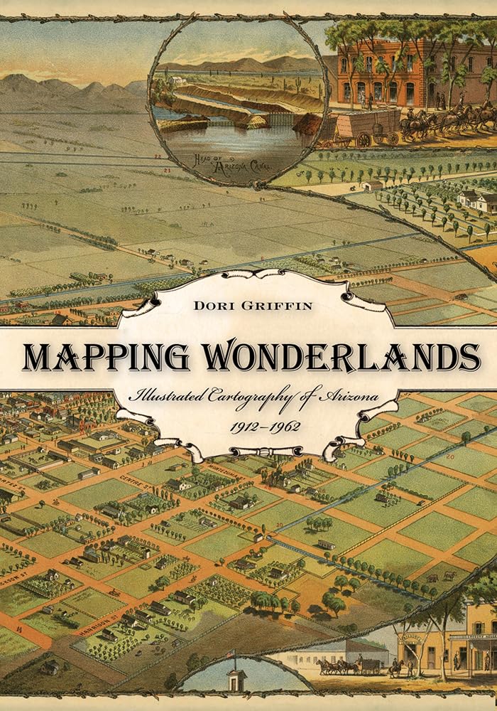
Though tourism now plays a recognized role in historical research and regional studies, the study of popular touristic images remains sidelined by chronological histories and objective statistics. Further, Arizona remains underexplored as an early twentiethcentury tourism destination when compared with nearby California and New Mexico. With the notable exception of the Grand Canyon, little has been written about tourism in the early days of Arizonas statehood.Mapping Wonderlands fills part of this gap in existing regional studies by looking at early popular pictorial maps of Arizona. These cartographic representations of the state utilize formal mapmaking conventions to create a placebased state history. They introduce illustrations, unique naming conventions, and written narratives to create carefully visualized landscapes that emphasize the touristic aspects of Arizona.Analyzing the visual culture of tourism in illuminating detail, this book documents how Arizona came to be identified as an appealing tourism destination. Providing a historically situated analysis, Dori Griffin draws on samples from a comprehensive collection of materials generated to promote tourism during Arizonas first halfcentury of statehood. She investigates the relationship between natural and constructed landscapes, visual culture, and narratives of place. Featuring sixtysix examples of these aesthetically appealing maps, the book details how such maps offered tourists and other users a cohesive and storied image of the state. Using historical documentation and rhetorical analysis, this book combines visual design and historical narrative to reveal how earlytwentiethcentury mapmakers and map users collaborated to imagine Arizona as a tourists paradise.
⚠️ WARNING (California Proposition 65):
This product may contain chemicals known to the State of California to cause cancer, birth defects, or other reproductive harm.
For more information, please visit www.P65Warnings.ca.gov.