
Title
National Geographic: Britain and Ireland Executive Wall Map (23.5 x 30.25 inches) (National Geographic Reference Map),Used
Sold by Ergodebooks, an authorized reseller.
Returns accepted within 30 days | support@ergodebooks.com
Shipping Information
- Free Standard Shipping — United States only
- Processing Time: 3–5 business days
- Estimated Delivery: 6–10 business days after dispatch
- Double-boxed, fully insured & discreetly packaged
- Tracking number sent via email once dispatched
Returns & Refund
Returns accepted within 30 days of delivery.
Damaged or Defective Item
Free return shipping + replacement or full refund
Wrong Item Received
Free return shipping + replacement or full refund
Change of Mind
Return shipping at customer's expense · 25% restocking fee applies
Payment Option

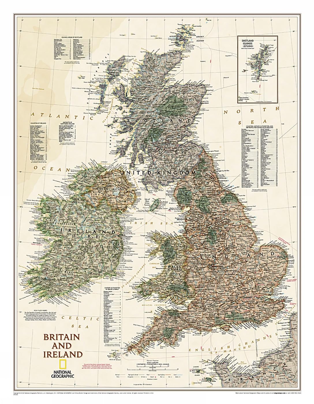
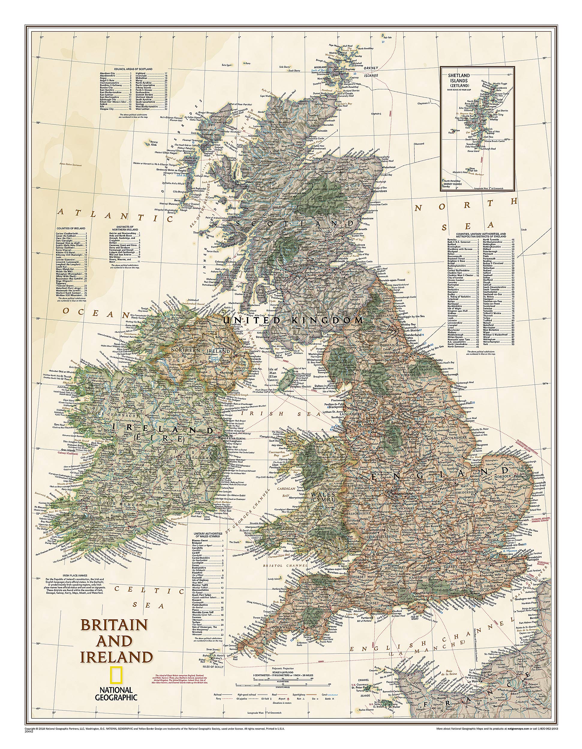
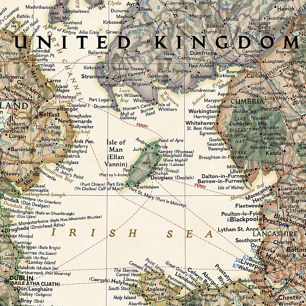
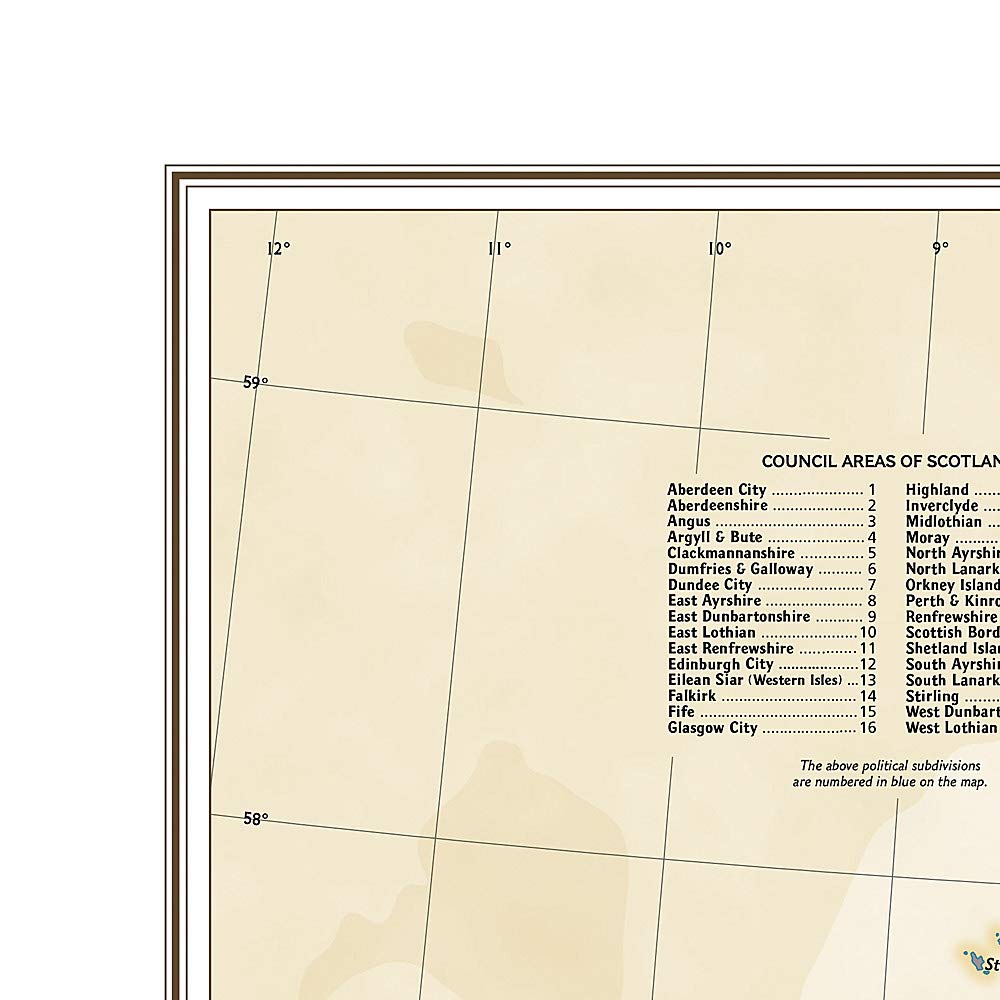
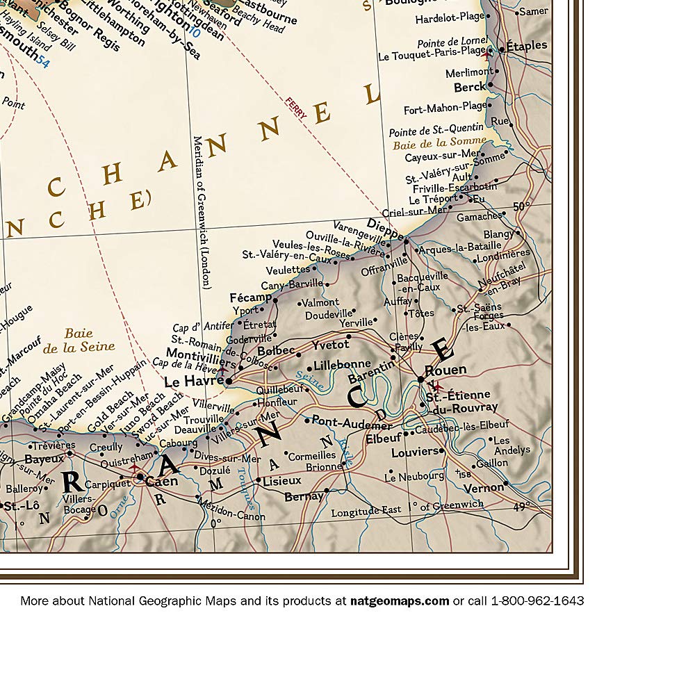
National Geographic's Executive political map of Britain and Ireland is both an attractive addition to any study or classroom and an informative tool for exploring these fascinating countries. The map features thousands of place names, major highways and roads, airports, ferry routes, bodies of water, and more. Handy indexes make it easy to identify the counties, districts, council areas, unitary authorities, and metropolitan districts of Ireland, Northern Ireland, Scotland, Wales, and England. An inset provides detail of the Shetland Islands. National parks are clearly indicated in green vignettes, and shaded relief reveals the interesting and varied topography of these island nations.English and Gaelic (Irish) share official status per the Republic of Ireland's constitution, so place names are rendered in both. In the Gaeltachtl, or predominantly Irishspeaking regions, only Irish placenames have official status and are used on signposts. These districts are found within the counties of Cork, Donegal, Galway, Kerry, Mayo, Meath, and Waterford.The map is packaged in a two inch diamater clear plastic tube. The tube has a decorative label showing a thumbnail of the map with dimensions and other pertinent information. Map Scale = 1:1,679,000 Sheet Size = 23.5" x 30.25"
⚠️ WARNING (California Proposition 65):
This product may contain chemicals known to the State of California to cause cancer, birth defects, or other reproductive harm.
For more information, please visit www.P65Warnings.ca.gov.