
Title
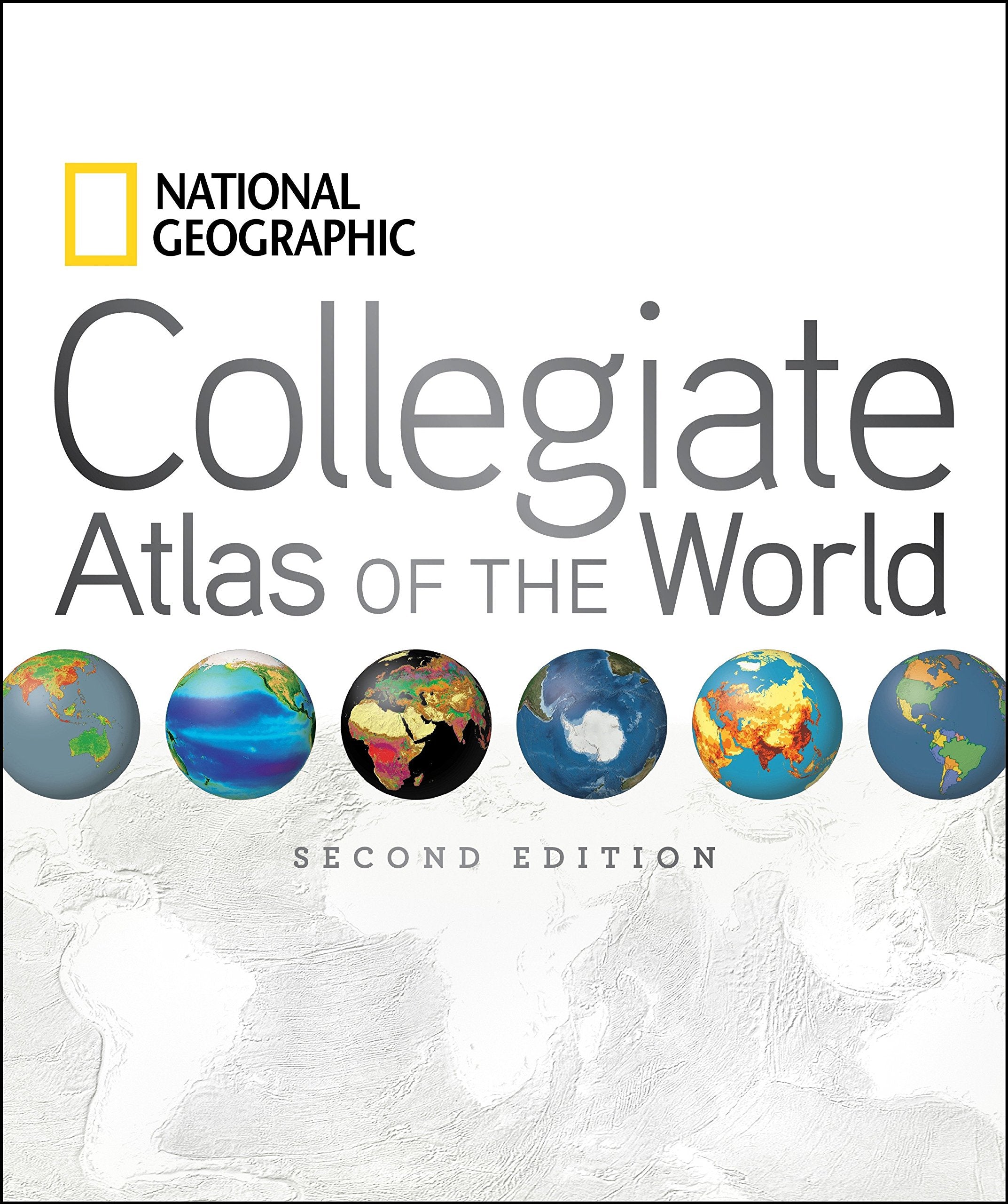
National Geographic Collegiate Atlas of the World, 2nd Edition,Used
Sold by Ergodebooks, an authorized reseller.
Returns accepted within 30 days | support@ergodebooks.com
Shipping Information
- Free Standard Shipping — United States only
- Processing Time: 3–5 business days
- Estimated Delivery: 6–10 business days after dispatch
- Double-boxed, fully insured & discreetly packaged
- Tracking number sent via email once dispatched
Returns & Refund
Returns accepted within 30 days of delivery.
Damaged or Defective Item
Free return shipping + replacement or full refund
Wrong Item Received
Free return shipping + replacement or full refund
Change of Mind
Return shipping at customer's expense · 25% restocking fee applies
Payment Option

Two opening spreads in the front matter help the reader to better interpret images and new data. 'Remote World' introduces readers to data collection via remote sensing and GPS technology. 'Understanding Our World Spatially' follows, covering data processing and analysis as it relates to mapping and using GIS technology (Geographic Information Systems). These explanatory introductory pieces provide the foundation for students to gain insight into modernday map making, which is reflected in the content of the colorful, engaging, factfilled spreads that lie ahead.The atlas also addresses the traditional subjects of map scales, projections, and map reading skills. Based on feedback from more than 100 professors, educational reviewers, and other consultants, we have added special thematic map spreads addressing each Continental Economy. In additionwithin each continentphysical, political, and regional mapping is presented at the same scale, which allows the reader to compare map information easily and accurately. This feature of a fixed scale for regions provides the reader the option to roam from one end of a continent to its other end, flipping through the pages, while maintaining a constant scale.The atlas is organized as follows:The Front matter with its new spreads on data collection and then data processing.The World: with 25 spreads on Natural and Human themes including: Tectonics, the Biosphere, World Energy, World Health, Nutrition, and Literacy, and Technology and Globilization.The atlas then zooms into Continental coverage:Like the world thematic section, each of these continental parts will cover many important natural and human themes such as climate, natural hazards, income/GDP, and Trade. In addition, core political, regional coverage completes each continent's signature of human boundaries and places.The fascinating polar regions and the vast world oceans come next.Finally, abundant, clear, and precise appendices provide an invaluable back matter, reference section. A 105page, placename index is included as well.Careful selection of placenames and features make the maps very informative but not overly cluttered. Computergenerated shading enhances the look of the political maps while providing valuable information on topography. The ocean floors of the world are dramatically portrayed with bathymetric relief paintings. And lastly, world political information, statistics, geographic comparisons, and glossaries are organized in easytouse sections in the back matterall of this in a manageable, easytohandle, valuepacked, 400page, 9 x 11 format.
⚠️ WARNING (California Proposition 65):
This product may contain chemicals known to the State of California to cause cancer, birth defects, or other reproductive harm.
For more information, please visit www.P65Warnings.ca.gov.