
Title

North Carolina Atlas & Gazetteer (Delorme Atlas & Gazetteer),Used
Sold by Ergodebooks, an authorized reseller.
Returns accepted within 30 days | support@ergodebooks.com
Shipping Information
- Free Standard Shipping — United States only
- Processing Time: 3–5 business days
- Estimated Delivery: 6–10 business days after dispatch
- Double-boxed, fully insured & discreetly packaged
- Tracking number sent via email once dispatched
Returns & Refund
Returns accepted within 30 days of delivery.
Damaged or Defective Item
Free return shipping + replacement or full refund
Wrong Item Received
Free return shipping + replacement or full refund
Change of Mind
Return shipping at customer's expense · 25% restocking fee applies
Payment Option

Delorme, A Travel Planning Resource. More Than Just A Great Place To Purchase Delorme Mapping Software, The Earth Mate Gps And Atlas & Gazetteers For Every State. You'Ll Find A Rich Assortment Of Travel Planning Items, Guide Books, Globes, Maps And Atlases Covering The Entire World. Plus Geographyrelated Gift Items For Travelers, Perfect For Graduation, Retirement, Father'S Day, And Holiday Gifts.
⚠️ WARNING (California Proposition 65):
This product may contain chemicals known to the State of California to cause cancer, birth defects, or other reproductive harm.
For more information, please visit www.P65Warnings.ca.gov.
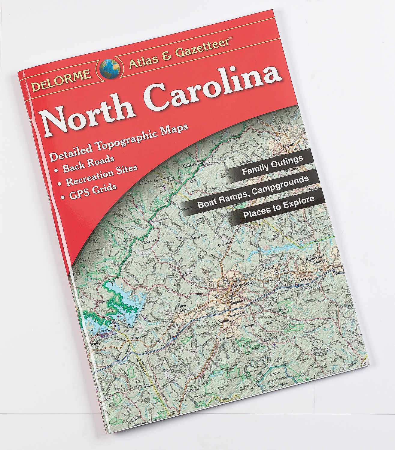
- Q: What are the dimensions of the North Carolina Atlas & Gazetteer? A: The atlas measures eleven inches in length, fifteen point five one inches in height, and zero point five one inches in width. These dimensions make it easy to carry and store.
- Q: How many pages does the North Carolina Atlas & Gazetteer have? A: The atlas contains eighty-eight pages. This extensive content covers detailed maps and travel planning resources.
- Q: What type of binding does this atlas use? A: The North Carolina Atlas & Gazetteer is paperback bound. This makes it lightweight and convenient for travel.
- Q: How do I use the North Carolina Atlas & Gazetteer? A: To use the atlas, simply open it to the desired page and refer to the detailed maps. It's designed for easy navigation and planning.
- Q: Is this atlas suitable for children? A: Yes, the atlas is suitable for children with adult supervision. It serves as an educational resource for geography and outdoor activities.
- Q: Can I use this atlas for hiking and outdoor activities? A: Yes, the atlas includes back roads and recreational areas. It's perfect for planning hikes and exploring North Carolina's landscapes.
- Q: How should I store the North Carolina Atlas & Gazetteer? A: Store the atlas in a cool, dry place to prevent damage. Keeping it in a bookcase or storage bag will help maintain its condition.
- Q: Can I clean the North Carolina Atlas & Gazetteer? A: Yes, you can gently wipe the cover with a soft, damp cloth. Avoid using harsh chemicals that may damage the pages.
- Q: Is this atlas a good gift for travelers? A: Yes, it makes an excellent gift for travelers and geography enthusiasts. It's perfect for occasions like graduations and holidays.
- Q: What should I do if the atlas arrives damaged? A: If the atlas arrives damaged, contact customer service for assistance. They will guide you through the return or exchange process.
- Q: Is there a warranty for the North Carolina Atlas & Gazetteer? A: There is no specific warranty for this book. However, customer satisfaction policies may apply for returns.
- Q: How does this atlas compare to other travel guides? A: The North Carolina Atlas & Gazetteer offers detailed maps and back road information, making it more comprehensive than standard travel guides.
- Q: Can I use this atlas for road trips? A: Yes, the atlas is ideal for road trips due to its detailed maps and coverage of lesser-known routes.
- Q: Is this atlas updated with current information? A: Yes, the North Carolina Atlas & Gazetteer includes current mapping information and recreational area details.
- Q: What kind of features does the North Carolina Atlas & Gazetteer have? A: The atlas features elevation contours and includes back roads, making it useful for outdoor enthusiasts.
- Q: Is the North Carolina Atlas & Gazetteer easy to read? A: Yes, it is designed to be user-friendly with clear, easy-to-read maps and labels.