
Title
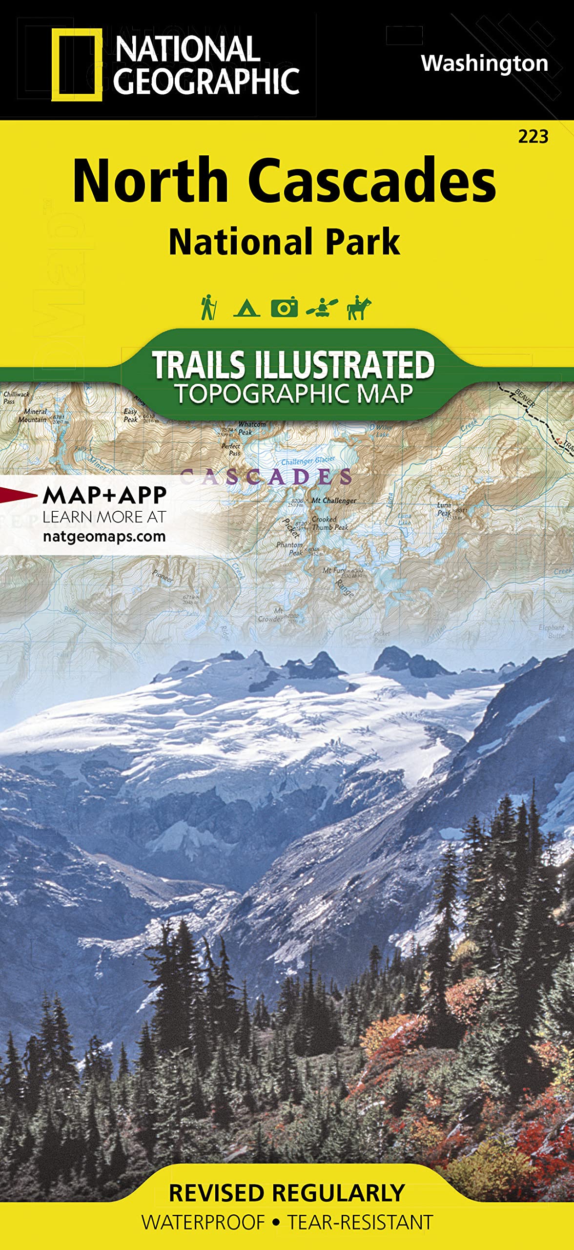
North Cascades National Park Map (National Geographic Trails Illustrated Map, 223)
Sold by Ergodebooks, an authorized reseller.
Returns accepted within 30 days | support@ergodebooks.com
Shipping Information
- Free Standard Shipping — United States only
- Processing Time: 3–5 business days
- Estimated Delivery: 6–10 business days after dispatch
- Double-boxed, fully insured & discreetly packaged
- Tracking number sent via email once dispatched
Returns & Refund
Returns accepted within 30 days of delivery.
Damaged or Defective Item
Free return shipping + replacement or full refund
Wrong Item Received
Free return shipping + replacement or full refund
Change of Mind
Return shipping at customer's expense · 25% restocking fee applies
Payment Option

? Waterproof ? Tearresistant ? Topographic Mapexplore The Alpine Forests, Wild Rivers, Jagged Peaks, And Abundant Glaciers Of North Cascades National Park With National Geographic'S Trails Illustrated Map. Expertly Researched And Created In Partnership With Local Land Management Agencies, This Map Features Key Points Of Interest Including Baker Lake; Rockport State Park; Chelan And Ross Lake National Recreation Areas; Stephen Mather, Mount Baker, And Pasayten Wilderness Areas; Snoqualmie And Okanogan Wenatchee National Forests; And Portions Of The Sauk, Skagit, And Suiattle Rivers.With Miles Of Clearly Marked Trails Including The Popular Pacific Crest And Pacific Northwest Trails, This Map Can Guide You Off The Beaten Path And Back Again. Mileages Between Intersections Are Shown And The Map Base Includes Contour Lines And Elevations For Summits. Helpful Material About Backcountry Use, Regulations, Recreation Activities, And Agency Contact Information Will Assist You In Making The Most Of Your Visit. Recreation Features Noted Include Alpine Ski Areas, Rental Cabins, Lookout Towers, Campgrounds, Interpretive Trails, Boat Launches, Fishing Access, And More.Every Trails Illustrated Map Is Printed On Backcountry Tough Waterproof, Tearresistant Paper. A Full Utm Grid Is Printed On The Map To Aid With Gps Navigation.Other Features Found On This Map Include: Bacon Peak, Baker Lake, Bonanza Peak, Glacier Peak Wilderness, Hidden Lake Peaks, Lake Chelansawtooth Wilderness, Lake Shannon, Miners Ridge, Mount Baker, Mount Baker Wilderness, Mount Buckindy, Mount Challenger, Mount Lago, Mount Logan, Mount Shuksan, Mount Spickard, Mt. Baker National Forest, Noisydiobsud Wilderness, North Cascades, Okanogan National Forest, Pasayten Wilderness, Picket Range, Ross Lake, Sauk River, Snowking Mountain, Suiattle River, Twin Sisters Mountain, Wenatchee National Forest. Map Scale = 1:100,000 Sheet Size = 25.5 X 37.75 Folded Size = 4.25 X 9.25
⚠️ WARNING (California Proposition 65):
This product may contain chemicals known to the State of California to cause cancer, birth defects, or other reproductive harm.
For more information, please visit www.P65Warnings.ca.gov.
- Q: What are the dimensions of the North Cascades National Park Map? A: The North Cascades National Park Map measures twenty-five point five inches by thirty-seven point seven five inches when unfolded and four point two five inches by nine point two five inches when folded.
- Q: How many pages does the North Cascades National Park Map have? A: The map contains two pages, providing detailed information about the area.
- Q: What scale is used on the North Cascades National Park Map? A: The map is created at a scale of one to one hundred thousand, allowing for precise navigation.
- Q: How do I use the North Cascades National Park Map for navigation? A: To use the map effectively, identify your current location and follow the clearly marked trails and contour lines to navigate the area.
- Q: Is the North Cascades National Park Map suitable for beginners? A: Yes, the map is suitable for beginners as it includes marked trails and helpful information for navigation and recreation activities.
- Q: Can I use the North Cascades National Park Map for GPS navigation? A: Yes, the map features a full UTM grid to aid in GPS navigation, enhancing your outdoor experience.
- Q: How should I care for the North Cascades National Park Map to keep it in good condition? A: To maintain the map's condition, store it flat or in the folded position and avoid exposing it to excessive moisture or direct sunlight.
- Q: Is the North Cascades National Park Map waterproof? A: Yes, the map is printed on waterproof material, making it durable and suitable for outdoor use in various weather conditions.
- Q: What should I do if the North Cascades National Park Map arrives damaged? A: If the map arrives damaged, contact the retailer for a return or exchange according to their return policy.
- Q: Does the North Cascades National Park Map include points of interest? A: Yes, the map highlights key points of interest, including Baker Lake, various parks, wilderness areas, and recreational features.
- Q: Can I use the North Cascades National Park Map for hiking? A: Yes, the map is ideal for hiking, as it includes miles of clearly marked trails and important elevation details.
- Q: What recreational features are noted on the North Cascades National Park Map? A: The map notes various recreational features such as campgrounds, interpretive trails, and fishing access points.
- Q: Are there any safety precautions I should consider while using the North Cascades National Park Map? A: Yes, it is important to familiarize yourself with backcountry use regulations and carry the map with you while exploring.
- Q: Does the North Cascades National Park Map provide information about backcountry regulations? A: Yes, the map includes helpful material about backcountry use and regulations, ensuring you are prepared for your visit.
- Q: Is the North Cascades National Park Map suitable for use in winter conditions? A: Yes, the waterproof and tear-resistant material makes it suitable for winter conditions, but always check local weather before venturing out.