
Title
Northern Wind River Range Hikng Map,Used
Sold by Ergodebooks, an authorized reseller.
Returns accepted within 30 days | support@ergodebooks.com
Shipping Information
- Free Standard Shipping — United States only
- Processing Time: 3–5 business days
- Estimated Delivery: 6–10 business days after dispatch
- Double-boxed, fully insured & discreetly packaged
- Tracking number sent via email once dispatched
Returns & Refund
Returns accepted within 30 days of delivery.
Damaged or Defective Item
Free return shipping + replacement or full refund
Wrong Item Received
Free return shipping + replacement or full refund
Change of Mind
Return shipping at customer's expense · 25% restocking fee applies
Payment Option

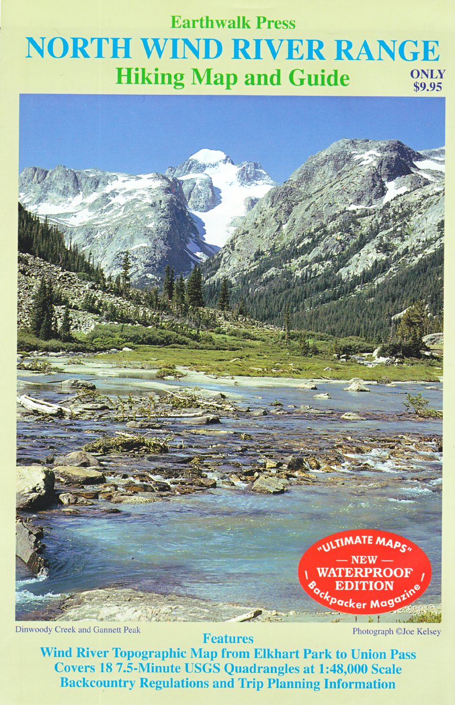
Wind River Topographic Map, from Elkhart Park to Union Pass. It is the equivalent of 18 7.5minute USGS quadrangles. Scaled to 1:48000.Planning trips information and backcountry regulations are included.Printed on waterproof and tear resistant material.
⚠️ WARNING (California Proposition 65):
This product may contain chemicals known to the State of California to cause cancer, birth defects, or other reproductive harm.
For more information, please visit www.P65Warnings.ca.gov.
- Q: What geographic area does the Northern Wind River Range Hiking Map cover? A: The Northern Wind River Range Hiking Map covers the area from Elkhart Park to Union Pass, equivalent to 18 7.5-minute USGS quadrangles.
- Q: What scale is the Northern Wind River Range Hiking Map printed on? A: The map is scaled to 1:48000, providing detailed topographic information.
- Q: Is the Northern Wind River Range Hiking Map waterproof? A: Yes, the map is printed on waterproof and tear-resistant material, making it durable for outdoor use.
- Q: What additional information is included with the Northern Wind River Range Hiking Map? A: The map includes planning trips information and backcountry regulations to assist hikers.
- Q: Who is the author of the Northern Wind River Range Hiking Map? A: The map is authored by Leo Larson.
- Q: When was the Northern Wind River Range Hiking Map published? A: The map was published on March 1, 2009.
- Q: What is the binding type of the Northern Wind River Range Hiking Map? A: The binding type of the map is 'map', designed for easy handling during hikes.
- Q: How many pages does the Northern Wind River Range Hiking Map have? A: The map consists of 2 pages.
- Q: What condition is the Northern Wind River Range Hiking Map in? A: The map is in 'Good' condition, suitable for use.
- Q: What edition is the Northern Wind River Range Hiking Map? A: The map is a revised edition from 2009.