If you have any questions, you are always welcome to contact us. We'll get back to you as soon as possible, withing 24 hours on weekdays.
Customer service
All questions about your order, return and delivery must be sent to our customer service team by e-mail at yourstore@yourdomain.com
Sale & Press
If you are interested in selling our products, need more information about our brand or wish to make a collaboration, please contact us at press@yourdomain.com
Help
If you have any questions, you are always welcome to contact us. We'll get back to you as soon as possible, withing 24 hours on weekdays.
Customer service
All questions about your order, return and delivery must be sent to our customer service team by e-mail at yourstore@yourdomain.com
Sale & Press
If you are interested in selling our products, need more information about our brand or wish to make a collaboration, please contact us at press@yourdomain.com
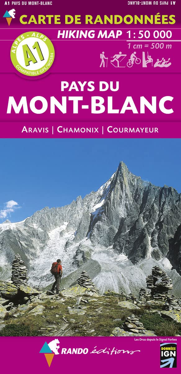
A hiking map of the Mont Blanc area to plan your trip, to prepare your itinerary, and to travel independently in this part of the French dpartement of Savoie.This map provides all the information necessary for mountain sports: crosscountry skiing centres, ski ressorts, horseback riding, paragliding, nautical sports, climbing, mountain biking, handgliding, canoeing, rafting, signposted hiking trail Mont Blanc circuit, Mont Blanc area circuit, signposted route along trail, ice hiking.Touristic information: places of interest, castles, towers, walls, museums, ruins, religious buildings, spas, Highmountain lodge, refuges with keeper, bivouacs, skilifts.This map covers the following localities: Ugine, La Clusaz, Bonneville, Sallanches, SixtFerCheval et Courmayeur (Val dAoste), as well as Mont Buet, Aiguille Verte, Grandes Jorassses, PointePerce, Tte du Colonney, and Mont Charvin.
⚠️ WARNING (California Proposition 65):
This product may contain chemicals known to the State of California to cause cancer,
birth defects, or other reproductive harm.
For MAP (Minimum Advertised Price) violations and Intellectual Property (IP) or Trademark concerns, please contact:
support@ergodebooks.com
⚠️ California Proposition 65 Warning: Some products sold on this website may expose you to chemicals known to the State of California to cause cancer, birth defects, or other reproductive harm. For more information, visit www.P65Warnings.ca.gov.