
Title
Philip's Junior School Atlas 10th Edition,Used
Sold by Ergodebooks, an authorized reseller.
Returns accepted within 30 days | support@ergodebooks.com
Shipping Information
- Free Standard Shipping — United States only
- Processing Time: 3–5 business days
- Estimated Delivery: 6–10 business days after dispatch
- Double-boxed, fully insured & discreetly packaged
- Tracking number sent via email once dispatched
Returns & Refund
Returns accepted within 30 days of delivery.
Damaged or Defective Item
Free return shipping + replacement or full refund
Wrong Item Received
Free return shipping + replacement or full refund
Change of Mind
Return shipping at customer's expense · 25% restocking fee applies
Payment Option

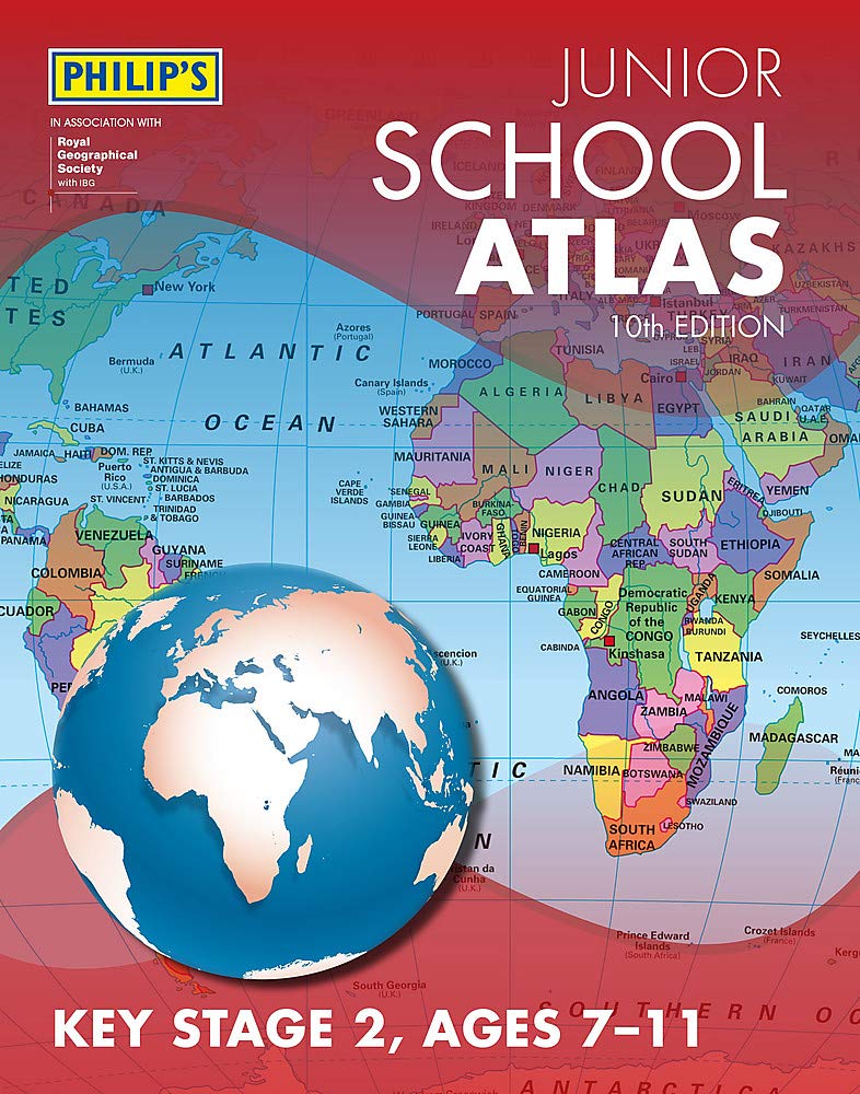
The marketleading atlas for pupils at primary schools, Philip's Junior School Atlas has been fully revised for its 10th edition. It is a stimulating and authoritative first introduction to the world of maps, and is recommended for Key Stage 2 of the National Curriculum.The introductory section describes the meaning of scale, how to measure distances using the maps, and explains the symbols on the maps.The following section is devoted to the United Kingdom and Ireland. Thematic maps cover topics such as mountains and rivers, climate and weather, population and cities, farming and fishing, industry and energy, transport, tourism and conservation. Regional maps of England and Wales, Scotland and Ireland complete this section.The rest of the atlas is made up of world thematic maps and world continental maps. Included are topics such as the world's climate, vegetation, agriculture, energy sources, and environmental concerns, such as global warming.A simple letterfigure index completes the atlas a useful introduction to help the young reader find his/her way around the maps.
⚠️ WARNING (California Proposition 65):
This product may contain chemicals known to the State of California to cause cancer, birth defects, or other reproductive harm.
For more information, please visit www.P65Warnings.ca.gov.