
Title
Portraits Of The Earth: A Mathematician Looks At Maps (Mathematical World)
Sold by Ergodebooks, an authorized reseller.
Returns accepted within 30 days | support@ergodebooks.com
Shipping Information
- Free Standard Shipping — United States only
- Processing Time: 3–5 business days
- Estimated Delivery: 6–10 business days after dispatch
- Double-boxed, fully insured & discreetly packaged
- Tracking number sent via email once dispatched
Returns & Refund
Returns accepted within 30 days of delivery.
Damaged or Defective Item
Free return shipping + replacement or full refund
Wrong Item Received
Free return shipping + replacement or full refund
Change of Mind
Return shipping at customer's expense · 25% restocking fee applies
Payment Option

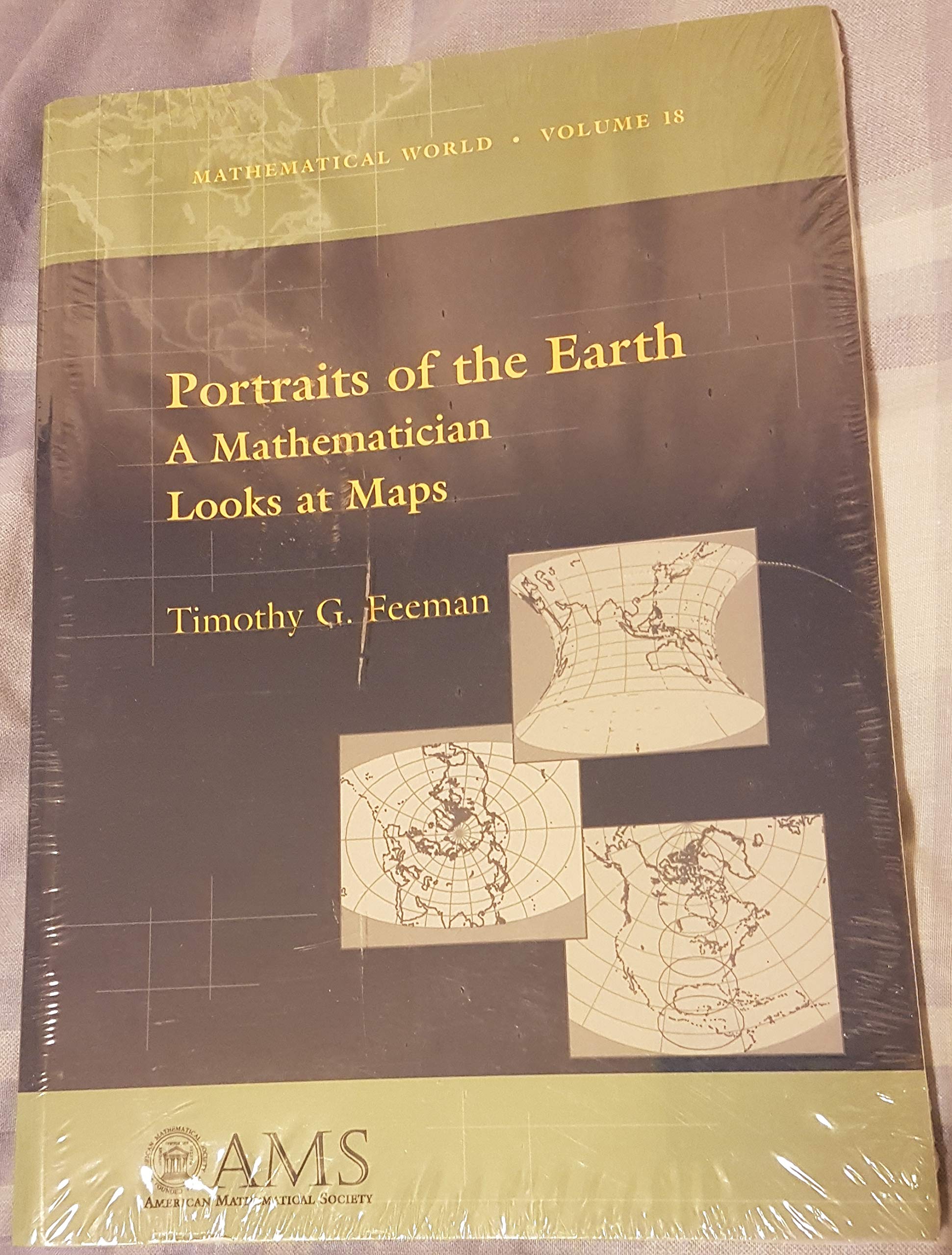
Every Map Is A Tool, A Product Of Human Effort And Creativity, That Represents Some Aspects Of Our World Or Universe ... [This] Course Was Powered By The Belief That By Exploring The Mathematical Ideas Involved In Creating And Analyzing Maps, Students Would See How Mathematics Could Help Them To Understand And Explain Their World.From The Prefaceportraits Of The Earth Exemplifies The Ams'S Mission To Bring The Power And Vitality Of Mathematical Thought To The Nonexpert. It Is Designed To Teach Students To Think Logically And To Analyze The Technical Information That They So Readily Encounter Every Day.Maps Are Exciting, Visual Tools That We Encounter On A Daily Basis: From Street Maps To Maps Of The World Accompanying News Stories To Geologic Maps Depicting The Underground Structure Of The Earth. This Book Explores The Mathematical Ideas Involved In Creating And Analyzing Maps, A Topic That Is Rarely Discussed In Undergraduate Courses. It Is The First Modern Book To Present The Famous Problem Of Mapping The Earth In A Style That Is Highly Readable And Mathematically Accessible To Most Students. Feeman'S Writing Is Inviting To The Novice, Yet Also Interesting To Readers With More Mathematical Experience. Through The Visual Context Of Maps And Mapmaking, Students Will See How Contemporary Mathematics Can Help Them To Understand And Explain The World.Topics Explored Are The Shape And Size Of The Earth, Basic Spherical Geometry, And Why One Can'T Make A Perfect Flat Map Of The Planet. The Author Discusses Different Attributes That Maps Can Have And Determines Mathematically How To Design Maps That Have The Desired Features. The Distortions That Arise In Making World Maps Are Quantitatively Analyzed. There Is An Indepth Discussion On The Design Of Numerous Map Projectionsboth Historical And Contemporaryas Well As Conformal And Equalarea Maps. Feeman Looks At How Basic Map Designs Can Be Modified To Produce Maps With Any Center, And He Indicates How To Generalize Methods To Produce Maps Of Arbitrary Surfaces Of Revolution. Also Included Are Endofchapter Exercises And Laboratory Projects. Particularly Interesting Is A Chapter That Explains How To Use Maple Addon Software To Make Maps From Geographic Data Points.This Book Would Make An Excellent Text For A Basic Undergraduate Mathematics Or Geography Course And Would Be Especially Appealing To The Teacher Who Is Interested In Exciting Visual Applications In The Classroom. It Would Also Serve Nicely As Supplementary Reading For A Course In Calculus, Linear Algebra, Or Differential Geometry. Prerequisites Include A Solid Grasp Of Trigonometry And Basic Calculus.
⚠️ WARNING (California Proposition 65):
This product may contain chemicals known to the State of California to cause cancer, birth defects, or other reproductive harm.
For more information, please visit www.P65Warnings.ca.gov.
- Q: How many pages is 'Portraits of the Earth'? A: This book has one hundred twenty-three pages. It presents mathematical concepts related to maps in an accessible format.
- Q: What is the binding type of this book? A: The binding type is paperback. This makes it lightweight and easy to handle for students.
- Q: What are the dimensions of 'Portraits of the Earth'? A: The book measures seven point twenty-five inches in length, zero point fifty-one inches in width, and ten inches in height.
- Q: What is the author’s name? A: The author of the book is Timothy G. Feeman. He explores the intersection of mathematics and mapmaking in this work.
- Q: What is the main topic of this book? A: The main topic is the mathematical ideas involved in creating and analyzing maps. It aims to help students understand the world through mathematics.
- Q: How do I use this book for my studies? A: You can use this book as a textbook for undergraduate mathematics or geography courses. It includes exercises and projects for practical application.
- Q: Is this book suitable for beginners? A: Yes, this book is suitable for beginners. It is written in a highly readable style and is accessible to those without advanced mathematical knowledge.
- Q: Can this book be used for calculus courses? A: Yes, it serves nicely as supplementary reading for calculus courses. The mathematical concepts presented can enhance understanding of calculus principles.
- Q: What prerequisites are needed to understand this book? A: A solid grasp of trigonometry and basic calculus is recommended. These foundations will help in comprehending the mathematical discussions.
- Q: How do I care for this book? A: To keep this book in good condition, store it in a dry place away from direct sunlight. Handle it gently to avoid damage.
- Q: Is there any special software mentioned in the book? A: Yes, the book mentions using Maple® software. It provides instructions on how to create maps from geographic data points.
- Q: What if I receive a damaged book? A: If you receive a damaged copy, contact the seller for a return or exchange. Ensure to provide details about the damage.
- Q: Does the book include exercises for practice? A: Yes, it includes end-of-chapter exercises and laboratory projects. These are designed to reinforce the concepts discussed throughout the book.
- Q: Is this book appropriate for visual learners? A: Yes, it is especially appealing to visual learners. The exploration of maps provides engaging visual contexts to mathematical concepts.
- Q: What categories does this book fall under? A: The book falls under the category of Astronomy. It discusses mathematical topics related to maps and geography.
- Q: Are there any historical discussions in the book? A: Yes, the book includes discussions on historical map projections. This adds depth to the understanding of contemporary mapmaking.