
Title
Rand McNally 2017 Road Atlas US Canada Mex,Used
Sold by Ergodebooks, an authorized reseller.
Returns accepted within 30 days | support@ergodebooks.com
Shipping Information
- Free Standard Shipping — United States only
- Processing Time: 3–5 business days
- Estimated Delivery: 6–10 business days after dispatch
- Double-boxed, fully insured & discreetly packaged
- Tracking number sent via email once dispatched
Returns & Refund
Returns accepted within 30 days of delivery.
Damaged or Defective Item
Free return shipping + replacement or full refund
Wrong Item Received
Free return shipping + replacement or full refund
Change of Mind
Return shipping at customer's expense · 25% restocking fee applies
Payment Option

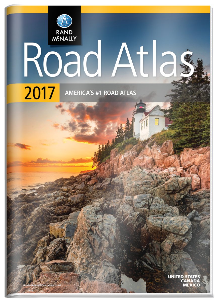
2017 Gift Road AtlasOverviewA durable seethrough cover enhances the classic Road Atlas, making it travelready with added protection against constant use, spills and exposure to the elements. The Rand McNally Road Atlas is the most trusted and bestselling US atlas on the market. This updated North American atlas contains maps of every U.S. state and Canadian province, an overview map of Mexico, and detailed inset maps of over 350 cities and 20 U.S. national parks. Road construction and conditions contact information for every state conveniently located above the maps. Contains mileage chart showing distances between 90 North American cities and national parks along with a driving times map.Other FeaturesBest of the Road Our editor's favorite road trips from our Best of the Road collection follows scenic routes along stretches of coastline, both east and west, to forests mountains, and prairies; and through small towns and big cities. For a weekend or a week there s something for everyone.Tell Rand! As much as we work to keep our atlases up to date, conditions change cquickly and new construction projects begin frequently.Tourism websites and phone numbers for every U.S. state and Canadian province on map pages
⚠️ WARNING (California Proposition 65):
This product may contain chemicals known to the State of California to cause cancer, birth defects, or other reproductive harm.
For more information, please visit www.P65Warnings.ca.gov.
- Q: What are the dimensions of the Rand McNally 2017 Road Atlas? A: The Rand McNally 2017 Road Atlas measures approximately 11 inches by 15 inches when closed.
- Q: Is this atlas suitable for road trips in Canada and Mexico? A: Yes, the atlas includes detailed maps of every U.S. state, Canadian province, and an overview map of Mexico, making it ideal for road trips across North America.
- Q: How many pages does the Rand McNally 2017 Road Atlas have? A: The atlas contains a total of 136 pages.
- Q: What features are included in this road atlas? A: The atlas features maps of over 350 cities, detailed inset maps of 20 U.S. national parks, a mileage chart showing distances between cities, and tourism websites and phone numbers for every U.S. state and Canadian province.
- Q: Is the cover of the atlas durable? A: Yes, the atlas has a durable see-through cover designed to protect against spills and exposure to the elements during travel.
- Q: What is the condition of this product? A: The item condition is listed as 'Good', indicating it is used but in good overall shape.
- Q: Who is the author of the Rand McNally 2017 Road Atlas? A: The atlas is authored by Rand McNally, a well-known name in map publishing.
- Q: When was the Rand McNally 2017 Road Atlas published? A: This atlas was published on April 15, 2016.
- Q: Can I find information on road construction in this atlas? A: Yes, the atlas includes contact information for road construction and conditions for every state, conveniently located above the maps.
- Q: What type of binding does the atlas have? A: The Rand McNally 2017 Road Atlas is bound in a paperback format.